
Kirchstraße in Nortrup
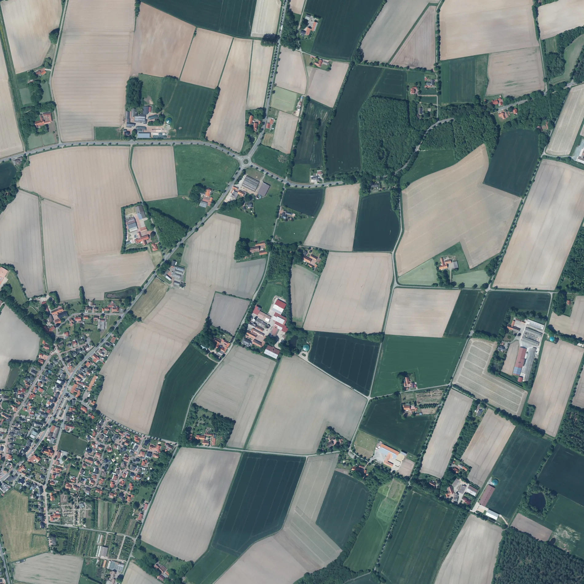
Die Kirchstraße in Nortrup ist eine asphaltierte Wohnstraße. Diese Straße liegt an der Fahrradroute „Mühlen und Schlösser Tour 🔗". In der Umgebung befindet sich unter anderem eine Touristeninformation. Die nächste Haltestelle ist Farwick, Nortrup. Eine Kirchstraße gibt es auch in Samtgemeinde Fürstenau und Samtgemeinde Bersenbrück.
- Straßentyp
- Wohnstraße
Bild
Straßen in der Umgebung
Fissenpad100 m
Friedhofstraße200 m
Fasanenweg300 m
Im Dome350 m
BuchenwegHeimische Vögel
350 m
Ahornweg400 m
Kastanienweg400 m
Druchhorner Straße400 m
Rebhuhnweg400 m
Haller Straße400 m
Tulpenweg400 m
Fichtenweg400 m
Erlenweg400 m
Lange Wand450 m
Am Poggenkamp450 m
Lärchenweg500 m
FarwickstraßeAssmann, Farwick, Café Welp, VR-Bank eG im Altkreis Bersenbrück, Autohaus Hackmann
550 m
MühlenwegWiesenpflanzen
600 m
Alte Pferdekoppel600 m
Rosenweg650 m
Am Reitbach650 m
GartenstraßeJagdhaus Spark Artland
750 m
Ankumer StraßeGut Loxten
750 m
HauptstraßeMay Style, Kemper GmbH, bft, Transrapid 09, Autoteile Wille, Pizzeria-Trattoria ''La Famiglia'', Partyservice Niepmann, Altes Gasthaus Kühst - Bei Vicky, Kassandra, Auto Welp, Nortrup
750 m
Am Bierdamm800 m
Tannenweg800 m
Lindenweg800 m
Mühlenstraße800 m
RodberdingstraßeWolke
900 m
Ortsstraße950 m
Kettenkamper Straße1,0 km
Autowerkstätten in der Umgebung
Autohaus Hackmann300 m
Bauernhöfe in der Umgebung
Peter500 m
Buse700 m
Spargelhof Hölker700 m
Bäche in der Umgebung
Suttruper Bach500 m
Reitbach750 m
Friedhöfe in der Umgebung
Katholischer Friedhof Nortrup100 m
Gebäude in der Umgebung
Alte Mühle800 m
B&R Fliesen Concept900 m
LVD Bernhard Krone GmbH950 m
Getränkemärkte in der Umgebung
Getränke Könning300 m
Gotteshäuser in der Umgebung
St. Aloysius250 m
Dorotheenkirche800 m
Kapellen in der Umgebung
Friedhofskapelle150 m
Sehenswürdigkeiten in der Umgebung
Wasserschloss Loxten1000 m
Supermärkte in der Umgebung
Combi700 m
NP850 m
Wohngebiete in der Umgebung
Nortrup850 m
 ÖPNV-Stadtplan Nortrup Legende
 | Bahn | |
| Bus | |
| Straßenbahn |
 Fahrradstadtplan Nortrup Legende
 | Radweg | |
| Fahrradspur auf der Fahrbahn | |
| Radfahren auf der Busspur | |
| Fahrradstraße | |
| Für Radfahrer frei | |
| Für Radfahrer frei, guter Weg | |
| Radfahren verboten | |
| Kopfsteinpflaster |
| Fernradweg | (je nach Maßstab) | |
| Fernradweg |
 Fußgängerstadtplan Nortrup Legende
 | Pfad |
| Fernwanderweg | (je nach Maßstab) | |
| Fernwanderweg | ||
| Fußgänger verboten |