
Merschdamm in Bottorf
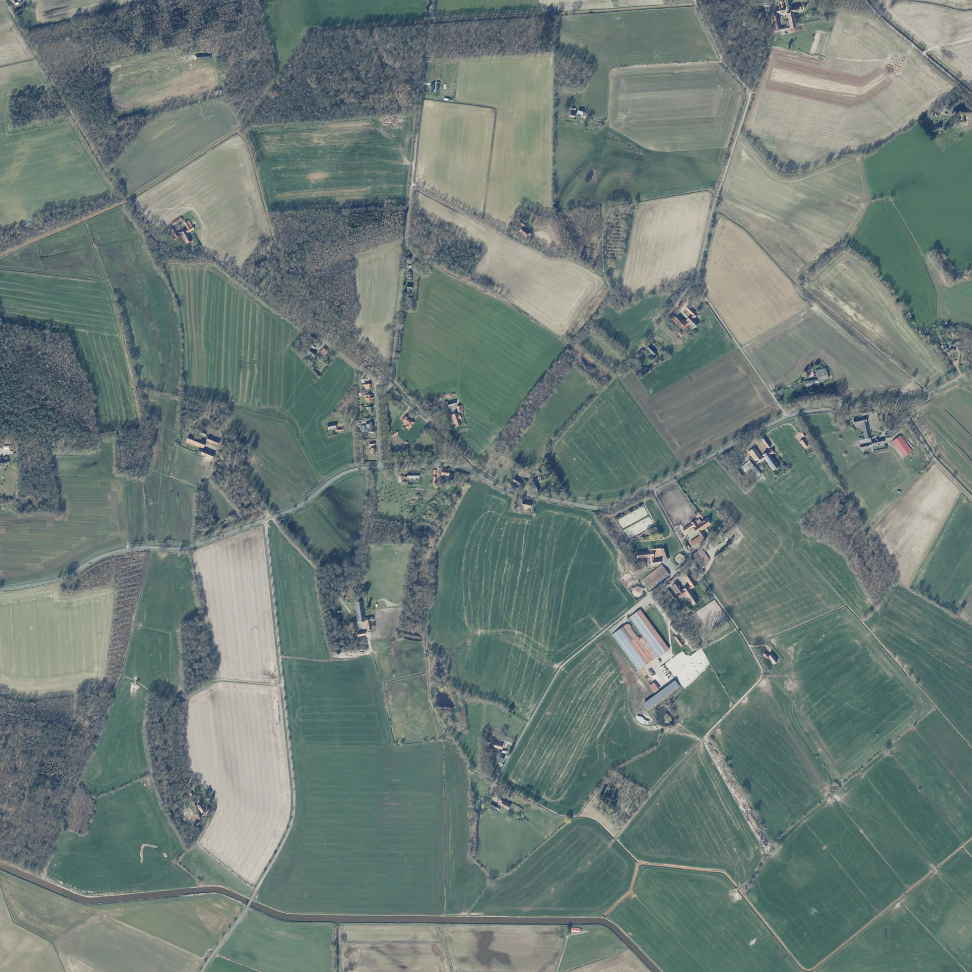
Der Merschdamm in Menslage ist eine zweispurige, asphaltierte nicht klassifizierte Straße. Es ist kein Radweg vorhanden. Er verläuft in Nord-Süd-Richtung von der Quakenbrücker Landstraße kommend und kreuzt die Straße Im Bruche, den Wieruper Weg, den Scheerhagenweg und die Schieringstraße und endet an der Badberger Straße. Er verbindet Menslage und Bottorf. Diese Straße ist Teil von Fernstraße „K 129".
- Straßentyp
- nicht klassifizierte Straße
- Fahrspuren
- 2
- Verlauf
- Nord-Süd
Bild
Bushaltestellen
Tierzuchten
Hofläden
Kneipen
Straßen in der Umgebung
Lünnekamp800 m
Lohweg850 m
Wieruper Weg850 m
Im Goor900 m
Feldhagen950 m
Im Kleeblatt1000 m
Im Bruche1000 m
Enge Straße1,0 km
Schragenkamp1,0 km
Im Mersch1,2 km
Röwekamps Damm1,4 km
SachsenwegHof im Artland
1,5 km
Scheerhagenweg1,5 km
MerschdammGroß Wente
1,5 km
Feldkamp1,5 km
Bruchweg1,5 km
Quakenbrücker LandstraßeLabradorzucht Joetten, Schandorf
1,7 km
Hülsweg1,7 km
Kuhdamm1,8 km
Kampstraße1,9 km
Quakenbrücker StraßeMulti Getränke, Oeverhaus Landschlachterei, Zum Lüttjen, Bahnhof, Altenwohnanlage, VR-Bank eG Osnabrücker Nordland (Menslage), Fahrschule Bewegt, Autohaus Sendur GmbH
2,0 km
Lampeweg2,0 km
Am Bühnenbach2,1 km
Bomes WegBio-Backstube Wieruper Hof
2,1 km
Alter Löninger Weg2,3 km
Abläufe in der Umgebung
linksseitiger Grundabzug850 m
Rechtsseitiger Grundabzug1,9 km
Ackerland in der Umgebung
Auf dem Bottorfer Esche1,1 km
Auf dem Kampe1,3 km
Alte Wiese1,6 km
Bauernhöfe in der Umgebung
Hof Maßmann2,0 km
Bäche in der Umgebung
Eggermühlenbach250 m
Lager Bach400 m
Moorkuhlenbach500 m
Pickriedenbach1,6 km
Reitbach1,7 km
Bühnenbach1,9 km
Flüsse in der Umgebung
Kleine Hase800 m
Gebäude in der Umgebung
Gut Vahlkamp1,4 km
Gewässer in der Umgebung
Kleingewässer auf dem Gore1,1 km
Gräben in der Umgebung
Wieruper Bruchabzug500 m
Merschabzug1,3 km
Picknickplätze in der Umgebung
Bottorfer Klönecke1000 m
Sportzentren in der Umgebung
MSC Artland650 m
Wieruper Modellflugplatz700 m
Tierzuchten in der Umgebung
Stall Ramsbrock950 m
Wiesen in der Umgebung
Auf der Loh850 m
Auf dem Gore900 m
Auf dem Övern1,2 km
Im Märsche1,6 km
 ÖPNV-Stadtplan Bottorf Legende
 | Bahn | |
| Bus | |
| Straßenbahn |
 Fahrradstadtplan Bottorf Legende
 | Radweg | |
| Fahrradspur auf der Fahrbahn | |
| Radfahren auf der Busspur | |
| Fahrradstraße | |
| Für Radfahrer frei | |
| Für Radfahrer frei, guter Weg | |
| Radfahren verboten | |
| Kopfsteinpflaster |
| Fernradweg | (je nach Maßstab) | |
| Fernradweg |
 Fußgängerstadtplan Bottorf Legende
 | Pfad |
| Fernwanderweg | (je nach Maßstab) | |
| Fernwanderweg | ||
| Fußgänger verboten |