
Am Hasberg in Hilter Eppendorf
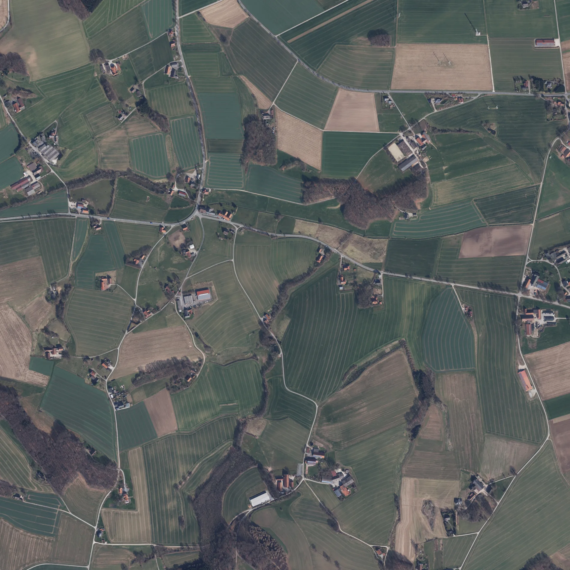
Der Am Hasberg in Hilter ist eine asphaltierte nicht klassifizierte Straße. Die Straße verfügt über eine Fahrbahnbreite von 3.5 m.
- Straßentyp
- nicht klassifizierte Straße
Bild
Hotels
Straßen in der Umgebung
Zur Auheide450 m
Im Sundern650 m
Taubenbreite750 m
Heinrich-Lepper-Straße750 m
Zum Rehagen950 m
Am BruchbachBischofs Hof, Aparthotel & Gestüt
1000 m
Vessendorfer Straße1,1 km
Düppelweg1,2 km
Am Weinberg1,4 km
Borgloher Straße1,4 km
Im Sauerland1,4 km
Dörrelweg1,5 km
Im Wohlgefallen1,6 km
HeidewegRastplatz Teutoburger Wald-West
1,7 km
Brambrook1,8 km
Goldbreede1,8 km
Zur SpitzeBäckerei Annes Backstube, Zur Spitze
1,8 km
Teutoburger Wald Ost1,9 km
Voigtskamp1,9 km
Distelweg2,0 km
Am Sonnenhang2,0 km
Kornblumenweg2,0 km
Am HollenbergAUTOHAUS OVERSCHMIDT
2,0 km
Zum Gersberg2,1 km
Borgloher Senke2,1 km
Am Rulloh2,1 km
Eichholzstraße2,1 km
JohanniswegRehagen, Niedersächsische Mühlen-Tour
2,1 km
Iburger StraßeAm Sportplatz, Bank 12, Overschmidt, Schwarzer Weg, Combi, Combi-Markt, Kreuzung, TERRA.trail, Schomecker
2,1 km
Osnabrücker StraßeRathaus, Ellerweg, Michel, Autohaus Prange GmbH, Autohaus Prange, Altes Gasthaus Ellerweg, Timmermeister, Am Steinbruch, Bahnhof, Schützenhaus, Osnabrücker Straße, medical fitness hilter
2,1 km
Zur WindmühleAussicht vom Wasserturm
2,1 km
Am Sportplatz2,2 km
An der Brandenburg2,2 km
HauptstraßePankratius-Apotheke, Sparkasse Osnabrück, St. Pankratius, Kath. Kindergarten Borgloh, Gasthaus 'Gute Stube', Kirche
2,2 km
Am HülsAm Hüls
2,2 km
Borgloher Schweiz2,2 km
Ackerland in der Umgebung
Holzsammelplatz1,5 km
Bäche in der Umgebung
Mühlenbach750 m
Aubach1000 m
Bruchbach1,2 km
Gebäude in der Umgebung
Libo Ladenbau1,2 km
Altes Spritzenhaus von 18772,2 km
Gewerbegebiete in der Umgebung
Gersmann Containerdienst1,8 km
Industriegebiete in der Umgebung
Brand Gülletechnik850 m
Sportzentren in der Umgebung
Schützenverein Borgloh von 1630 e.V.2,0 km
Unterstände in der Umgebung
Johannislaube2,1 km
Wassertürme in der Umgebung
Wasserturm Borgloh2,3 km
Wohngebiete in der Umgebung
Haus Hagen2,3 km
Wohngebäude in der Umgebung
Wohngemeinschaft "Mitleben"2,0 km
 ÖPNV-Stadtplan Eppendorf Legende
 | Bahn | |
| Bus | |
| Straßenbahn |
 Fahrradstadtplan Eppendorf Legende
 | Radweg | |
| Fahrradspur auf der Fahrbahn | |
| Radfahren auf der Busspur | |
| Fahrradstraße | |
| Für Radfahrer frei | |
| Für Radfahrer frei, guter Weg | |
| Radfahren verboten | |
| Kopfsteinpflaster |
| Fernradweg | (je nach Maßstab) | |
| Fernradweg |
 Fußgängerstadtplan Eppendorf Legende
 | Pfad |
| Fernwanderweg | (je nach Maßstab) | |
| Fernwanderweg | ||
| Fußgänger verboten |