
Mühlenweg in Kirchseelte Klosterseelte
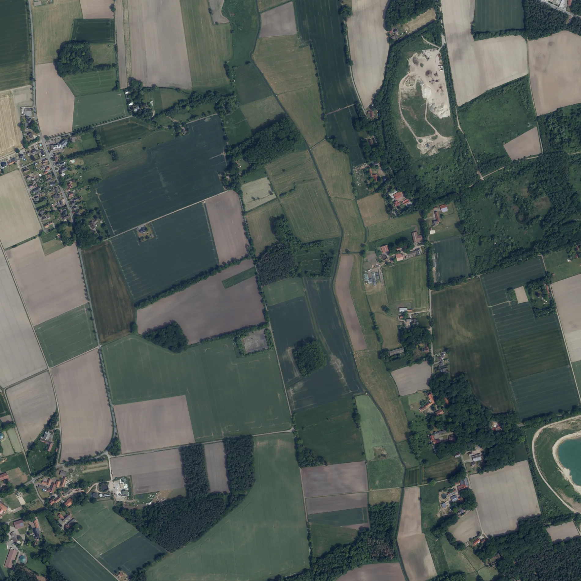
Der Mühlenweg in Klosterseelte in Kirchseelte ist ein asphaltierter Feldweg (befestigter Weg). Die nächste Haltestelle in der Nähe ist Rohlfs (ca. 300 m entfernt).
- Straßentyp
- Feldweg
Bild
Bushaltestellen
Straßen in der Umgebung
Im Grünen Winkel300 m
Zu den Eichen350 m
Im DorfeRohlfs, Abzweig Fesenfeld
400 m
Zum Klosterbachtal750 m
Am Dorfgraben800 m
Auf dem Stubben1000 m
Auf dem Bandel1,0 km
Dornbusch1,1 km
Bei der Schule1,2 km
Bremer WegHilken
1,2 km
Moorweg1,5 km
Neuelandweg1,5 km
Fangweg1,6 km
Auf dem FuchsbergHolzschuhers Gästehaus
1,7 km
Zum Gewerbepark1,7 km
MühlenbergwegMühlenbergweg
1,8 km
DorfstraßeMühle, Eiche, Klosterseelte, Ahrens, Dreimädelhaus, Bahnhof Kirchseelte
1,8 km
Neißegasse1,9 km
Oderstraße2,0 km
Oderweg2,0 km
Bassmerhoopweg2,0 km
Weichselstraße2,0 km
Brachlandweg2,0 km
Ohlegasse2,0 km
Pregelstraße2,1 km
Katzbachgasse2,1 km
Bei der Friedenseiche2,1 km
Mottlauweg2,1 km
Kätinger Heide2,1 km
Warthegasse2,1 km
Bobergasse2,1 km
Nogatweg2,1 km
Weidegasse2,1 km
Netzeweg2,2 km
MemelstraßeMemelstraße
2,2 km
HauptstraßeDünsen, Rogge, BücherTausch, Birkenweg, Amtsheide, Heidesiedlung
2,2 km
Klosterseelter Straße2,2 km
Ahornring2,2 km
Hinter den Höfen2,3 km
Osterfeld2,3 km
Lindbergweg2,3 km
Fachhandel in der Umgebung
INTER-DACH Baustoffe2,0 km
Flüsse in der Umgebung
Klosterbach1,1 km
Gebäude in der Umgebung
DSLAM2,2 km
Gräben in der Umgebung
Wasserzug von Hilken1,7 km
Industriegebiete in der Umgebung
Klosterseelte Z1750 m
Dünsen S12,1 km
Baustoffwerk Kastendiek von Fehrn GmbH & Co. KG2,2 km
Mehrfamilienhäuser in der Umgebung
Altenpension1,1 km
 ÖPNV-Stadtplan Klosterseelte Legende
 | Bahn | |
| Bus | |
| Straßenbahn |
 Fahrradstadtplan Klosterseelte Legende
 | Radweg | |
| Fahrradspur auf der Fahrbahn | |
| Radfahren auf der Busspur | |
| Fahrradstraße | |
| Für Radfahrer frei | |
| Für Radfahrer frei, guter Weg | |
| Radfahren verboten | |
| Kopfsteinpflaster |
| Fernradweg | (je nach Maßstab) | |
| Fernradweg |
 Fußgängerstadtplan Klosterseelte Legende
 | Pfad |
| Fernwanderweg | (je nach Maßstab) | |
| Fernwanderweg | ||
| Fußgänger verboten |