
Bornbruchsweg in Marklohe Wohlenhausen
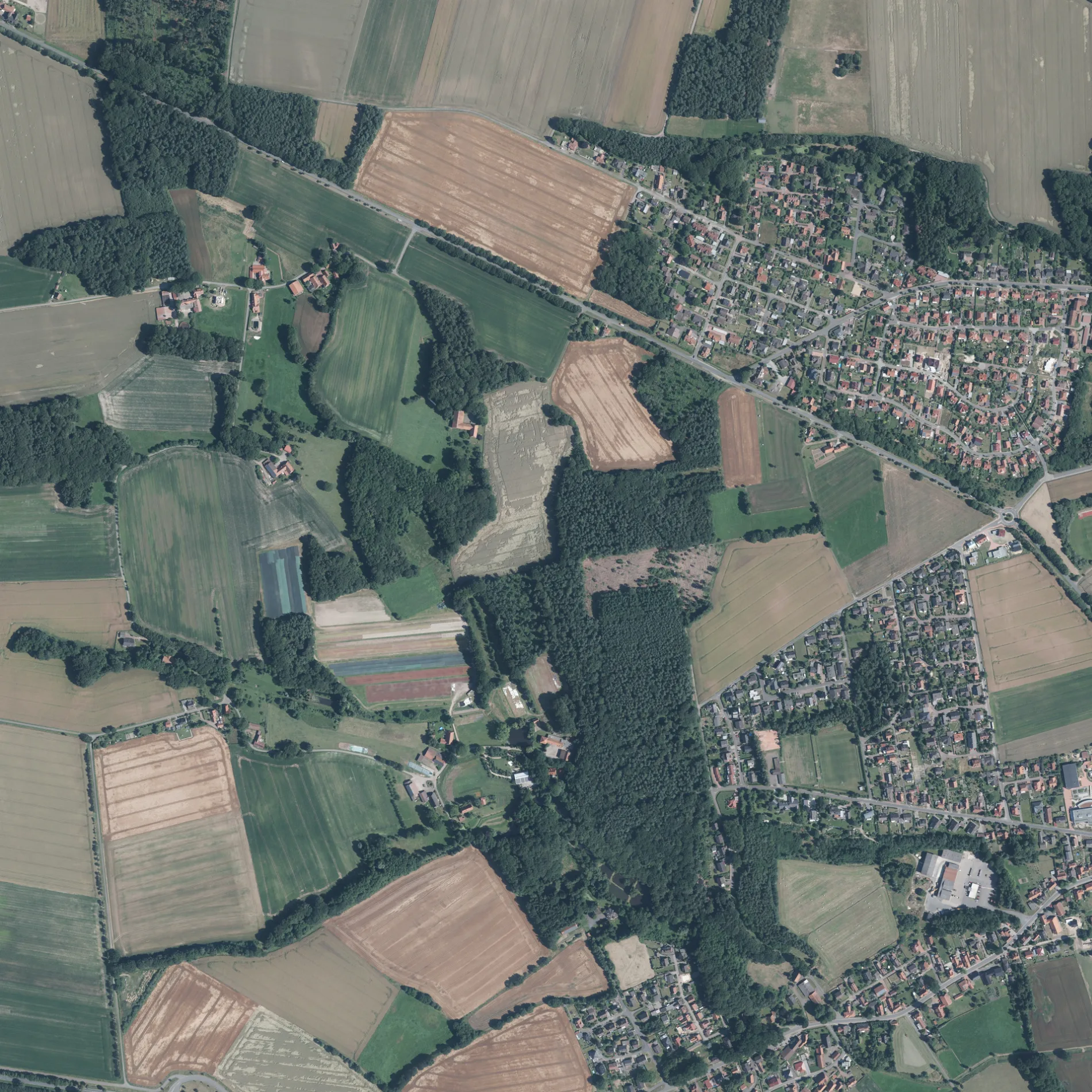
Der Bornbruchsweg in Wohlenhausen in Marklohe ist eine asphaltierte Wohnstraße. Er verläuft in Nord-Süd-Richtung von der Wohlenhauser Straße kommend.
- Straßentyp
- Wohnstraße
- Verlauf
- Nord-Süd
Bild
Restaurants
Straßen in der Umgebung
Feldstraße350 m
Wohlenhauser StraßeWohlenhausen
450 m
Sulinger StraßeLemke, Sulinger Straße, Athen, Lemke, Lemke, Am Dorfteich, Alona Style
650 m
Liebenauer Weg950 m
Am Kalksandsteinwerk1000 m
Kornstraße1000 m
Auf dem Rahden1,1 km
Amselring1,1 km
Finkenweg1,1 km
Memelweg1,2 km
Mühlenteich1,2 km
Glisser Weg1,2 km
Danziger Weg1,2 km
Putterberg1,3 km
Schafstrift1,4 km
Bremer StraßeMarklohe, Abzw. Wohlenhausen, Abzweig Wohlenhausen, Sudhalenbeck, Alte B 6
1,4 km
An den Höfen1,4 km
Neißeweg1,4 km
Heyer Weg1,4 km
Birkenweg1,4 km
An der Schleifmühle1,4 km
Altes Spargelfeld1,4 km
Hubertusweg1,4 km
Schnakenberg1,4 km
Am Braken1,5 km
BornbruchsheideRundwanderwege Oyler-Berg
1,5 km
Weichselweg1,5 km
Kiefernweg1,5 km
Oderweg1,5 km
Krummer Soor1,5 km
Dallkamp1,5 km
Fuchsweg1,5 km
SteinlageGlissen, Nord
1,5 km
Lönsweg1,5 km
Sandstraße1,6 km
Oberes Feld1,6 km
Wiesengrund1,6 km
Widukindstraße1,7 km
Moorweg1,8 km
Am Torfstich1,8 km
Oyler BergWaldgaststätte Oyler Berg
1,8 km
Großer Kamp2,0 km
TeichwegGlissen, Ort
2,0 km
Bäche in der Umgebung
Oyler Mühlenbach1,6 km
Feuerwachen in der Umgebung
Feuerwehr Wohlenhausen1,0 km
Gewässer in der Umgebung
Feuerlöschteich1,6 km
Industriegebiete in der Umgebung
Kalksandsteinwerk1000 m
Spielplätze in der Umgebung
Spielplatz Heidberg1,5 km
Spielplatz An den Teichen1,5 km
 ÖPNV-Stadtplan Wohlenhausen Legende
| Bahn | |
| Bus | |
| Straßenbahn |
 Fahrradstadtplan Wohlenhausen Legende
| Radweg | |
| Fahrradspur auf der Fahrbahn | |
| Radfahren auf der Busspur | |
| Fahrradstraße | |
| Für Radfahrer frei | |
| Für Radfahrer frei, guter Weg | |
| Radfahren verboten | |
| Kopfsteinpflaster |
| Fernradweg | (je nach Maßstab) | |
| Fernradweg |
 Fußgängerstadtplan Wohlenhausen Legende
| Pfad |
| Fernwanderweg | (je nach Maßstab) | |
| Fernwanderweg | ||
| Fußgänger verboten |