
Eickhof in Balge
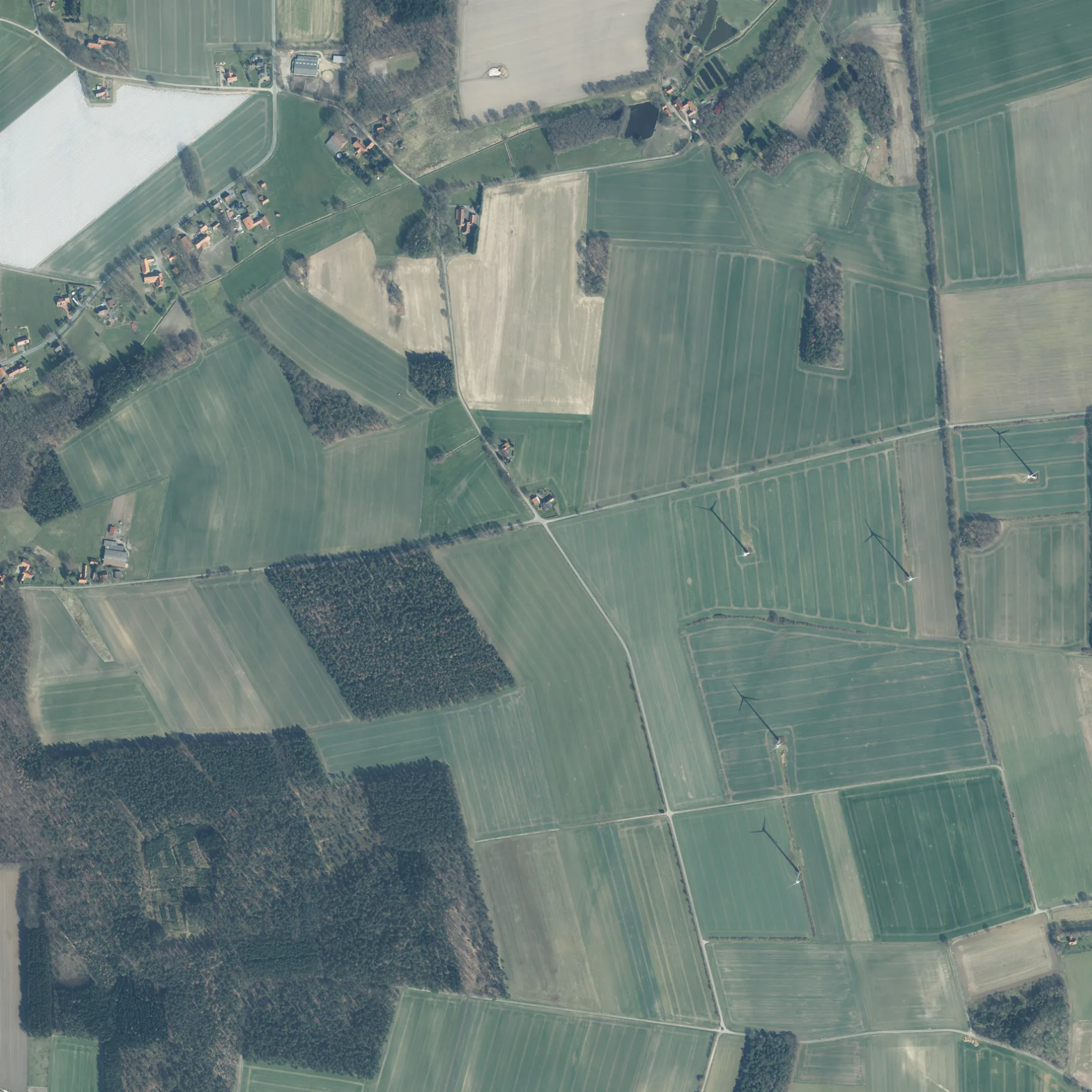
Der Eickhof in Balge ist eine asphaltierte nicht klassifizierte Straße. Er verläuft in Ost-West-Richtung und endet an der Bötenberger Heerstraße, während das andere Ende eine Sackgasse ist. Die nächste Bushaltestelle in der Nähe ist Bötenberg, Feuerwehrgerätehaus (ca. 650 m entfernt). Einen Eickhof gibt es auch in Liebenau.
- Straßentyp
- nicht klassifizierte Straße
- Verlauf
- Ost-West
Bild
Bushaltestellen
Straßen in der Umgebung
Bötenberger Heerstraße400 m
Benther Mühle1000 m
Bötenberger StraßeBötenberg, Feuerwehrgerätehaus, Bötenberg Feuerwehrgerätehaus, Bötenberg, Reithalle, Neuloher Hof
1,1 km
Am SteinkampEnergie-Entdecker Route Station 6 - Windpark Marklohe-Mehlbergen
1,2 km
An den Höfen1,2 km
Schmalenbruch1,4 km
Kornstraße1,4 km
Hubertusweg1,5 km
Bremer StraßeMarklohe, Abzw. Wohlenhausen, Abzweig Wohlenhausen, Sudhalenbeck, Alte B 6
1,5 km
Am SechsackerRuheforst Marklohe
1,5 km
Liebenauer WegSudhalenbeck, Liebenauer Weg
1,5 km
Zum Lerchenfeld1,5 km
Halenbecker Straße1,6 km
Dolldorfer StraßeDolldorf, Dorfgemeinschaftshaus, Dolldorf, Blenhorst, Abzw. Dolldorf
1,6 km
An den Teichen1,6 km
Birkenweg1,7 km
Im Felde1,7 km
Kiefernweg1,7 km
Wiesengrund1,7 km
Dolldorfer Eichenweg1,9 km
An der Schleifmühle1,9 km
Altarbergsheide1,9 km
Am Goldberg1,9 km
Johannhoop1,9 km
Holscher Weg1,9 km
Am ZuckerbergRuheforst Marklohe
1,9 km
Dallkamp1,9 km
Widukindstraße1,9 km
Hoyaer StraßeSpeicher-Kaffee, Vier Jahreszeiten Cosmetics, Nietsche GmbH, Friseursalon Anna Rose, Straße der Lieder - Station 9, Marklohe, Hoyaer Straße, Heimatspiele Marklohe, REWE Parkplatz, Bäckerei Deicke, Samtgemeinde Marklohe, Marklohe, Mitte, öffentlicher Bücherschrank, Straße der Lieder - Station 8, Marklohe, Freilichtbühne
1,9 km
Möhlenhalenbecker StraßeMöhlenhalenbeck
2,0 km
Mühlenweg2,0 km
Königsberger Weg2,0 km
Alter Schulweg2,0 km
Im Grund2,1 km
Probsthainer Weg2,1 km
Lebuinstraße2,1 km
Oberes Feld2,1 km
Altes Spargelfeld2,1 km
Arztpraxen in der Umgebung
Dipl. med. Uwe Hirsch1,7 km
Bäche in der Umgebung
Schmalenbruchgraben1,6 km
Blenhorster Bach2,1 km
Feuerwachen in der Umgebung
Freiwillige Feuerwehr Bötenberg650 m
Feuerwehr Wohlenhausen1,4 km
Friedhöfe in der Umgebung
Privatfriedhof "von Arensdorf"2,1 km
Gebäude in der Umgebung
Michael Klein1,6 km
Parks in der Umgebung
Gutspark "von Arendorf"2,0 km
Sozialeinrichtungen in der Umgebung
Seniorenzentrum Am Goldberg1,9 km
Spielplätze in der Umgebung
Spielplatz An den Teichen1,5 km
Spielplatz Oberes Feld2,0 km
 ÖPNV-Stadtplan Balge Legende
 | Bahn | |
| Bus | |
| Straßenbahn |
 Fahrradstadtplan Balge Legende
 | Radweg | |
| Fahrradspur auf der Fahrbahn | |
| Radfahren auf der Busspur | |
| Fahrradstraße | |
| Für Radfahrer frei | |
| Für Radfahrer frei, guter Weg | |
| Radfahren verboten | |
| Kopfsteinpflaster |
| Fernradweg | (je nach Maßstab) | |
| Fernradweg |
 Fußgängerstadtplan Balge Legende
 | Pfad |
| Fernwanderweg | (je nach Maßstab) | |
| Fernwanderweg | ||
| Fußgänger verboten |