
Deponiestraße in Westoverledingen Folmhusen
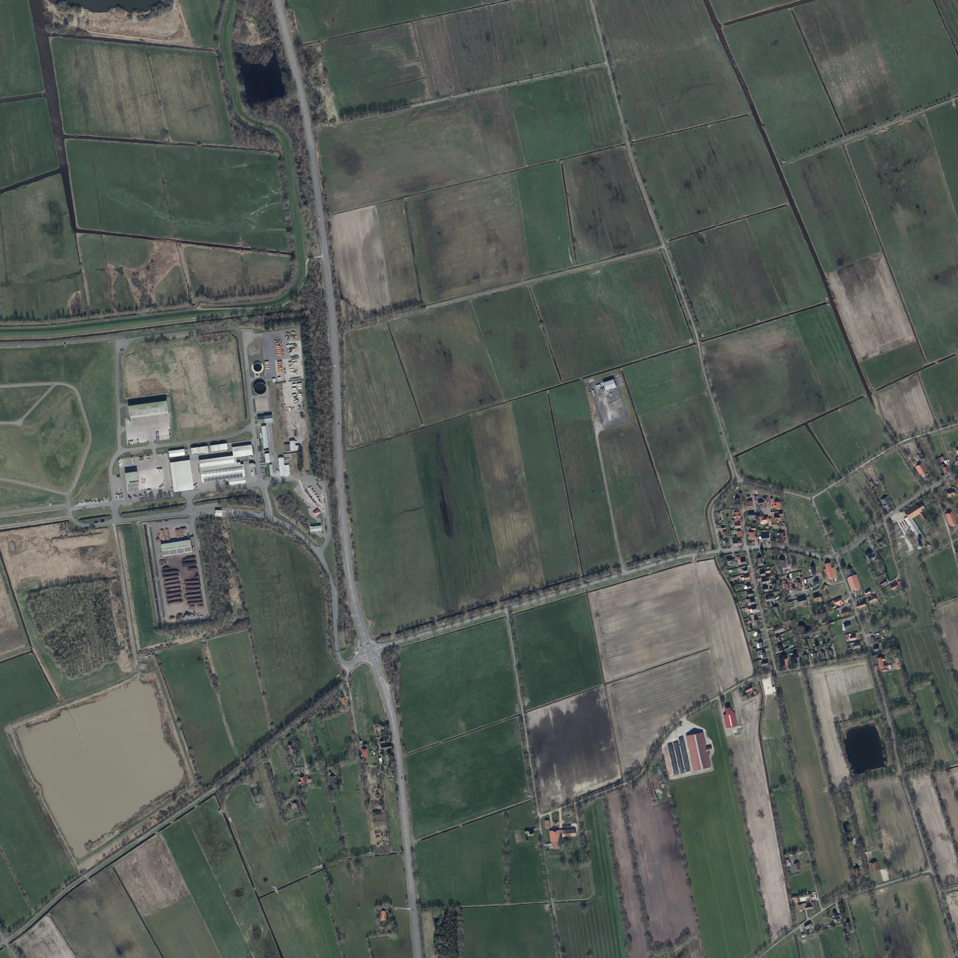
Die Deponiestraße in Folmhusen in Westoverledingen ist eine Nebenstraße und verläuft in Ost-West-Richtung.
- Straßentyp
- Nebenstraße
- Verlauf
- Ost-West
Bild
Feuerwachen
Bushaltestellen
Straßen in der Umgebung
Breinermoorer Straße300 m
Lüdeweg650 m
Weideweg II950 m
Dummert950 m
Herzogstraße950 m
An den Wiesen950 m
Weideweg I1000 m
Ritterstraße1,0 km
Leerer Straße1,0 km
Hüttjerei1,1 km
Soedeweg1,1 km
Westerstraße1,2 km
Folmhuser Bahnweg I1,2 km
Achterstadt1,3 km
Schippsteweg1,3 km
Brückenstraße1,3 km
Wilderfang1,3 km
Idehörner Straße1,4 km
Prinzenstraße1,4 km
Blinkstücker Straße1,4 km
Schelfstraße1,4 km
Farnstraße1,5 km
Folmhuser Bahnweg II1,7 km
Moorkampen1,7 km
Papenburger Straße1,8 km
Loogweg1,8 km
Osterender Weg1,8 km
Zu den Höfen I1,8 km
Spriekenborger Straße1,8 km
Collinghorster Straße1,9 km
Zum Schöpfwerk1,9 km
Am Sieltief2,0 km
Esklumer Straße2,0 km
Moscheweg2,0 km
Osterstraße2,1 km
Bäche in der Umgebung
Esklumer Sieltief500 m
Friedhöfe in der Umgebung
Friedhof Breinermoor1,4 km
Gebäude in der Umgebung
Entsorgungszentrum Breinermoor100 m
Gewässer in der Umgebung
Polderschloot2,0 km
Gotteshäuser in der Umgebung
Sankt Sebastian und Sankt Vincenz1,2 km
Gräben in der Umgebung
Folmhuser Zugschloot300 m
Wallschloot1,8 km
Moscheschloot1,9 km
Hotels in der Umgebung
Hotel-Restaurant Lange1,9 km
Industriegebiete in der Umgebung
Entsorgungsbetriebe Breinermoor250 m
Kanäle in der Umgebung
Polderkanal1,4 km
Breinermoorer Sieltief2,1 km
Naturschutzgebiete in der Umgebung
Entlastungspolder1,0 km
Sportplätze in der Umgebung
Ortsverein Breinermoor1,3 km
ÖPNV-Stadtplan Folmhusen Legende
| Bahn | |
| Bus | |
| Straßenbahn |
Fahrradstadtplan Folmhusen Legende
| Radweg | |
| Fahrradspur auf der Fahrbahn | |
| Radfahren auf der Busspur | |
| Fahrradstraße | |
| Für Radfahrer frei | |
| Für Radfahrer frei, guter Weg | |
| Radfahren verboten | |
| Kopfsteinpflaster |
| Fernradweg | (je nach Maßstab) | |
| Fernradweg |
Fußgängerstadtplan Folmhusen Legende
| Pfad |
| Fernwanderweg | (je nach Maßstab) | |
| Fernwanderweg | ||
| Fußgänger verboten |