
Am Fehn in Uplengen Nordgeorgsfehn
Am Fehn in Nordgeorgsfehn in Uplengen ist eine Nebenstraße. Die nächste Bushaltestelle in der Nähe ist Fehnweg/Obenende Süd (ca. 150 m entfernt).
- Straßentyp
- Nebenstraße
Bild
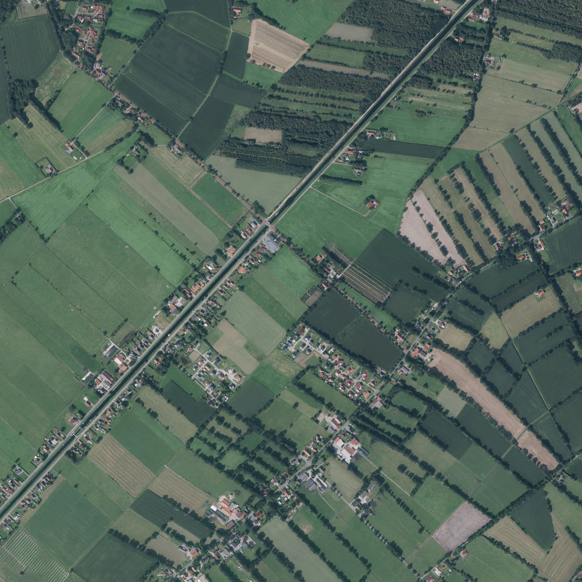
Bushaltestellen
Straßen in der Umgebung
FehnwegFriesenstraße/Zichterstraße, Fehnweg/Obenende Süd
150 m
Obenende Nord250 m
Obenende SüdObenende Süd 65, Obenende Süd/Klein-Remelser-Straße
500 m
Klein-Remelser-StraßeKlein-Remelser-Weg/Friesenstraße
550 m
Albartusstraße600 m
Flurweg650 m
Schleusenstraße700 m
UferstraßeGemeinde Uplengen
750 m
Maßweg850 m
Selverder Grenzweg850 m
Sooreendenweg900 m
Moorennweg1000 m
PollerstraßeElektrotechnik Renken, Pollerstraße/Am Poller
1,1 km
Leegdeweg1,2 km
An der Leegde1,2 km
Oldbargsmoorweg1,2 km
Wallstraße1,2 km
FriesenstraßeFriesenstraße/Buschweg, Friesenstraße/Wallstraße, Black Jack
1,2 km
ZichterstraßeZichterstraße/Leegdeweg
1,2 km
Am Poller1,3 km
Torfmoorweg1,3 km
AchterhornwegSelverde
1,4 km
Klein-Remelser-WegKlein-Remelser-Weg/Burgenweg, Klein-Remelser-Weg 3-7, Alter Wüddenweg/Hollener Straße
1,4 km
Klein Hollener Straße1,4 km
Katzmoorstraße1,4 km
Weißdornweg1,5 km
Erlenstraße1,5 km
Weißdornstraße1,5 km
Börgmannsweg1,5 km
Stüsskampsweg1,6 km
Hinter dem Felde1,6 km
Dellekampsweg1,6 km
Selverder StraßeSelverder Straße/Dellekampsweg, L24/Am Torfmoor, L24/Süderstraße, Selverder Straße/Westerstraße
1,6 km
Zinskenfehner Straße1,6 km
Neishornweg1,6 km
Gastackersweg1,6 km
Holunderstraße1,6 km
VorstückstraßeFreiwillige Feuerwehr Selverde
1,7 km
Fasanenstraße1,7 km
Westerstraße1,7 km
Gemeinschaftszentren in der Umgebung
Dorfgemeinschaftshaus Klein-Remels500 m
Dorfgemeinschaftshaus Selverde1,8 km
Gräben in der Umgebung
Bruchmoorschloot1000 m
Katzmoorgraben1,0 km
Gerdesschloot1,6 km
Industriegebäude in der Umgebung
Bauunternehmen Eilert de Freese450 m
Kanäle in der Umgebung
Nordgeorgsfehnkanal500 m
Restaurants in der Umgebung
Miki's Steakhouse1,5 km
Spielplätze in der Umgebung
Spielplatz Albartusstraße450 m
 ÖPNV-Stadtplan Nordgeorgsfehn Legende
 | Bahn | |
| Bus | |
| Straßenbahn |
 Fahrradstadtplan Nordgeorgsfehn Legende
 | Radweg | |
| Fahrradspur auf der Fahrbahn | |
| Radfahren auf der Busspur | |
| Fahrradstraße | |
| Für Radfahrer frei | |
| Für Radfahrer frei, guter Weg | |
| Radfahren verboten | |
| Kopfsteinpflaster |
| Fernradweg | (je nach Maßstab) | |
| Fernradweg |
 Fußgängerstadtplan Nordgeorgsfehn Legende
 | Pfad |
| Fernwanderweg | (je nach Maßstab) | |
| Fernwanderweg | ||
| Fußgänger verboten |