
DLK-Nord in Rhauderfehn
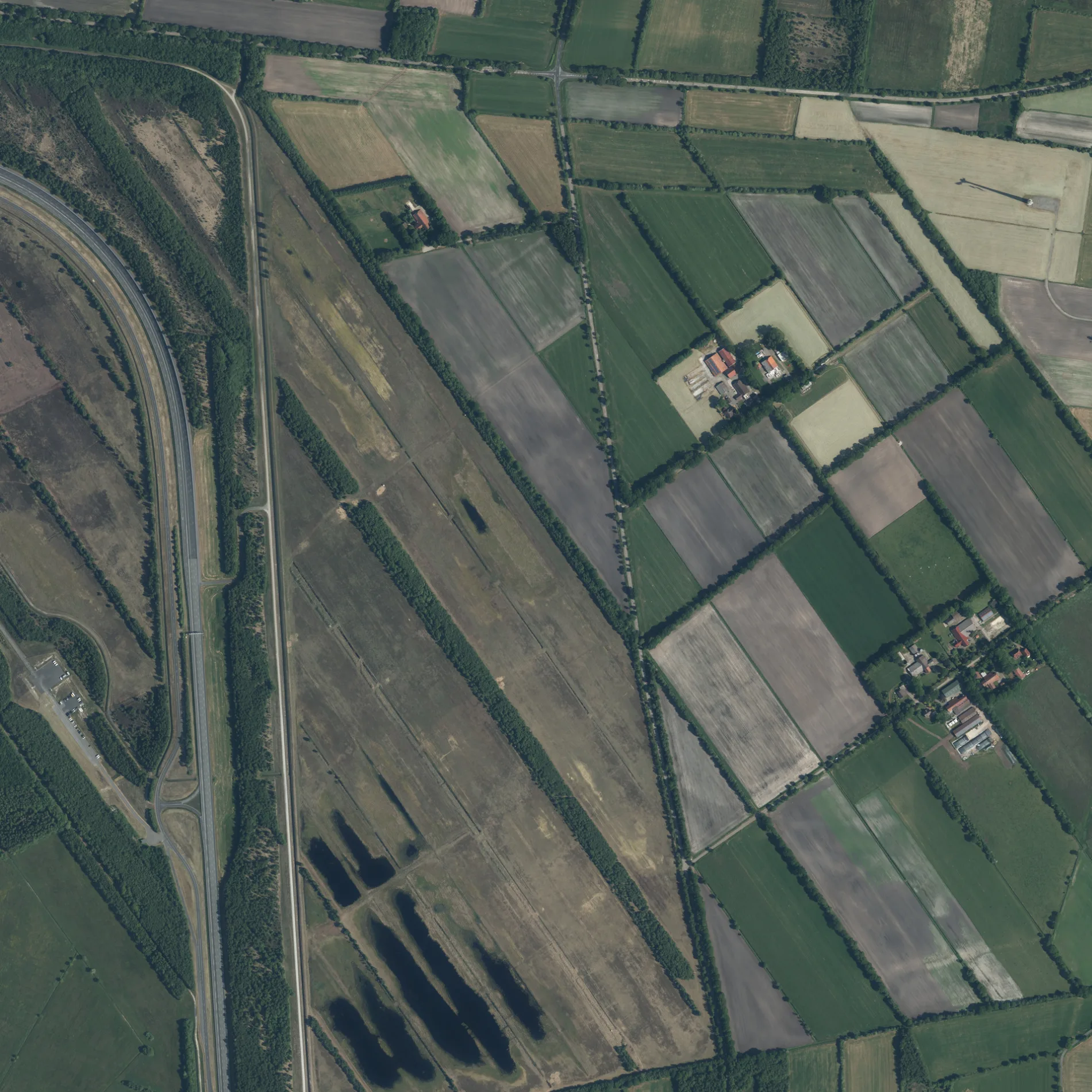
DLK-Nord in Rhauderfehn ist eine nicht klassifizierte Straße (privat).
- Straßentyp
- nicht klassifizierte Straße
Bild
Bushaltestellen
Straßen in der Umgebung
AKS150 m
Hasenstraße3. Südwieke/Hasenstraße
1000 m
Vossweg3. Südwieke/Vossweg
1000 m
Steigung 12%1,1 km
Twist Road1,1 km
Alte Johann Bunte Straße1,1 km
Steigung 18%1,2 km
Iltisstraße1,3 km
Werkschutzstraße1,4 km
3. Südwieke3. Südwieke/Papenburger Straße, 3. Südwieke 91, 3. Südwieke/Westwieke, Bron, Rhauderfehn, 3. Südwieke/Rajen, Kfz Meisterbetrieb Kramer, 3. Südwieke/Vossweg, 3. Südwieke/Hasenstraße
1,4 km
TorfstraßeTorfstraße/Brunzeler Straße
1,5 km
Brunzeler Weg1,6 km
HAK1,7 km
Johann-Bunte-Straße1,8 km
Lüchtenburg linksAvia, Lüchtenburg 123, Lüchtenburg 135, Lüchtenburg 85, Lüchtenburg/Ecke Schwarzenbergweg, Schomaker OHG Zweirad-Fachgeschäft, Fuhrunternehmen Rolfes
1,8 km
Lüchtenburg rechts1,8 km
Rebhuhnstraße1,9 km
Ulenring2,0 km
Kreisel 12,0 km
BirkhahnstraßeBirkhahnstraße/Kiebitzwiesen, Tafel Rhauderfehn, Kfz-Service Engel
2,0 km
ReinekestraßeReinekestraße 14, Reinekestraße 1, Reinekestraße 7/An den Kiebitzwiesen, Reinekestraße 6, Windpark Klostermoor
2,0 km
Wedelgasse2,0 km
City Dauerlauf Parcours2,0 km
SWS2,1 km
Salzwasserdurchfahrt2,1 km
Kreisel 22,1 km
Erste Wiek linksErste Wiek links 75, Erste Wiek links 32, nah und gut Strohschnieder, Erste Wiek links/Splitting, Erste Wiek/Möhlmannsweg, Erste Wiek/Forststraße
2,1 km
Carl-Benz-Straße2,2 km
Am Sportplatz2,2 km
Ulmenring2,2 km
LerchengangKlostermoor
2,2 km
Bussardstraße2,3 km
Alter BrunselAlter Brunsel, Alter Brunsel 8
2,5 km
BMK2,5 km
FDY2,6 km
Bauflächen in der Umgebung
Baugebiet "4.04 Klosterweg Erweiterung"2,0 km
Gebäude in der Umgebung
Werkstattgebäude W1,4 km
Prüfstandsgebäude1,5 km
Werkstattgebäude D1,6 km
Sommerwerkstätten S1,6 km
Betriebs- und Verwaltungsgebäude1,6 km
Daimler Halle1,7 km
Gewerbegebiete in der Umgebung
Gewerbegebiet am Prüfgelände2,3 km
Gewässer in der Umgebung
Karpfenteich1,6 km
Wasserschlösschen2,3 km
Kanäle in der Umgebung
Erste-Wiek-Kanal2,0 km
Spielzeuggeschäfte in der Umgebung
Hubi Hütte1,3 km
Sportplätze in der Umgebung
TSV Klostermoor2,0 km
Öffentliche Toiletten in der Umgebung
Alte Wache1,6 km
 ÖPNV-Stadtplan Rhauderfehn Legende
 | Bahn | |
| Bus | |
| Straßenbahn |
 Fahrradstadtplan Rhauderfehn Legende
 | Radweg | |
| Fahrradspur auf der Fahrbahn | |
| Radfahren auf der Busspur | |
| Fahrradstraße | |
| Für Radfahrer frei | |
| Für Radfahrer frei, guter Weg | |
| Radfahren verboten | |
| Kopfsteinpflaster |
| Fernradweg | (je nach Maßstab) | |
| Fernradweg |
 Fußgängerstadtplan Rhauderfehn Legende
 | Pfad |
| Fernwanderweg | (je nach Maßstab) | |
| Fernwanderweg | ||
| Fußgänger verboten |