
Bergstraße in Rhauderfehn
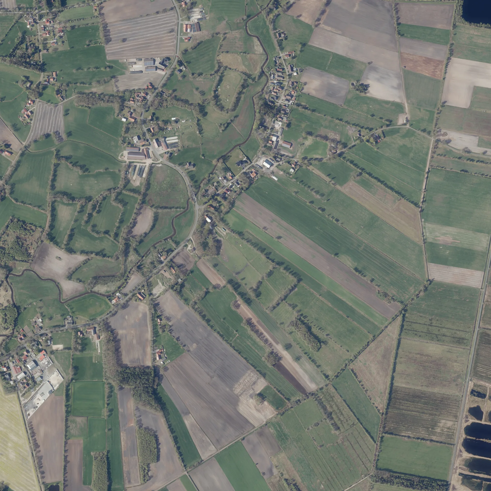
Die Bergstraße in Rhauderfehn ist eine Wohnstraße. Die nächste Bushaltestelle in der Nähe ist Landesstraße/Am Heidacker (ca. 800 m entfernt). Eine Bergstraße gibt es auch in Landkreis Aurich, Oldenburg, Landkreis Helmstedt, Wolfsburg und Landkreis Diepholz.
- Straßentyp
- Wohnstraße
Bild
Bushaltestellen
Straßen in der Umgebung
Klosterweg300 m
Lümpkenweg400 m
Schaftrift600 m
Am Heidacker850 m
Am Tief1,2 km
Freitagstraße-SüdFreitagstraße Süd 43/Kapelle, Freitagstraße Süd 3/6, Freitagstraße Süd 16/21, Freitagstraße Süd/Unterweg
1,2 km
Am Saterberg1,3 km
Denkmalstraße1,4 km
Ringstraße1,5 km
Enzianweg1,5 km
ForststraßeTigris
1,5 km
TulpenstraßeBurlage
1,5 km
Nelkenstraße1,6 km
Asternstraße1,7 km
Margeritenstraße1,7 km
Moorgutsweg1,7 km
Imkerweg1,8 km
Fliederstraße1,8 km
JammertalstraßeFeriengebiet Südliches Ostfriesland, Jammertal
1,8 km
Dahlienweg1,9 km
Ginsterweg1,9 km
Narzissenweg1,9 km
Heerestraße1,9 km
Veilchenweg2,0 km
Heideweg2,0 km
Lilienweg2,1 km
Unterweg2,2 km
Siedlungsstraße2,4 km
Croneallee2,4 km
Brunzeler StraßeBrunzeler Straße/Forststraße, Brunzeler Straße/3. Südwieke
2,4 km
Rektor-Weiß-Straße2,5 km
LandesstraßeLandesstraße/Rektor-Weiß-Straße, Weiß, Rhauderfehn, Landesstraße 4, Landesstraße/Am Heidacker, Landesstraße/Gronewoldstraße, Landesstraße/Heideweg, Landes-/Brunzeler Straße, Burlage Schule, Freitagstraße Süd/Landesstraße
2,5 km
Alter BrunselAlter Brunsel, Alter Brunsel 8
2,5 km
Breite Pol2,6 km
Weidenweg2,7 km
Emslandweg2,8 km
KirchstraßeKirchstraße/Wiesenweg, Haarstudio Bohlmann, Kirchstraße/Grundschule, Grundschule, Volksbank eG Westrhauderfehn, Le Point
2,9 km
Cafés in der Umgebung
Dat Hofcafé1,5 km
Deponien in der Umgebung
Kompostwerk Rhauderfehn2,3 km
Feuerwachen in der Umgebung
Freiwillige Feuerwehr Burlage1,3 km
Flüsse in der Umgebung
Burlager-Langholter Tief mit Langholter Merr und Hauptfehnkanal450 m
Burlager-Langholter Tief1,5 km
Burlage-Langholter Tief1,9 km
Gebäude in der Umgebung
Arbeitskreis Schule Rhauderfehn e.V.800 m
Burlager Windmühle2,3 km
Gewässer in der Umgebung
Teich an den Türmen1,9 km
Gotteshäuser in der Umgebung
Johanneskapelle850 m
Gräben in der Umgebung
Esterweger Doseschloot2,4 km
Sportplätze in der Umgebung
SV-Burlage1,3 km
 ÖPNV-Stadtplan Rhauderfehn Legende
 | Bahn | |
| Bus | |
| Straßenbahn |
 Fahrradstadtplan Rhauderfehn Legende
 | Radweg | |
| Fahrradspur auf der Fahrbahn | |
| Radfahren auf der Busspur | |
| Fahrradstraße | |
| Für Radfahrer frei | |
| Für Radfahrer frei, guter Weg | |
| Radfahren verboten | |
| Kopfsteinpflaster |
| Fernradweg | (je nach Maßstab) | |
| Fernradweg |
 Fußgängerstadtplan Rhauderfehn Legende
 | Pfad |
| Fernwanderweg | (je nach Maßstab) | |
| Fernwanderweg | ||
| Fußgänger verboten |