
Hellegrundstraße in gemeindefreies Gebiet Merxhausen
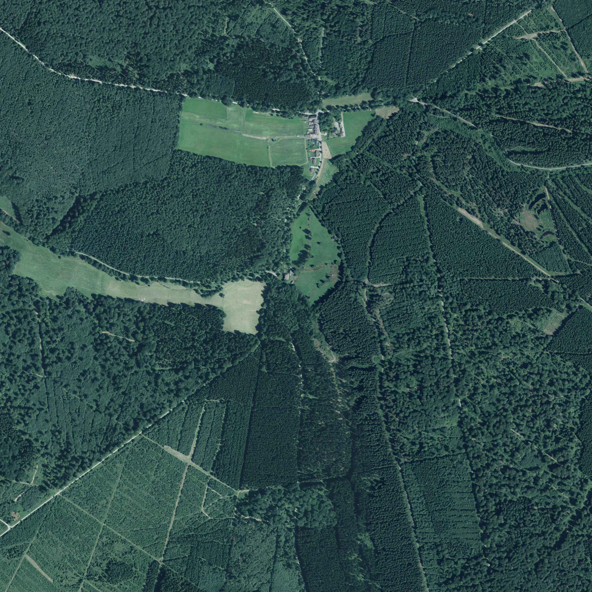
Die Hellegrundstraße in Merxhausen (gemeindefreies Gebiet) ist ein wassergebundener Feldweg (Schotterweg). Sie verläuft in Nordost-Südwest-Richtung von der Neuhäuser Straße kommend.
- Fahrrad
- ja
- Straßentyp
- Feldweg
- Verlauf
- Nordost-Südwest
Bild
Touristeninformationen
Straßen in der Umgebung
Neuhäuser StraßeF. Eder Hütte
850 m
Leitzmannstraße850 m
Alte Einbecker StraßeSchießhaus
1,0 km
Hellentaler Straße1,5 km
Kötenweg1,8 km
Schiesshäuser Straße1,8 km
Langer Weg1,9 km
Heinader Straße1,9 km
Rinderstallweg2,4 km
Sommerweg2,5 km
Nagelbachstraße2,5 km
Merxhäuser Straße2,7 km
Heuweg2,7 km
Herrenkampsweg2,9 km
Bohlweg3,3 km
Spitzehagenstraße3,3 km
Liethbergstraße3,3 km
PilgrimPilgrim
3,3 km
An der Koppel3,4 km
Heinemannsgrundweg3,5 km
An der Reihe3,5 km
HauptstraßeVom Hüttenplatz zum Waldarbeiterdorf
3,5 km
Am TeichHellental, Museum Im Backhaus
3,5 km
Lönsstraße3,5 km
SollingstraßeGewachsenes Hellental, Der Graslandpfad im Hellental, NATURA 2000 - Gebiete im Landkreis Holzminden - Das Hellental, Willkommen im Hellental
3,6 km
EulenwegNaturlehrpfad Hasselbach, Vor dem Pippingsborn
3,6 km
Zum Winkel3,6 km
Wald-Baden3,6 km
SteinäsenwegSteinnäse
3,7 km
MühlenbergZur Sollingsruh, Mühlenberg, Bundesstraße, Mühlenberg, Gerätehaus, Grillplatz
3,8 km
Schließhäuser StraßeNaturlehrpfad Hasselbach, Hexenhaus
3,9 km
MittelbergstraßeDas Mecklenbruch, Mittelberg-Hütte, Wanderparkplatz Mecklenbruch, Naturpark Solling-Vogler, Nordic Walking Park Silberborn, Wanderkarte Mecklenbruch, Imbiss Meyer
4,0 km
Torfhüttenstraße4,0 km
Böntalweg4,1 km
Bauernhöfe in der Umgebung
Försterei Schießhaus900 m
Bäche in der Umgebung
Hasselbach650 m
Helle3,3 km
Nagelbach3,3 km
Teufelsküchenbach3,4 km
Schiedergraben3,8 km
Trockene Holzminde3,9 km
Dürre Holzminde4,1 km
Gebäude in der Umgebung
Jagdhütte2,8 km
Niemanns Villa3,3 km
Dorfgemeinschaftshaus Hellental3,6 km
Gewässer in der Umgebung
Lega-Born1,8 km
Gotteshäuser in der Umgebung
Kapelle Hellental3,6 km
Hotels in der Umgebung
Lönskrug3,6 km
Täler in der Umgebung
Nagelbachtal2,2 km
 ÖPNV-Stadtplan Merxhausen (gemeindefreies Gebiet) Legende
| Bahn | |
| Bus | |
| Straßenbahn |
 Fahrradstadtplan Merxhausen (gemeindefreies Gebiet) Legende
| Radweg | |
| Fahrradspur auf der Fahrbahn | |
| Radfahren auf der Busspur | |
| Fahrradstraße | |
| Für Radfahrer frei | |
| Für Radfahrer frei, guter Weg | |
| Radfahren verboten | |
| Kopfsteinpflaster |
| Fernradweg | (je nach Maßstab) | |
| Fernradweg |
 Fußgängerstadtplan Merxhausen (gemeindefreies Gebiet) Legende
| Pfad |
| Fernwanderweg | (je nach Maßstab) | |
| Fernwanderweg | ||
| Fußgänger verboten |