
Hasenstraße in Wietmarschen
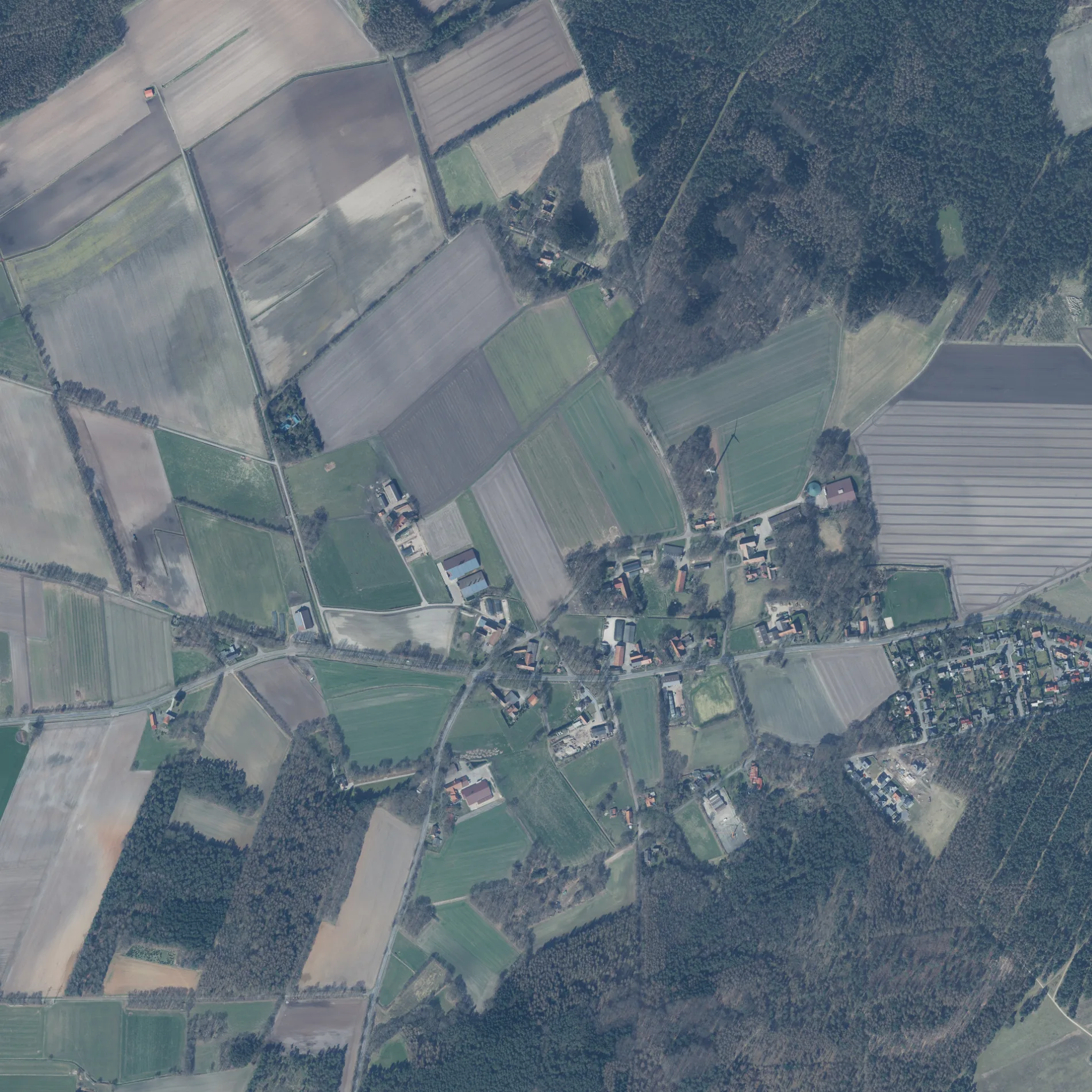
Die Hasenstraße in Wietmarschen ist eine Wohnstraße. Die nächste Bushaltestelle in der Nähe ist Glockenturm (ca. 500 m entfernt). Eine Hasenstraße gibt es auch in Landkreis Emsland, Landkreis Leer, Landkreis Cloppenburg und Landkreis Schaumburg.
- Straßentyp
- Wohnstraße
Bild
Touristeninformationen
Bushaltestellen
Museen
Ladestationen
Unterstände
Apotheken
Straßen in der Umgebung
Bergstraße800 m
Unter den BuchenAchteresch, Wanderwege in Nordlohne
850 m
Kiesbergstraße900 m
An der Lichtung1,1 km
Kampstraße1,2 km
Am Wildwechsel1,4 km
Zum NaherholungsgebietBienenlehrstand, Lohner Sand
1,6 km
Am WaldrandVogellehrstand
1,7 km
Hohnerberg1,7 km
Westring1,8 km
Rupingorter KirchwegSchutzhuette
1,9 km
NordstraßeTierpark Nordhorn, Glockenturm, Lohner Sand, Nordlohne, Siedlung
1,9 km
Achterkamp2,0 km
Hauptstraße1 Euro Grill, Achterort, Postagentur Schreibwaren Latus, Mösker, Schafweg, Grundschule, Oberschule, Volksbank Lingen eG - Filiale Lohne, Lohne (Wietmarschen) Rathaus, Pizzaria Milano, Gasthof Schnieders, Autohaus Vogt, Mode Scholz, Friseur Gossling, Kath. St.-Borromäus-Bücherei, Pizzeria Vina, Rathaus, Fahrschule Eling, Netto Marken-Discount, Eiscafé El Verano, Pizzeria El Verano, Park Apotheke, Fledderstraße, Heimathaus, Pizzeria Piccolo
2,0 km
Hollandstraße2,0 km
Friesenweg2,1 km
Westfalenstraße2,1 km
Saarländer Straße2,2 km
Mühlengraben2,2 km
Rheinlandstraße2,2 km
Holsteiner Straße2,2 km
Münsterlandstraße2,2 km
Badener Straße2,2 km
Hessenweg2,3 km
Pfälzer Weg2,3 km
Eifelweg2,3 km
Bayernweg2,3 km
Württemberger Straße2,4 km
Brunnenstraße2,4 km
Sandkuhle2,4 km
Sandstraße2,5 km
Sandstiege2,5 km
Gerhard-Hilling-Straße2,5 km
Gerhart-Hauptmann-Straße2,5 km
Ludgerusstraße2,5 km
Kurze Straße2,5 km
Niels-Stensen-Straße2,5 km
Schwartenpohler StraßeSchutzhütte Lohnerbruch
2,5 km
Alexanderstraße2,6 km
Hermann-Lange-Straße2,6 km
Dietrich-Bonhoeffer-Straße2,6 km
Wilhelm-Berning-Straße2,6 km
Püttkuhle2,6 km
Gustav-Heinemann-Straße2,6 km
Antoniusstraße2,6 km
Karl-Carstens-Straße2,7 km
 ÖPNV-Stadtplan Wietmarschen Legende
 | Bahn | |
| Bus | |
| Straßenbahn |
 Fahrradstadtplan Wietmarschen Legende
 | Radweg | |
| Fahrradspur auf der Fahrbahn | |
| Radfahren auf der Busspur | |
| Fahrradstraße | |
| Für Radfahrer frei | |
| Für Radfahrer frei, guter Weg | |
| Radfahren verboten | |
| Kopfsteinpflaster |
| Fernradweg | (je nach Maßstab) | |
| Fernradweg |
 Fußgängerstadtplan Wietmarschen Legende
 | Pfad |
| Fernwanderweg | (je nach Maßstab) | |
| Fernwanderweg | ||
| Fußgänger verboten |