
Rickelhausen in Wangerland Westrum
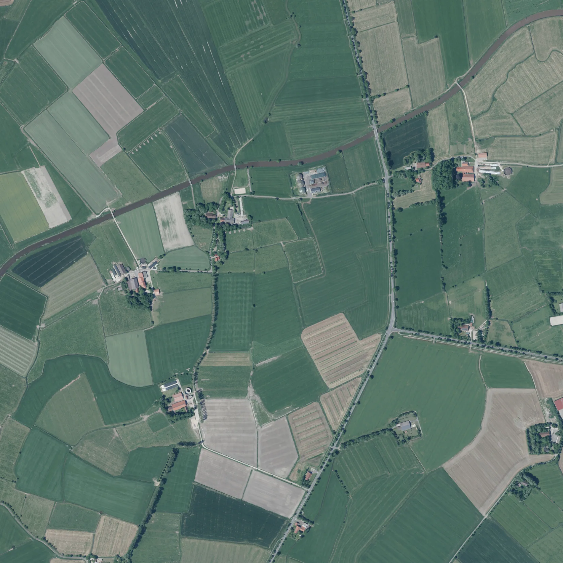
Rickelhausen in Westrum in Wangerland ist eine Nebenstraße und verläuft in Ost-West-Richtung.
- Straßentyp
- Nebenstraße
- Verlauf
- Ost-West
Bild
Bushaltestellen
Straßen in der Umgebung
Domäne Rickelhausen150 m
Jeversche Straße450 m
Holschhausen500 m
Westrum650 m
Herzhausen800 m
Oldorfer Straße800 m
Reiseburg900 m
Schreiersorter Weg900 m
Tralens1000 m
Ulfenburg1,0 km
Joostenhof1,1 km
Lübsenburg1,1 km
Stummhausen1,3 km
Gänseweg1,4 km
Drosterei1,7 km
Förriesdorf1,7 km
Waddewarder Mühle1,7 km
Westrumer Weg1,8 km
Klein Utlande1,8 km
Elmsenhausen1,8 km
Kleiburger Weg1,9 km
Birkshausen1,9 km
Gummelsburg1,9 km
Von-Thünen-Straße1,9 km
Mühlenstraße1,9 km
Tiarksstraße1,9 km
Fugels1,9 km
Kiebitzstraße2,0 km
Lerchenstraße2,0 km
Kattenser Weg2,0 km
Kattens2,0 km
Sorgenfrei2,0 km
Bentershof2,0 km
Warfer Straße2,0 km
Busenackshörner Weg2,1 km
Zissenhauser Weg2,1 km
An der Kleiburg2,1 km
Oldorfer Baum2,2 km
Oldorfer Busch2,2 km
Utlande2,2 km
Oldorfer Mühle2,3 km
Klein Zissenhausen2,3 km
Neu Utlande2,3 km
Zissenhausen2,4 km
Ferienhäuser in der Umgebung
Haus Wangerland1,9 km
Flüsse in der Umgebung
Utlander Leide1,5 km
Crildumer Tief2,2 km
Gotteshäuser in der Umgebung
St. Elisabeth650 m
Kanäle in der Umgebung
Tettenser Tief2,5 km
ÖPNV-Stadtplan Westrum Legende
| Bahn | |
| Bus | |
| Straßenbahn |
Fahrradstadtplan Westrum Legende
| Radweg | |
| Fahrradspur auf der Fahrbahn | |
| Radfahren auf der Busspur | |
| Fahrradstraße | |
| Für Radfahrer frei | |
| Für Radfahrer frei, guter Weg | |
| Radfahren verboten | |
| Kopfsteinpflaster |
| Fernradweg | (je nach Maßstab) | |
| Fernradweg |
Fußgängerstadtplan Westrum Legende
| Pfad |
| Fernwanderweg | (je nach Maßstab) | |
| Fernwanderweg | ||
| Fußgänger verboten |