
Nauens in Wangerland
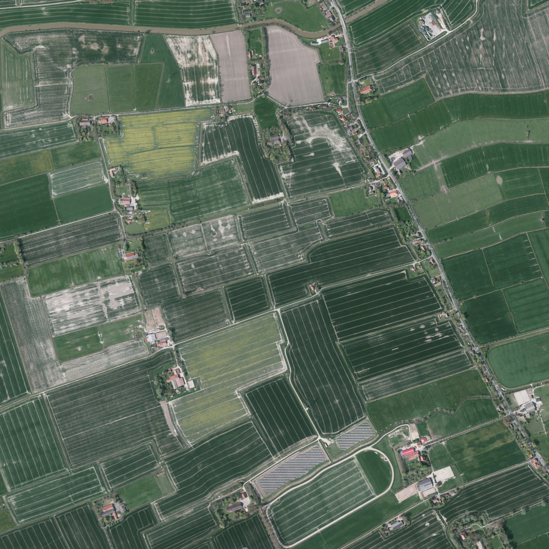
Nauens in Wangerland ist ein Feldweg.
- Straßentyp
- Feldweg
Bild
Hotels
Bibliotheken
Hofläden
Straßen in der Umgebung
Nauenser WegWüppelser Altendeich
50 m
ObenhausenObenhausen
500 m
OldeborgOldeburg
500 m
Groß PopkenhausenGroß Popkenhausen
550 m
BonnhausenBonnhausen
550 m
Krummhörn950 m
Bottenser StraßeWüppels, Bottens
950 m
Bei Wüppels950 m
Krummhörner Straße950 m
St. Jooster Mühle1000 m
PopkenwegZum Alten Krug
1000 m
Lauenstede1000 m
OesterdiekenOesterdieken
1,0 km
Klein Lauenstede1,0 km
Wüppelser AltendeichKrummhörner Str., Wüppelser Altendeich, Traberhof, Bücher-Zelle, Lauenstede, Nauenser Weg
1,1 km
FischhausenKlein Oesterdieken, Fischhausen
1,1 km
Klein Oesterdieken1,2 km
Gammens1,3 km
AltebrückeAltebrücke, Landhaus Altebrücke
1,3 km
WayensWayens
1,4 km
Tammhausener StraßeTammhausen, Scherrei
1,4 km
St. JoostSt. Joost, Rittershausen
1,4 km
Burg FischhausenBurg Fischhausen, Wüppelser Altendeich
1,5 km
Depenhausen/Wüppels1,6 km
OldewarfenOldewarfen
1,7 km
St. Jooster AltendeichAltebrücke, Ritterhausen
1,8 km
Lilienhof1,8 km
MaisiddenMaisidden, Aukens
1,9 km
SchmidtshörnSchmidtshörn
1,9 km
Feineburger Weg2,0 km
Kattentorn2,1 km
Hohensminde2,1 km
MaihausenBottens
2,2 km
Kaiserei2,2 km
WangerstraßeKaiserei, Hohensminde, Wiarden, Freiwillige Feuerwehr Wiarden, Aukenser Kirchpatt, Groß Rhaude
2,2 km
Feineburg2,4 km
Klein AukensKlein Aukens
2,5 km
Groß AukensGroß Aukens
2,5 km
Abläufe in der Umgebung
Wüppelser Tief750 m
Bauernhöfe in der Umgebung
Neuwerk1,5 km
Hillershausen1,5 km
Bottens2,1 km
Bäche in der Umgebung
Bübbenser Tief1,7 km
Flüsse in der Umgebung
Hohenstief1,3 km
Gebäude in der Umgebung
Rettungswache Wangerland2,1 km
Gotteshäuser in der Umgebung
Ev.-luth. Kirche Wüppels1,1 km
St.-Jodocus-Kirche1,3 km
Hotels in der Umgebung
Gulfhof Garlichs1,0 km
Pensionen in der Umgebung
Traberhof Hooksiel1,4 km
 ÖPNV-Stadtplan Wangerland Legende
 | Bahn | |
| Bus | |
| Straßenbahn |
 Fahrradstadtplan Wangerland Legende
 | Radweg | |
| Fahrradspur auf der Fahrbahn | |
| Radfahren auf der Busspur | |
| Fahrradstraße | |
| Für Radfahrer frei | |
| Für Radfahrer frei, guter Weg | |
| Radfahren verboten | |
| Kopfsteinpflaster |
| Fernradweg | (je nach Maßstab) | |
| Fernradweg |
 Fußgängerstadtplan Wangerland Legende
 | Pfad |
| Fernwanderweg | (je nach Maßstab) | |
| Fernwanderweg | ||
| Fußgänger verboten |