
In't Vörwarker Land in Schortens
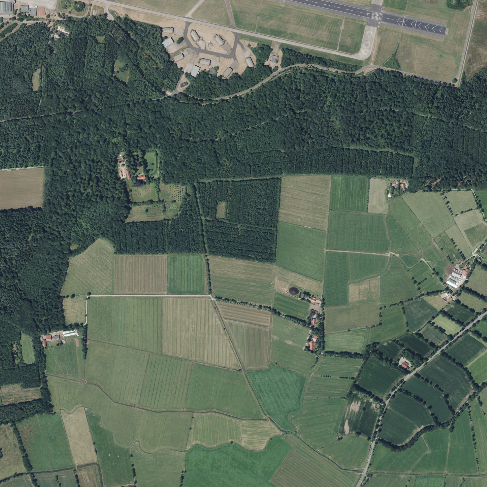
In't Vörwarker Land in Schortens ist eine asphaltierte nicht klassifizierte Straße. In't Vörwarker Land verläuft in Südost-Nordwest-Richtung von der Krongutsallee kommend und kreuzt den Wildkamp und die Schooster Straße. Diese Straße ist Teil von Fahrradroute „40-68 🔗".
- Straßentyp
- nicht klassifizierte Straße
- Verlauf
- Südost-Nordwest
Bild
Bushaltestellen
Straßen in der Umgebung
Wildkamp550 m
FrieslandstraßeDose, Frieslandstraße, Fleu
1,1 km
Lopsumer Straße1,1 km
Kohltun1,4 km
Alter WegSchoost
1,4 km
Schooster StraßeSchoost, Dorfkrug/NACHTSCHICHT, Hohehorst
1,4 km
Ginsterweg1,4 km
KrongutsalleeZum Forsthaus Upjever, Liebichs Ruh
1,4 km
Hilmersburg1,8 km
Hilmersburger Weg1,9 km
Am SpiekerkrogDose, Gaststätte, Lopsum
1,9 km
Langstraßer WegTrafo, Schule, Langstraße
1,9 km
Groothelmt2,0 km
Kloster Landweg2,0 km
LeegenwegDose, Gaststätte
2,1 km
Dorber Weg2,1 km
Klosterallee2,1 km
Abickhafer Feldweg2,2 km
Brandallee2,2 km
Klusweg2,2 km
Jeversche Allee2,3 km
Am alten Fliegerhorst2,5 km
Falkenweg2,5 km
Reiherweg2,6 km
Zum Upjever Forst2,6 km
Am Torfmeer2,6 km
WaldstraßeDer Stadtfriseur
2,6 km
Am Wald2,7 km
Zu den Krickmeeren2,7 km
Rehpfad2,7 km
Upjeversche StraßeZum Upjever Forst, Flugplatz
2,7 km
Jägerpfad2,8 km
Lebensborner WegOestringfelde
2,8 km
Addernhauser Straße2,8 km
Hasenweide2,8 km
Addernhausener StraßeAddernhausen, Grüner Wald, Waldschlößchen, Siedlung
2,9 km
Emil-Martsfeld-Straße2,9 km
Bäche in der Umgebung
Emder Tief1,4 km
Upjeversches Tief1,6 km
Einrichtungen in der Umgebung
Physiotherapie am Walde2,9 km
Feuchtgebiete in der Umgebung
Sumpfmoor Dose1,9 km
Gebäude in der Umgebung
Revierförsterei Upjever550 m
Scheune600 m
Gattersäge600 m
Thunder Rebs1,3 km
MC Gremium Jever1,3 km
Gewässer in der Umgebung
Graft550 m
Restaurants in der Umgebung
Waldschlößchen2,8 km
Sportplätze in der Umgebung
Sportplatz am Klosterpark2,5 km
 ÖPNV-Stadtplan Schortens Legende
 | Bahn | |
| Bus | |
| Straßenbahn |
 Fahrradstadtplan Schortens Legende
 | Radweg | |
| Fahrradspur auf der Fahrbahn | |
| Radfahren auf der Busspur | |
| Fahrradstraße | |
| Für Radfahrer frei | |
| Für Radfahrer frei, guter Weg | |
| Radfahren verboten | |
| Kopfsteinpflaster |
| Fernradweg | (je nach Maßstab) | |
| Fernradweg |
 Fußgängerstadtplan Schortens Legende
 | Pfad |
| Fernwanderweg | (je nach Maßstab) | |
| Fernwanderweg | ||
| Fußgänger verboten |