
Gewerbering in Rastdorf
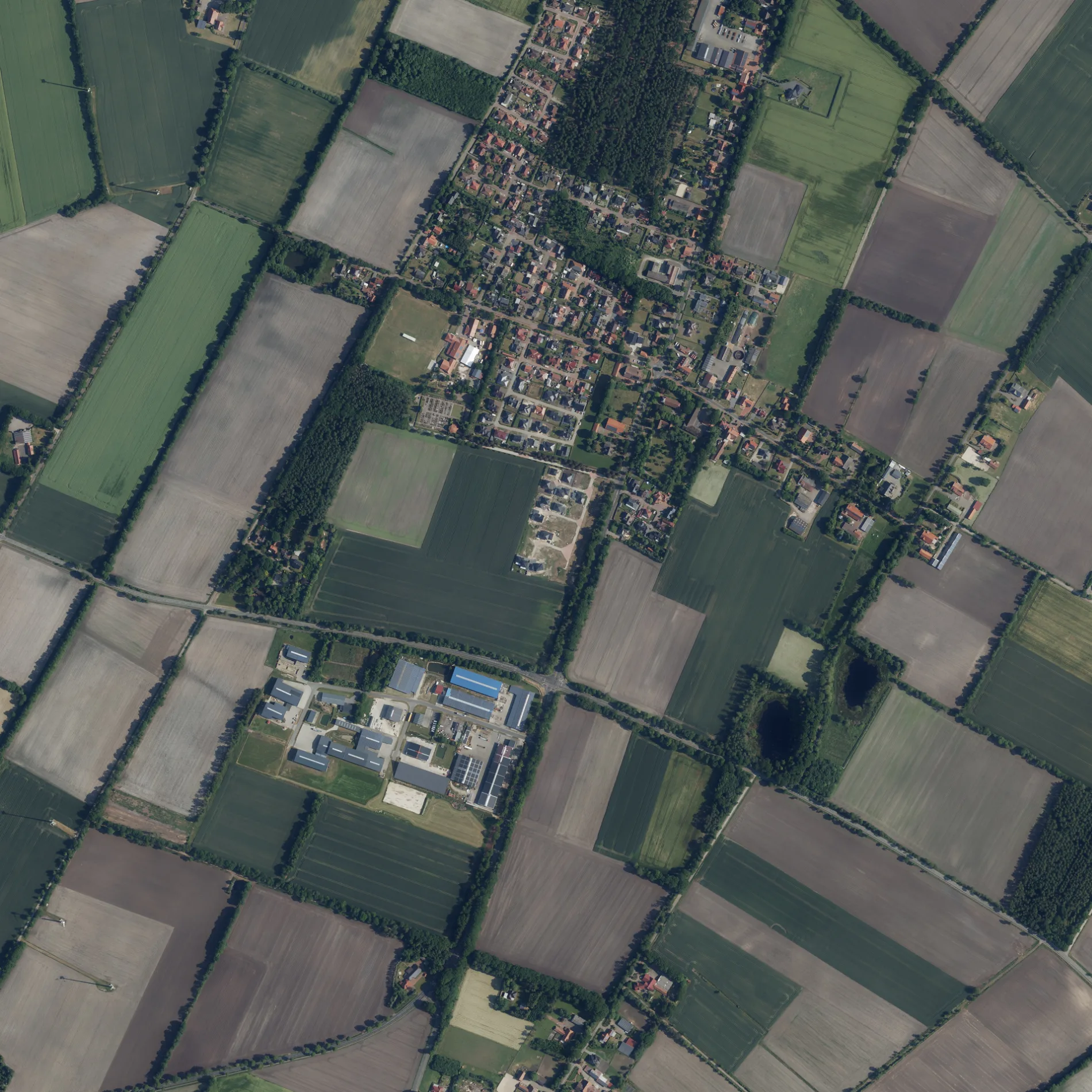
Der Gewerbering in Rastdorf ist eine nicht klassifizierte Straße. In der Umgebung befindet sich ein Schnellrestaurant. Die nächste Bushaltestelle in der Nähe ist Kirche (ca. 700 m entfernt).
- Straßentyp
- nicht klassifizierte Straße
Bild
Schnellrestaurants
Straßen in der Umgebung
HauptstraßeRastdorf, Hümmlinger Volksbank, Tante Enso Rastdorf, Kirche
300 m
Gewerbepark300 m
Eichenweg450 m
Mühlenweg450 m
Magazin500 m
Dillenfeld500 m
Wahner Weg600 m
Werlter Straße600 m
Friedhofsweg600 m
Am Kirchwald600 m
KreuzwegKath. öffentliche Bibliothek
650 m
In't Dörp700 m
Am SportplatzGemeinde Rastdorf
800 m
BirkenalleeGaststätte Konnemann, Salon Kamm In, Pension Familie Berens
800 m
Gartenstraße800 m
Nord-Süd-StraßeArtur Brak Kfz-Meisterbetrieb
850 m
Rotdornweg850 m
Ringstraße900 m
Am Wäldchen900 m
Im ErlengrundBäckerei & Konditorei Siemer
1000 m
Tannenweg1000 m
Fichtenweg1,1 km
Omorikenweg1,2 km
Buchenweg1,2 km
Auf dem Berg1,5 km
Rastdorfer StraßeGeschnitzte Eule, Helo GmbH & Co. KG, Zaunteam Emsland
1,5 km
Zum Grillplatz1,6 km
Boenfelde1,6 km
Glümmel1,6 km
Nordstraße1,7 km
Südstraße1,7 km
Zu den Hünensteinen1,7 km
Schlenkenweg1,7 km
Gewerbeweg2,0 km
Am Feuerwachturm2,0 km
Alter Werlter Weg2,1 km
Abläufe in der Umgebung
Delschloot1,9 km
Backhäuser in der Umgebung
Backhaus und Wahner Zimmer700 m
Friedhöfe in der Umgebung
Rastdorfer Friedhof600 m
Gebäude in der Umgebung
Wagenremise700 m
Gemeinschaftszentren in der Umgebung
Heimathaus Rastdorf700 m
Jugendheim750 m
Gewässer in der Umgebung
Berens Poul700 m
Gotteshäuser in der Umgebung
Friedhofskapelle550 m
St. Marien750 m
Gräben in der Umgebung
Rittveengraben1,6 km
Naturschutzgebiete in der Umgebung
Schlankes Dillenfeld, Teich750 m
Schlankes Dillenfeld;Feuchte Senke südlich Rastdorf900 m
Sporthallen in der Umgebung
Turnhalle Rastdorf650 m
 ÖPNV-Stadtplan Rastdorf Legende
 | Bahn | |
| Bus | |
| Straßenbahn |
 Fahrradstadtplan Rastdorf Legende
 | Radweg | |
| Fahrradspur auf der Fahrbahn | |
| Radfahren auf der Busspur | |
| Fahrradstraße | |
| Für Radfahrer frei | |
| Für Radfahrer frei, guter Weg | |
| Radfahren verboten | |
| Kopfsteinpflaster |
| Fernradweg | (je nach Maßstab) | |
| Fernradweg |
 Fußgängerstadtplan Rastdorf Legende
 | Pfad |
| Fernwanderweg | (je nach Maßstab) | |
| Fernwanderweg | ||
| Fußgänger verboten |