
Eschstraße in Stavern
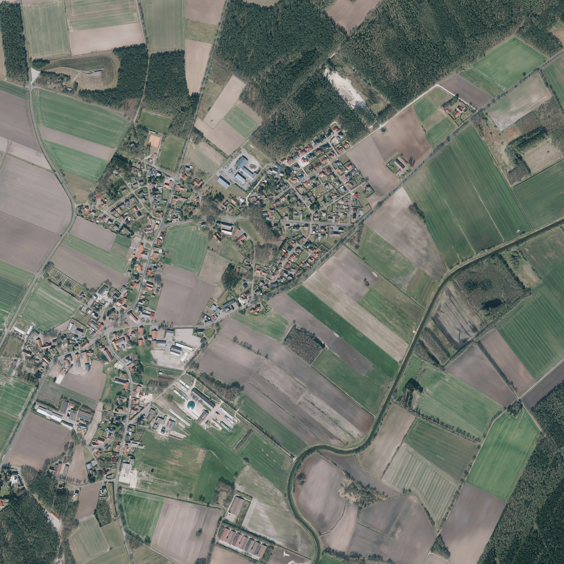
Die Eschstraße in Stavern ist eine Wohnstraße. Die nächste Haltestelle in der Nähe ist Kirche (ca. 250 m entfernt). Eine Eschstraße gibt es auch in Börger und Klein Berßen.
- Straßentyp
- Wohnstraße
- Postleitzahl
- 49777
Bild
Kioske
Bushaltestellen
Straßen in der Umgebung
Hinterstraße150 m
SchulstraßeGrundschule Stavern
350 m
Schützenstraße400 m
Ringstraße450 m
KirchstraßeSankt Michael, Volksbank, Staverner Dorfladen
450 m
Lange StraßeSchützenstraße, Kirche
500 m
Raddegrund550 m
Sögeler StraßeModehaus Mönster, Egels, Hundepension Emsland, Stavern, Kirche, Düttmann
550 m
Amselweg650 m
Fasanenweg700 m
Am Berg750 m
Kreuzstraße950 m
Kiesbergstraße950 m
MühlenstraßeBruneforth, Kirche, Mühlenstraße
950 m
Schlagbrückener Weg950 m
Buchenweg1000 m
Eichenweg1000 m
Erlenweg1,1 km
Krokusweg1,1 km
Nelkenweg1,2 km
Fliederweg1,2 km
Dahlienweg1,2 km
HoltbergDüttmann, Holtberg
1,2 km
Rosenweg1,3 km
Irisweg1,3 km
Tulpenweg1,4 km
Alter Sögeler Weg1,4 km
Bruneforth1,6 km
Berßener StraßeBruneforth
1,6 km
Am alten Sportplatz1,7 km
Staverner Straße1,7 km
Dükerstraße1,7 km
Am Neuen Grund1,7 km
WiesenstraßeMansenberge
1,8 km
Am SteinbergRode
1,8 km
Flüsse in der Umgebung
Nordradde1,5 km
Friedhöfe in der Umgebung
Friedhof Stavern350 m
Gemischtwarenläden in der Umgebung
Wotte200 m
Gotteshäuser in der Umgebung
St. Michael400 m
Hotels in der Umgebung
Gasthof Gerdes450 m
Rathäuser in der Umgebung
Gemeinde Stavern450 m
Restaurants in der Umgebung
Altes Gasthaus Krange300 m
Sehenswürdigkeiten in der Umgebung
Wassermühle Bruneforth1,6 km
Sportzentren in der Umgebung
Haus der Vereine550 m
Veranstaltungszentren in der Umgebung
Weidenkirche Bruneforth1,7 km
Wohngebiete in der Umgebung
Stavern600 m
Wälder in der Umgebung
Hessel Tannen600 m
Hartekamps Tannen1,2 km
Dünentannen2,0 km
 ÖPNV-Stadtplan Stavern Legende
 | Bahn | |
| Bus | |
| Straßenbahn |
 Fahrradstadtplan Stavern Legende
 | Radweg | |
| Fahrradspur auf der Fahrbahn | |
| Radfahren auf der Busspur | |
| Fahrradstraße | |
| Für Radfahrer frei | |
| Für Radfahrer frei, guter Weg | |
| Radfahren verboten | |
| Kopfsteinpflaster |
| Fernradweg | (je nach Maßstab) | |
| Fernradweg |
 Fußgängerstadtplan Stavern Legende
 | Pfad |
| Fernwanderweg | (je nach Maßstab) | |
| Fernwanderweg | ||
| Fußgänger verboten |