
Unterm Uhlenberg in Gersten
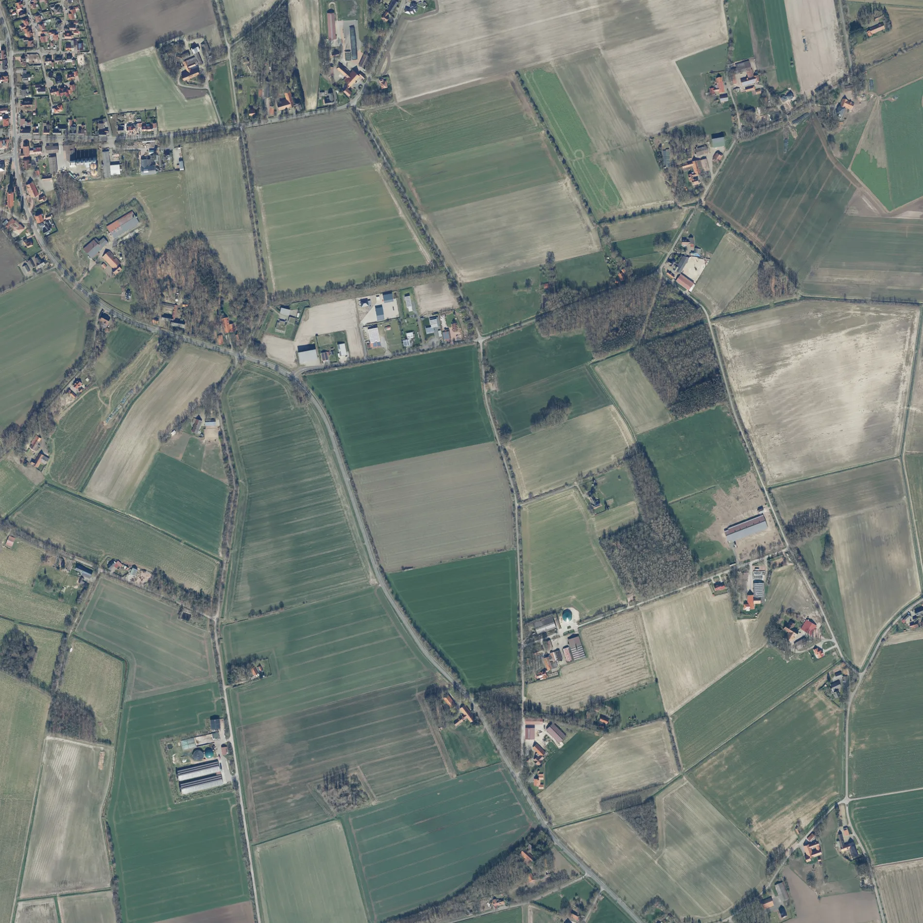
Der Unterm Uhlenberg in Gersten ist eine nicht klassifizierte Straße.
- Straßentyp
- nicht klassifizierte Straße
Bild
Bäckereien
Straßen in der Umgebung
Im Schulbruch500 m
Am Settel650 m
Lengericher Straße700 m
Zum Sopenhoek800 m
Gewerbegebiet900 m
KirchstraßeGersten, Volksbank
1000 m
Gerstener StraßeVölkernhoek
1,0 km
Bahnhofstraße1,1 km
Zum Weh1,2 km
Windmühlenstraße1,2 km
Zum HolteschWetterschutzhütte Sopenhoek
1,2 km
Eichenweg1,2 km
Untergerstener Straße1,2 km
An der Mühle1,2 km
Hardenkamp1,2 km
Am Völkerring1,3 km
Am Neerberger Hook1,3 km
Bergerkamp1,3 km
Am Sportplatz1,3 km
Bregenbecker StraßeBregenbeck
1,3 km
Holunderweg1,3 km
Zum Fischteich1,4 km
Langener StraßeGrundschule
1,4 km
Buchenweg1,5 km
Abläufe in der Umgebung
Faller-Moor-Graben1,3 km
Banken in der Umgebung
Volksbank Lingen eG - Filiale Gersten1,2 km
Bauernhöfe in der Umgebung
Beestermöller650 m
Weber650 m
Kartmann700 m
Geers-Uhlen1,1 km
Kallimann1,2 km
Determann1,4 km
Bäckereien in der Umgebung
Bäckerei Lüttel1,2 km
Feuerwachen in der Umgebung
Feuerwehr Gersten1,1 km
Gebäude in der Umgebung
Pferdestall450 m
Scheune700 m
Heimatverein1,0 km
Gewerbegebiete in der Umgebung
Gewerbegebiet L66950 m
Raiffeisenagrar1,0 km
Gewürzläden in der Umgebung
Pikantum KG700 m
Gotteshäuser in der Umgebung
Herz Jesu1,0 km
Kirchen in der Umgebung
Pfarrhaus950 m
Kneipen in der Umgebung
Gasthof Lindemann1,0 km
Helmut's Kneipe1,2 km
Lagerhäuser in der Umgebung
Alibihalle650 m
Naturschutzgebiete in der Umgebung
Faller Moor1,3 km
Sportzentren in der Umgebung
Turnhalle1,2 km
Sonstiges in der Umgebung
Anwesen Kohne (Kein Gewerbe)650 m
Dorfplatz1000 m
 ÖPNV-Stadtplan Gersten Legende
 | Bahn | |
| Bus | |
| Straßenbahn |
 Fahrradstadtplan Gersten Legende
 | Radweg | |
| Fahrradspur auf der Fahrbahn | |
| Radfahren auf der Busspur | |
| Fahrradstraße | |
| Für Radfahrer frei | |
| Für Radfahrer frei, guter Weg | |
| Radfahren verboten | |
| Kopfsteinpflaster |
| Fernradweg | (je nach Maßstab) | |
| Fernradweg |
 Fußgängerstadtplan Gersten Legende
 | Pfad |
| Fernwanderweg | (je nach Maßstab) | |
| Fernwanderweg | ||
| Fußgänger verboten |