
Frengenstraße in Dohren
Die Frengenstraße in Dohren ist eine nicht klassifizierte Straße. Sie verläuft in Südost-Nordwest-Richtung und endet am Kreuzdamm.
- Straßentyp
- nicht klassifizierte Straße
- Verlauf
- Südost-Nordwest
Bild
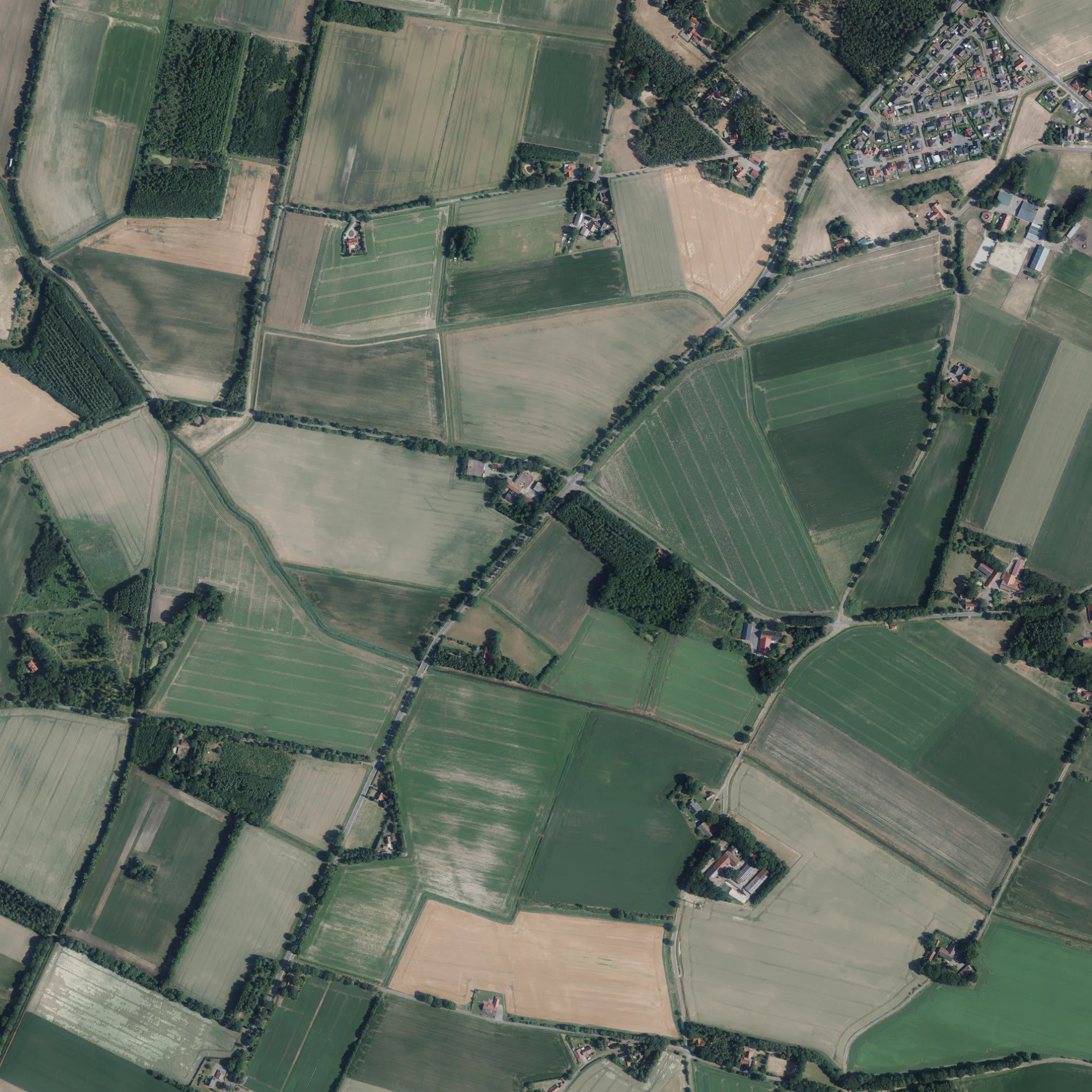
Pensionen
Bäckereien
Ferienwohnungen
Straßen in der Umgebung
Lager Straße600 m
Neuer Grund950 m
Eichenstraße1,1 km
MittelstraßeZur Alten Molkerei
1,2 km
Dohrener Straße1,3 km
Lieninghagen1,4 km
Elsterfehn1,4 km
Brookstraße1,5 km
Fürstenauer Straße1,6 km
Steinkreuzstraße1,6 km
Kreuzdamm1,6 km
Merschweg1,7 km
Brokkamp1,7 km
Hohe Fehn1,7 km
Mühlenweg1,9 km
Eckelpool1,9 km
Wellenstraße1,9 km
Zum FeldTransformator
2,0 km
Rotdornweg2,0 km
SchützenstraßeAndruper Feld
2,1 km
Diekfehn2,1 km
Gerstener Straße2,1 km
Poststraße2,2 km
Fliederstraße2,2 km
Grafelder Straße2,2 km
Rosenstraße2,2 km
Jagdweg2,2 km
Grüner Weg2,3 km
MoorstraßeFerienwohnungen "Am Hahnenmoor"
2,3 km
Mittelkamp2,3 km
DorfstraßeLehmkuhle, Kindergarten Wunderland Dohren
2,3 km
Am Schützenplatz2,4 km
Wettruper Straße2,4 km
HauptstraßeDohren, Bäckerei Meyners
2,4 km
Buschhofweg2,5 km
Waidmannsweg2,6 km
Zum Steinernen Kreuz2,6 km
Untergerstener Straße2,6 km
Niemanns Weg2,7 km
Oldenwall2,7 km
Barlage2,8 km
Querdamm2,8 km
Bäche in der Umgebung
Lager Bach550 m
Welle950 m
Gotteshäuser in der Umgebung
St. Bernardus2,4 km
Gräben in der Umgebung
Hochwasserentlastungsgraben550 m
Ziegeleigraben1,1 km
Moorabzug II1,7 km
Moorabzug III2,3 km
 ÖPNV-Stadtplan Dohren Legende
 | Bahn | |
| Bus | |
| Straßenbahn |
 Fahrradstadtplan Dohren Legende
 | Radweg | |
| Fahrradspur auf der Fahrbahn | |
| Radfahren auf der Busspur | |
| Fahrradstraße | |
| Für Radfahrer frei | |
| Für Radfahrer frei, guter Weg | |
| Radfahren verboten | |
| Kopfsteinpflaster |
| Fernradweg | (je nach Maßstab) | |
| Fernradweg |
 Fußgängerstadtplan Dohren Legende
 | Pfad |
| Fernwanderweg | (je nach Maßstab) | |
| Fernwanderweg | ||
| Fußgänger verboten |