
Fillerberg in Dohren
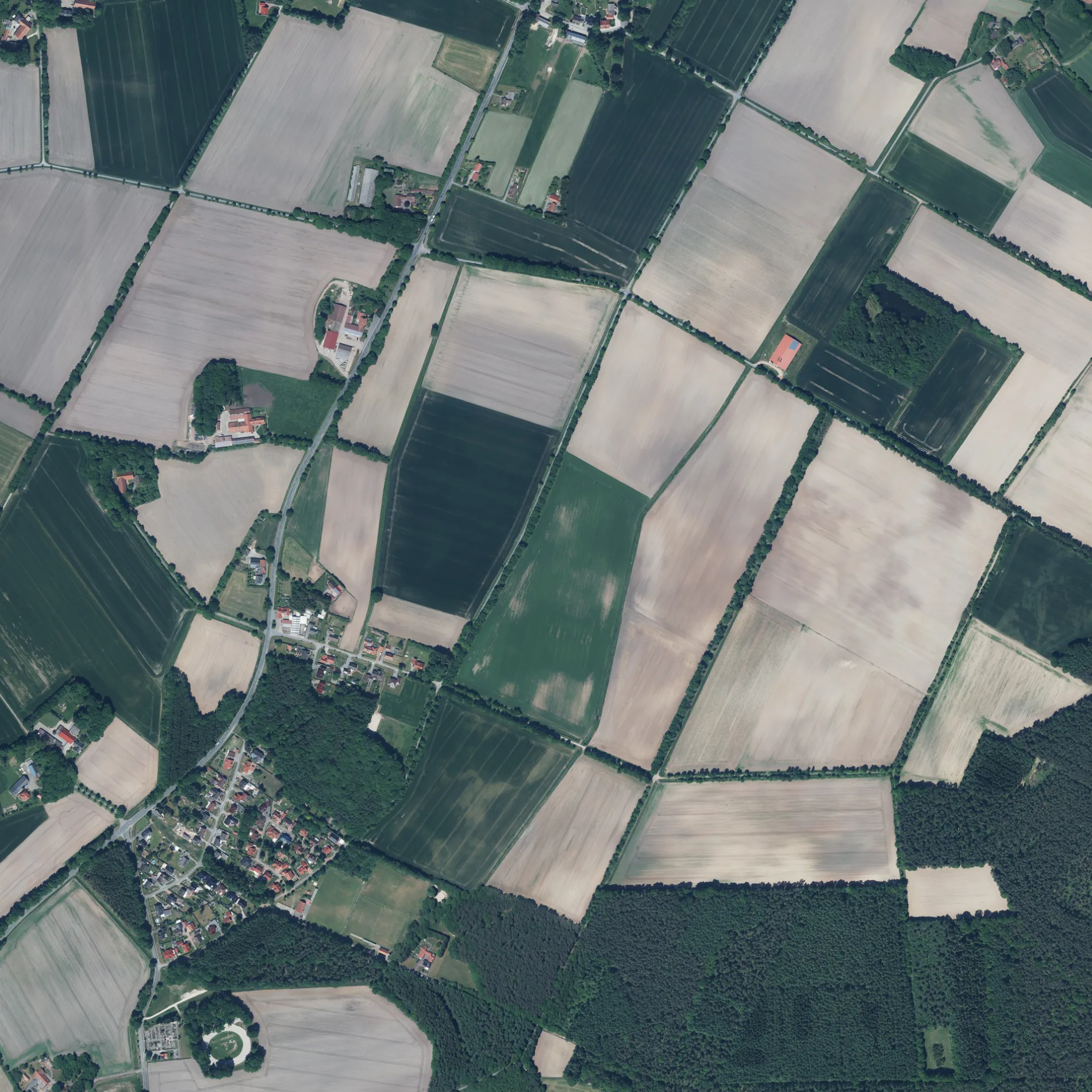
Der Fillerberg in Dohren ist ein asphaltierter Feldweg.
- Straßentyp
- Feldweg
Bild
Bushaltestellen
Kindergärten
Ferienwohnungen
Straßen in der Umgebung
Am Felde250 m
Herzlaker Straße250 m
Waldstraße300 m
Im Eichengrund450 m
Kiefernweg450 m
HauptstraßeDohren, Bäckerei Meyners
500 m
Ziegeleiweg600 m
Am Feldkamp650 m
Dohrener StraßeIQ-Jagd Hochsitze, Frischfleisch für Hunde & Katzen, Felsenkrug Gaststätte
800 m
Finkenweg850 m
Am Sportplatz850 m
Eichenring850 m
Vohrenkamp950 m
Andruper Straße1,0 km
Eschstraße1,0 km
Rosenstraße1,1 km
Dachsweg1,1 km
Hülshauk1,2 km
Fuchsweg1,2 km
Marderweg1,2 km
Burgstraße1,2 km
Fliederstraße1,2 km
Kolpingstraße1,2 km
Poststraße1,3 km
Ziegeleistraße1,3 km
Diekfehn1,3 km
Am Esch1,3 km
Rotdornweg1,4 km
Kammeringer Esch1,4 km
Schulstraße1,4 km
Birkenfeld1,4 km
Auf der Landwehr1,5 km
Alter Garten1,5 km
Kampweg1,5 km
Am Wasserwerk1,5 km
Moorkamp1,5 km
Mühlenweg1,6 km
Am Schützenplatz1,6 km
Birnenweg1,6 km
Unterm Bookhof1,6 km
Auf der Ahe1,6 km
DorfstraßeLehmkuhle, Kindergarten Wunderland Dohren
1,7 km
Auf dem Strohe1,7 km
Kreuzdamm1,8 km
Gebäude in der Umgebung
Hegge GmbH200 m
Katholische Volksschule1,2 km
Gotteshäuser in der Umgebung
St. Bernardus1,2 km
Gräben in der Umgebung
Ziegeleigraben750 m
Wohngebiete in der Umgebung
Neuenlande1,2 km
 ÖPNV-Stadtplan Dohren Legende
 | Bahn | |
| Bus | |
| Straßenbahn |
 Fahrradstadtplan Dohren Legende
 | Radweg | |
| Fahrradspur auf der Fahrbahn | |
| Radfahren auf der Busspur | |
| Fahrradstraße | |
| Für Radfahrer frei | |
| Für Radfahrer frei, guter Weg | |
| Radfahren verboten | |
| Kopfsteinpflaster |
| Fernradweg | (je nach Maßstab) | |
| Fernradweg |
 Fußgängerstadtplan Dohren Legende
 | Pfad |
| Fernwanderweg | (je nach Maßstab) | |
| Fernwanderweg | ||
| Fußgänger verboten |