
Landwehrweg in Twistringen Altenmarhorst
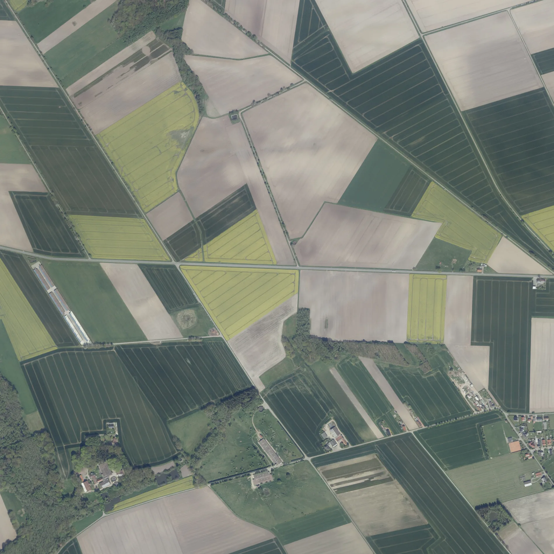
Der Landwehrweg in Twistringen ist ein Feldweg (befestigter Weg). Er verläuft in Ost-West-Richtung und endet an der Straße Zur Dehmse, während das andere Ende eine Sackgasse ist.
- Straßentyp
- Feldweg
- Verlauf
- Ost-West
Bild
Bahnsteige
Bushaltestellen
Straßen in der Umgebung
Zur Dehmse400 m
GlittenTwistringer Erlebnisroute Archäologie
1,3 km
Siedlung1,4 km
Katenbäker Weg1,4 km
Am Tennisplatz1,5 km
Winkelweg1,6 km
Heidestraße1,6 km
Am Kirchpark1,7 km
Im Grund1,7 km
Am Rieder See1,8 km
Rabbenmoor1,8 km
Lerchenweg1,8 km
Immenstraße1,8 km
Am Felde1,9 km
Wildeshäuser Weg1,9 km
Zu den Linden1,9 km
Im Knick2,0 km
Kastanienweg2,1 km
Wiesengrund2,1 km
Bramenbusch2,2 km
Am Alten Garten2,2 km
MarienstraßeGasthaus Lüllmann, Brückenradweg, Winkelweg, Post Meyer, Lehmkuhl
2,2 km
Eichenweg2,3 km
Neuenmarhorster StraßeNeuenmarhorst
2,3 km
Am Berg2,3 km
Am Goldberg2,3 km
Heckenweg2,4 km
Steinriede2,4 km
Colnrader Straße2,5 km
Twistringer StraßeHoltorf, Telefonzelle
2,6 km
Zur Ellernbäke2,6 km
Marhorster Damm2,6 km
LehmbuschTwistringer Erlebnisroute Archäologie
2,7 km
Buschheide2,8 km
An der HenckemühleTwistringer Erlebnisroute Archäologie
2,9 km
HeiligenlohTwistringer Erlebnisroute Archäologie
3,2 km
Ackerland in der Umgebung
Maiwildacker2,4 km
Bäche in der Umgebung
Natenstedter Beeke2,0 km
Katenbäke2,4 km
Natenstedter Bach2,4 km
Holtorfer Bach3,0 km
Feuerwachen in der Umgebung
Freiwillige Feuerwehr Marhorst1,6 km
Gotteshäuser in der Umgebung
St. Marien Marhorst1,7 km
Gräben in der Umgebung
Ellerhorster Bach550 m
Ellenhorster Bach1,7 km
Riedegraben-Bissenhausen2,6 km
Röper Graben3,1 km
Parks in der Umgebung
Dorfplatz1,3 km
Transformatorenstationen in der Umgebung
Trafoturm Ellerchenhausen1,3 km
 ÖPNV-Stadtplan Altenmarhorst Legende
 | Bahn | |
| Bus | |
| Straßenbahn |
 Fahrradstadtplan Altenmarhorst Legende
 | Radweg | |
| Fahrradspur auf der Fahrbahn | |
| Radfahren auf der Busspur | |
| Fahrradstraße | |
| Für Radfahrer frei | |
| Für Radfahrer frei, guter Weg | |
| Radfahren verboten | |
| Kopfsteinpflaster |
| Fernradweg | (je nach Maßstab) | |
| Fernradweg |
 Fußgängerstadtplan Altenmarhorst Legende
 | Pfad |
| Fernwanderweg | (je nach Maßstab) | |
| Fernwanderweg | ||
| Fußgänger verboten |