
Zum Tegeler in Syke Ristedt
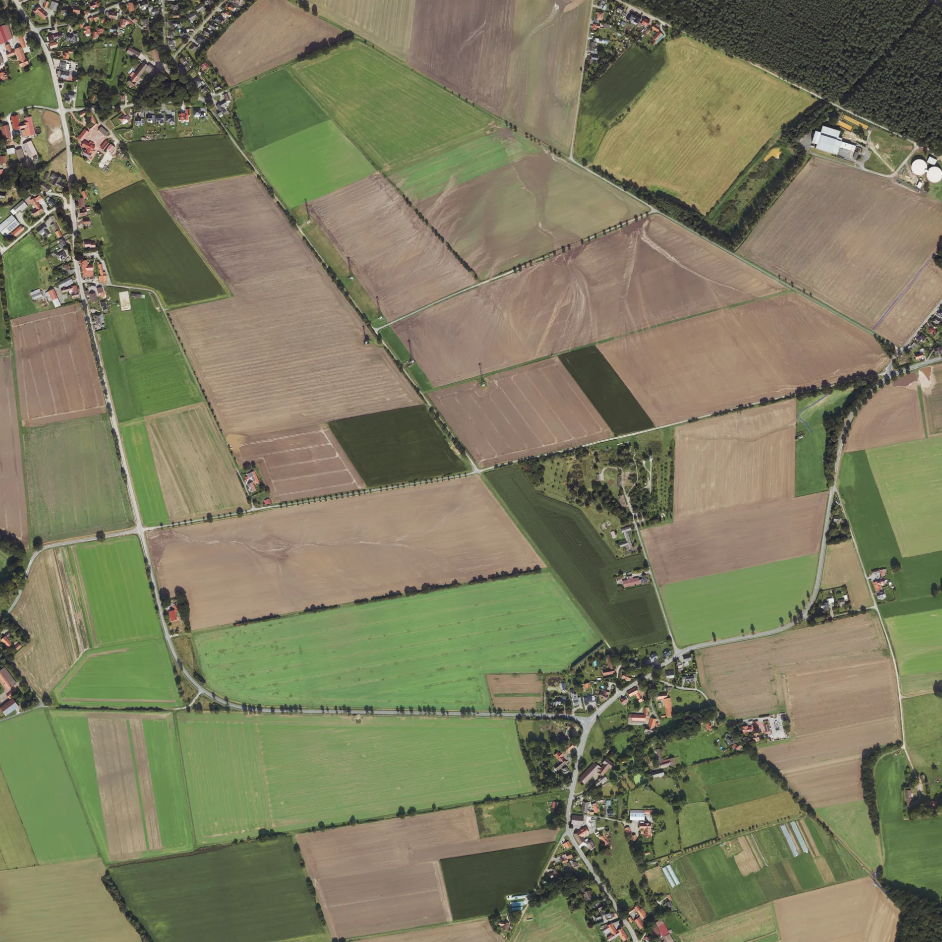
Zum Tegeler in Syke ist eine asphaltierte nicht klassifizierte Straße. Zum Tegeler verläuft in Ost-West-Richtung von der Sörhausener Straße kommend und kreuzt die Ristedter Hauptstraße und endet an der Straße Zum Hesternlande. Die nächste Bushaltestelle in der Nähe ist Sörhauser Straße (ca. 250 m entfernt). Diese Straße liegt an der Wanderweg „Jakobsweg via Baltica, Niedersachsen (Mitte)" sowie den Fahrradrouten Rundweg Syke 🔗 und 8-28 🔗.
- Straßentyp
- nicht klassifizierte Straße
- Verlauf
- Ost-West
Bild
Bushaltestellen
Straßen in der Umgebung
Zum Hesternlande500 m
Ristedter HauptstraßeEggers, Hauptstraße, Ristedt, Sörhauser Straße, Ristedt Hauptstraße
650 m
Achtern Hoff750 m
Heckenweg800 m
Alte Schulstraße800 m
Zum Hohen Berg850 m
MeyerskampAbzweig
850 m
Leerßer StraßeLeerßen, Abzweig
900 m
Zum Brink900 m
Hohe Bergstraße950 m
Pohlstraße950 m
Lürsweg950 m
Am Hoskamp950 m
Auf den KuhlenAuf den Kuhlen, Katrins Hofbude
1000 m
Kammannsweg1000 m
Holunderwinkel1000 m
Sörhauser Kämpe1000 m
Am Heidberg1,0 km
Papensteg1,0 km
An den Alten Eichen1,0 km
Windmühlenstraße1,0 km
Sörhausener StraßeAuf den Kuhlen, Sörhauser Straße, Geestweg, Rundweg Syke, Sörhausen Ort, Sörhausen, Ort, Sörhausen
1,0 km
Bleeken Kämpe1,1 km
Unter der Windmühle1,1 km
Am Hülsenberg1,1 km
Pappelweg1,1 km
Rhombergstraße1,1 km
Zum Krummen Schneider1,1 km
Lärchenreihe1,2 km
Am Lendengraben1,2 km
Tannenhain1,2 km
Feuerwehrstraße1,2 km
Birkenau1,2 km
Ristedter KämpeKindertagesstätte Ristedter Rübchen
1,3 km
Blohmbergstraße1,3 km
Unter LeerßenGeestweg
1,3 km
GeorginenstraßeSB-Station
1,4 km
HandelswegGessel, Elsternkamp, Handelsweg, Elsternkamp
1,4 km
Am SpreekenGoldhortweg, Gessel
1,4 km
Scheunenbrink1,4 km
Richtweg1,4 km
SandstraßeDer krumme Schneider
1,4 km
Zum Kiehnkenberg1,5 km
Wasserwerkstraße1,5 km
Am Wasserwerk1,5 km
Gebäude in der Umgebung
Ehemaliges Feuerwehrhaus Ristedt1,2 km
Gemeinschaftszentren in der Umgebung
Vereinsheim TSV Ristedt750 m
Spielplätze in der Umgebung
Abenteuerspielplatz850 m
Wälder in der Umgebung
Bauernfuhren1,3 km
 ÖPNV-Stadtplan Ristedt Legende
 | Bahn | |
| Bus | |
| Straßenbahn |
 Fahrradstadtplan Ristedt Legende
 | Radweg | |
| Fahrradspur auf der Fahrbahn | |
| Radfahren auf der Busspur | |
| Fahrradstraße | |
| Für Radfahrer frei | |
| Für Radfahrer frei, guter Weg | |
| Radfahren verboten | |
| Kopfsteinpflaster |
| Fernradweg | (je nach Maßstab) | |
| Fernradweg |
 Fußgängerstadtplan Ristedt Legende
 | Pfad |
| Fernwanderweg | (je nach Maßstab) | |
| Fernwanderweg | ||
| Fußgänger verboten |