
Hackfeldstraße in Stuhr Heiligenrode
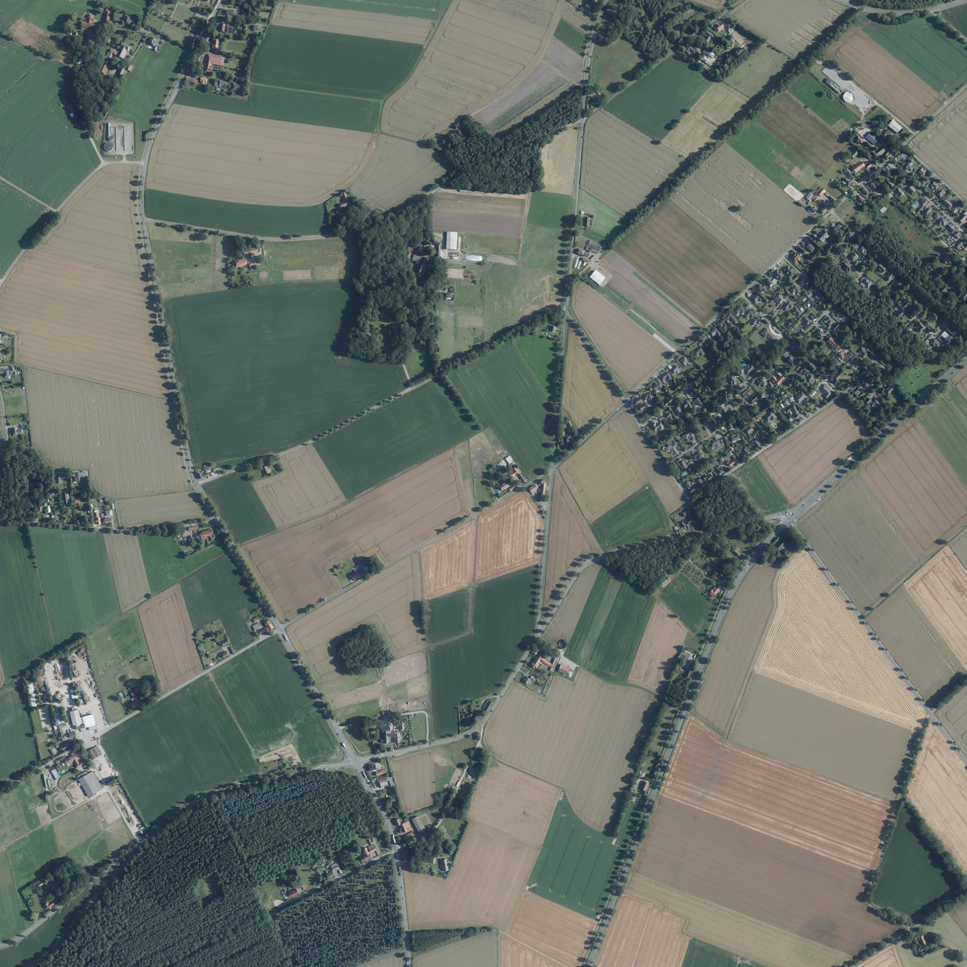
Die Hackfeldstraße in Heiligenrode in Stuhr ist eine Nebenstraße (erlaubt). Die nächste Haltestelle in der Nähe ist Wildeshauser Straße (ca. 500 m entfernt).
- Straßentyp
- Nebenstraße
Bild
Hotels
Bushaltestellen
Straßen in der Umgebung
Marienweg150 m
Weideweg350 m
Am Bartelshorn550 m
Heiligenroder StraßeWildeshauser Straße, Brückenradweg, Friedhof, Rieffers, Kreuzung B322, Bestattungsinstitut Ehlers, Gärtnerei, Heiligenrode Gärtnerei, Tränke, Radwege durch Heiligenrode, Meyerhof, Parkplatz Meyerhof
550 m
Lärchenweg550 m
Kornweg600 m
Bartelshorn650 m
Kätinger MühlenwegHeiligenrode, Kätinger Mühlenweg, Brückenradweg
650 m
Goldene Aue700 m
Fahrenhorster Weg750 m
In der Waldsiedlung800 m
Alter Heuweg850 m
BarkwegHaus am Horst
850 m
Wildeshauser StraßeWaldsiedlung, Wildeshauser Straße
900 m
Zum Bremershof900 m
Am Forst900 m
Waldstraße900 m
Heidkämpe950 m
Waldwinkel1000 m
Kätinger Fuhren1,0 km
Zum Hasenkamp1,1 km
Kirchseelter Heuweg1,1 km
Föhrenweg1,2 km
Hämelheider Weg1,2 km
Kirchseelter StraßeKirchseelter Straße/Am Forst, Schwarzer Weg
1,2 km
Bäckergasse1,3 km
Kornmühlenweg1,3 km
HauptstraßeKreuzung, Felta, Gasthaus zur Linde, Stuhrtour
1,3 km
Feiner Weg1,3 km
Zollstraße1,4 km
Feiner Straße1,4 km
Turmstraße1,4 km
Klosterbachweg1,4 km
Amselweg1,5 km
Schwarzer WegDenkmaltour, Fahrenhorst
1,5 km
Gerdshütteweg1,5 km
Homweg1,5 km
Kätingen1,5 km
EulenwegDenkmaltour
1,5 km
Bürsteler Richtweg1,6 km
Harpstedter StraßeBürstel
1,6 km
Heiligenroder HeideBabywaldtour
1,7 km
Zur MalschScharnagel, Figurengruppe, Heiligenrode, Zur Malsch, Blerisa
1,7 km
Bremer WegBremer Weg / Eggeseer Stra0e, Bremer Weg / Eggeseer Straße, Bremer Weg / Mittelweg
1,7 km
LehmkuhlenbuschBabywaldtour
1,7 km
Am KindergartenKiTa
1,8 km
Betriebsgebäude in der Umgebung
Deutsche Telekom AG1,5 km
Gebäude in der Umgebung
Schießhalle1,5 km
Tierpensionen in der Umgebung
Meyer's Pferdehof1,7 km
 ÖPNV-Stadtplan Heiligenrode Legende
 | Bahn | |
| Bus | |
| Straßenbahn |
 Fahrradstadtplan Heiligenrode Legende
 | Radweg | |
| Fahrradspur auf der Fahrbahn | |
| Radfahren auf der Busspur | |
| Fahrradstraße | |
| Für Radfahrer frei | |
| Für Radfahrer frei, guter Weg | |
| Radfahren verboten | |
| Kopfsteinpflaster |
| Fernradweg | (je nach Maßstab) | |
| Fernradweg |
 Fußgängerstadtplan Heiligenrode Legende
 | Pfad |
| Fernwanderweg | (je nach Maßstab) | |
| Fernwanderweg | ||
| Fußgänger verboten |