
Zum Warwer Sand in Stuhr Fahrenhorst
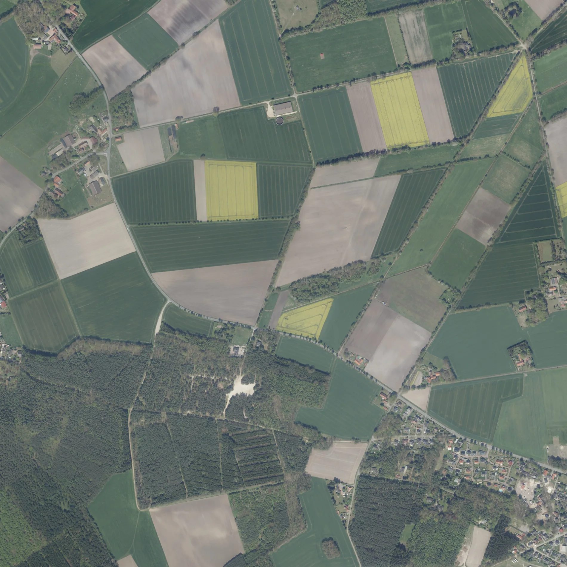
Zum Warwer Sand in Fahrenhorst in Stuhr ist ein wassergebundener Feldweg (Schotterweg). In der Umgebung befindet sich ein Parkplatz.
- Straßentyp
- Feldweg
Bild
Parkplätze
Straßen in der Umgebung
Warwer StraßeHelgolander Straße, Ristedt, Warwer Straße, Warwer Straße
550 m
Zum Bradenholz650 m
Neuenlander Straße850 m
Im Waldesgrund1000 m
Hermannsburg1000 m
Warwer Heide1,0 km
Helgolander Straße1,1 km
Am Fahrenhorster Damm1,1 km
Zum Birkenhof1,3 km
Vor der Warwer Riede1,3 km
Schützenstraße1,4 km
Ristedter StraßeFeine, Stöver, Milchtankstelle Hof Evers
1,4 km
Blohmbergstraße1,4 km
Birkenau1,5 km
Zum Grunewald1,5 km
Hokenbarg1,5 km
Lärchenreihe1,5 km
Im Dammsohr1,5 km
Tannenhain1,5 km
HohlwegRistedt Hauptstraße
1,6 km
Pappelweg1,6 km
Feiner Straße1,6 km
Ristedter HauptstraßeRistedt Hauptstraße, Eggers, Hauptstraße, Ristedt, Sörhauser Straße
1,6 km
Unter der Windmühle1,6 km
Heudamm1,6 km
Feuerwehrstraße1,6 km
Scheunenbrink1,6 km
Turmstraße1,7 km
Windmühlenstraße1,7 km
Bleeken Kämpe1,7 km
An den Alten Eichen1,7 km
HauptstraßeKreuzung, Felta, Gasthaus zur Linde, Stuhrtour
1,7 km
Heiligenroder Straße1,7 km
Am Lendengraben1,7 km
Holunderwinkel1,7 km
Am Hülsenberg1,8 km
Alte Schulstraße1,9 km
Bäche in der Umgebung
Gänsebach1,1 km
Hombach1,5 km
Friedhöfe in der Umgebung
Friedhof Fahrenhorst (Stuhr)1,0 km
Gebäude in der Umgebung
Milchtankstelle Hof Evers700 m
Ehemaliges Feuerwehrhaus Ristedt1,6 km
Schießhalle1,6 km
Gemeinschaftszentren in der Umgebung
Vereinsheim TSV Ristedt1,9 km
Hostels in der Umgebung
Schullandheim Ristedt1,1 km
Sandflächen in der Umgebung
Warwer Sand350 m
Spielplätze in der Umgebung
Dorfplatz Fahrenhorst1,6 km
Sportplätze in der Umgebung
Tennisplatz Warwe700 m
Öffentliche Gebäude in der Umgebung
Bürgerhaus1,5 km
 ÖPNV-Stadtplan Fahrenhorst Legende
 | Bahn | |
| Bus | |
| Straßenbahn |
 Fahrradstadtplan Fahrenhorst Legende
 | Radweg | |
| Fahrradspur auf der Fahrbahn | |
| Radfahren auf der Busspur | |
| Fahrradstraße | |
| Für Radfahrer frei | |
| Für Radfahrer frei, guter Weg | |
| Radfahren verboten | |
| Kopfsteinpflaster |
| Fernradweg | (je nach Maßstab) | |
| Fernradweg |
 Fußgängerstadtplan Fahrenhorst Legende
 | Pfad |
| Fernwanderweg | (je nach Maßstab) | |
| Fernwanderweg | ||
| Fußgänger verboten |