
Am Klümoor in Wetschen
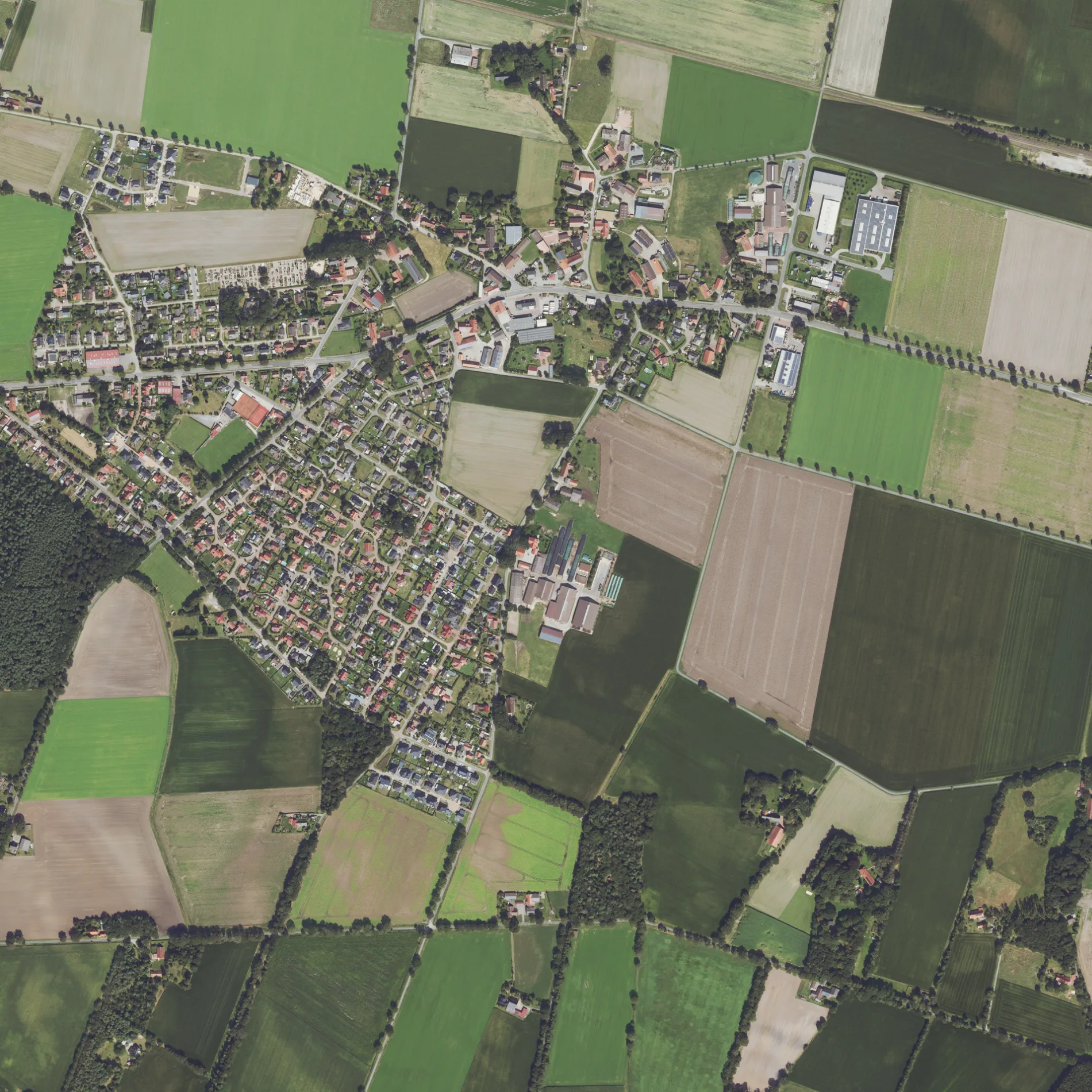
Das Am Klümoor in Wetschen ist eine Wohnstraße.
- Straßentyp
- Wohnstraße
Bild
Bushaltestellen
Straßen in der Umgebung
Am Hörenkamp250 m
Ginsterweg250 m
Heuweg300 m
Lorbeerweg300 m
Am Reitplatz350 m
Kampstraße350 m
Rotdornweg400 m
Ahornweg400 m
Ulmenstraße450 m
Mandelbaumweg450 m
Wetscher Torfweg550 m
Akazienstraße550 m
Eichenstraße550 m
Buchenstraße600 m
Kastanienweg600 m
Holunderweg650 m
Birkenstraße650 m
Wetscher BruchstraßeWetscher Fladder
650 m
Erlenweg700 m
Schmiedestraße700 m
Pappelweg700 m
Lindenweg750 m
Am Sportplatz800 m
Rüskenweg800 m
An der SchuleGrundschule Wetschen
800 m
Heckenweg850 m
Bultmannsort850 m
Am Klärwerk850 m
Mühlenweg850 m
Fliederstraße850 m
Auf der Hardt900 m
Am Kirchwald900 m
Diepholzer StraßeWetschen, Recker, Wetschen, Wetscherhardt, Abzw. Bahnhof
950 m
Kirchstraße950 m
Enge Straße950 m
Dückenort1000 m
Leukenort1000 m
Niedersachsenweg1000 m
Drebber Straße1,0 km
Bäckereien in der Umgebung
Bäckerei Overmeyer950 m
Feuerwachen in der Umgebung
Feuerwehr Wetschen800 m
Gebäude in der Umgebung
TSV Wetschen750 m
Recker Convenience900 m
Schützenhaus Wetschen1000 m
Gewerbegebiete in der Umgebung
Reifen-Großhandel Johann Van Düllen850 m
Gotteshäuser in der Umgebung
Johannes-Kirche Wetschen950 m
Gräben in der Umgebung
Ehrlinger Graben800 m
Schnellrestaurants in der Umgebung
Anne's Gourmet Tempel1000 m
Tankstellen in der Umgebung
Classic Wetschen950 m
 ÖPNV-Stadtplan Wetschen Legende
 | Bahn | |
| Bus | |
| Straßenbahn |
 Fahrradstadtplan Wetschen Legende
 | Radweg | |
| Fahrradspur auf der Fahrbahn | |
| Radfahren auf der Busspur | |
| Fahrradstraße | |
| Für Radfahrer frei | |
| Für Radfahrer frei, guter Weg | |
| Radfahren verboten | |
| Kopfsteinpflaster |
| Fernradweg | (je nach Maßstab) | |
| Fernradweg |
 Fußgängerstadtplan Wetschen Legende
 | Pfad |
| Fernwanderweg | (je nach Maßstab) | |
| Fernwanderweg | ||
| Fußgänger verboten |