
Zum Speckendamm in Hemsloh
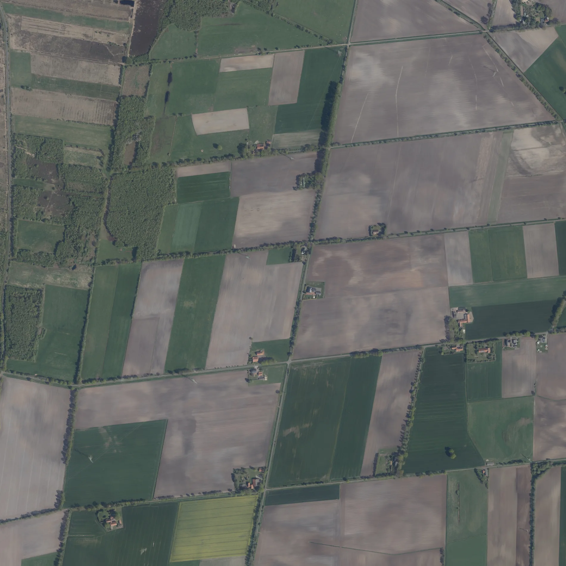
Der Zum Speckendamm in Hemsloh ist eine asphaltierte nicht klassifizierte Straße (100 km/h). Die Straße verfügt über eine Fahrbahnbreite von 3.5 m. Es ist kein Radweg vorhanden. Diese Straße liegt an den Fahrradrouten Sagenhaftes Wagenfeld 🔗, 18-66 🔗 und Kranich-Tour 🔗.
- Straßentyp
- nicht klassifizierte Straße
- Höchstgeschwindigkeit
- 100
Bild
Bushaltestellen
Straßen in der Umgebung
Zum Speckendamm100 m
Im Horn500 m
Die Langen Drathe1,1 km
SpeckendammÜbersichtskarte Geestmoor, Schutzhütte Geestmoor
1,2 km
Der Schwarze Pohl1,4 km
Die Birkenschold1,5 km
Am GottesgrabenGottesgraben, Ecke Schomburg
1,6 km
Ulenweg1,7 km
Cordings WiesenSander
1,7 km
HinterortstraßeHinterortstraße/Schröder
1,8 km
Schwarzer Damm1,8 km
Die RosenhardtBockel
1,9 km
Zum Bockeler Moor2,0 km
Auf den Rüsken2,0 km
Auf der Voßhardt2,0 km
Burlager StraßeFörlinger Bruch, Tödemann, In den Hundlosen
2,0 km
In den Hundlosen2,1 km
In den BrandenBruchschule, Auf der Voßhardt
2,1 km
Die Speckhardt2,1 km
Schulsiedlung2,2 km
SonnenstraßeSonnenstraße 74
2,3 km
MühlendammSchwarzer Pohl, Mühlendamm
2,3 km
Das Rottfeld2,4 km
Das Lohfeld2,4 km
Im Aschemoor2,4 km
Das OsterfeldGrundschule Bockel
2,4 km
Kreuzweg2,5 km
Bei der SchipphorstAuf der Voßhardt
2,5 km
In den Hügeln2,6 km
Förlinger BruchstraßeHolzförster
2,6 km
Bei den Meierhöfen2,7 km
An der Tonkuhle2,7 km
Wagenfeld, Dietzmann2,7 km
Diepholzer StraßeWagenfeld, Dietzmann, Wagenfeld, Schröder
2,7 km
An der Schmiede2,7 km
Im Pohle2,8 km
WuthenaustraßeFörlingen
2,8 km
Unter den Eichen2,8 km
Lehings Weg2,9 km
Bauernhöfe in der Umgebung
RWG Groß Lessen - Diepholz2,5 km
Gebäude in der Umgebung
Geesmoor-Turm2,3 km
Gewerbegebiete in der Umgebung
Reuter Gartentechnik2,7 km
Zimmerei Dietzmann2,7 km
Gräben in der Umgebung
Hemsloher Bruchgraben1,3 km
Gottesgraben1,5 km
Birkenschold Graben2,0 km
Wagenfelder Aue2,4 km
Geestmoorrandgraben2,5 km
Industriegebiete in der Umgebung
Wagenfelder Baugesellschaft2,2 km
Landhandel in der Umgebung
Raiffeisen-Markt Wagenfeld2,5 km
 ÖPNV-Stadtplan Hemsloh Legende
 | Bahn | |
| Bus | |
| Straßenbahn |
 Fahrradstadtplan Hemsloh Legende
 | Radweg | |
| Fahrradspur auf der Fahrbahn | |
| Radfahren auf der Busspur | |
| Fahrradstraße | |
| Für Radfahrer frei | |
| Für Radfahrer frei, guter Weg | |
| Radfahren verboten | |
| Kopfsteinpflaster |
| Fernradweg | (je nach Maßstab) | |
| Fernradweg |
 Fußgängerstadtplan Hemsloh Legende
 | Pfad |
| Fernwanderweg | (je nach Maßstab) | |
| Fernwanderweg | ||
| Fußgänger verboten |