
Tannenkamp in Barver
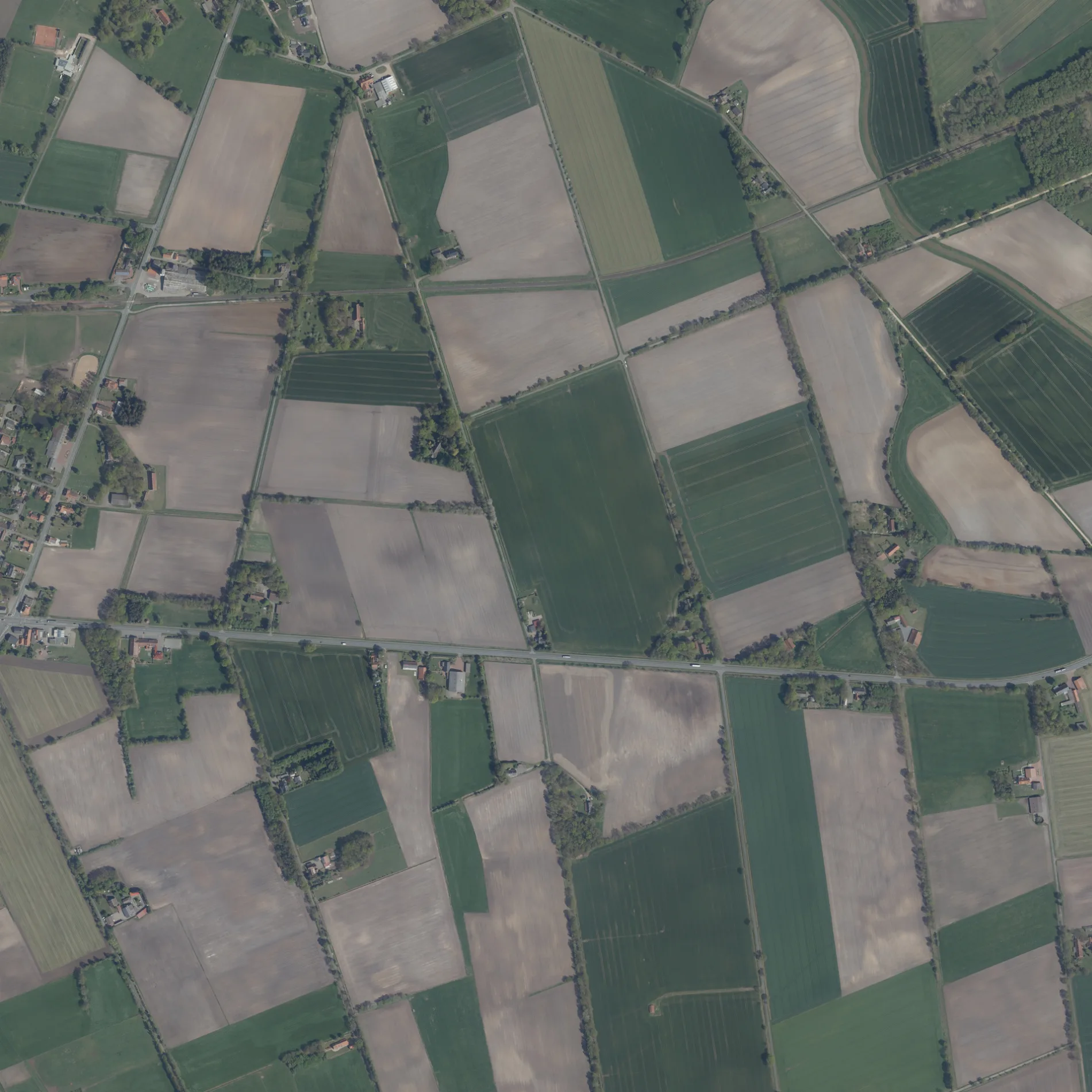
Der Tannenkamp in Barver ist ein einspuriger, unbefestigter Feldweg (Feldweg). Die nächste Bushaltestelle in der Nähe ist Barver, Fuhrenkamp (ca. 600 m entfernt).
- Straßentyp
- Feldweg
- Fahrspuren
- 1
Bild
Bushaltestellen
Straßen in der Umgebung
FasanenwegBarver, Fasanenweg
350 m
FuhrenkampBarver, Fuhrenkamp
450 m
In der FinkenstädtBarver, Kriesmann
650 m
Sulinger StraßeImbiss Ute, Barver, Timmermann, Eck 2000, Barver, Küster
800 m
Diepholzer Straße850 m
Am Brandhövel900 m
Wagenfelder Straße950 m
An der Pferdekoppel950 m
Barnstorfer StraßeBarver, Timmermann, Barver, Bahnhof, Raiffeisen Tankstelle, Barver, Oldewage
1000 m
Buchenweg1,0 km
Ahornweg1,0 km
Wirtschaftsweg1,1 km
Heckenweg1,1 km
Birkenweg1,2 km
Weideweg1,2 km
Erlenweg1,3 km
Osterfeld1,3 km
Burrichters Weg1,4 km
Am SünnekampBarver, Heider
1,4 km
Am Bahnhof1,4 km
An den Pappeln1,4 km
Die Bracke1,5 km
Sonnenstraße1,5 km
Zur Flöthe1,5 km
Im Winkel1,5 km
Zu den FöhrenBarver, Am Sünnekamp, Barver, Zu den Föhren
1,6 km
Die Riede1,6 km
Die Bleiche1,6 km
Solarpark1,6 km
Im Schwarzen Moor1,6 km
In der Masch1,7 km
Zum Alten Bruche1,8 km
An der Graft1,8 km
Voßkamp1,8 km
Am Orte1,8 km
Am Sportplatz1,8 km
Heideweg1,9 km
Kleiner Weg1,9 km
Hemsloher Heuweg2,2 km
Gebäude in der Umgebung
Timmermann850 m
Mehrzweckhalle Barver1,8 km
Tischlerei Sandrock1,8 km
Gemischtwarenläden in der Umgebung
Tankstelle Barver800 m
Geschäftsgebäude in der Umgebung
Raiffeisen-Warengenossenschaft1,4 km
Gewerbegebiete in der Umgebung
Tischlerei Vetter250 m
Gräben in der Umgebung
Molkerei-Graben1,9 km
Gottesgraben2,0 km
Restaurants in der Umgebung
Gasthaus Schusterkrug750 m
Sportplätze in der Umgebung
Schützenverein Barver1,9 km
 ÖPNV-Stadtplan Barver Legende
 | Bahn | |
| Bus | |
| Straßenbahn |
 Fahrradstadtplan Barver Legende
 | Radweg | |
| Fahrradspur auf der Fahrbahn | |
| Radfahren auf der Busspur | |
| Fahrradstraße | |
| Für Radfahrer frei | |
| Für Radfahrer frei, guter Weg | |
| Radfahren verboten | |
| Kopfsteinpflaster |
| Fernradweg | (je nach Maßstab) | |
| Fernradweg |
 Fußgängerstadtplan Barver Legende
 | Pfad |
| Fernwanderweg | (je nach Maßstab) | |
| Fernwanderweg | ||
| Fußgänger verboten |