
Neustädter Straße in Barver
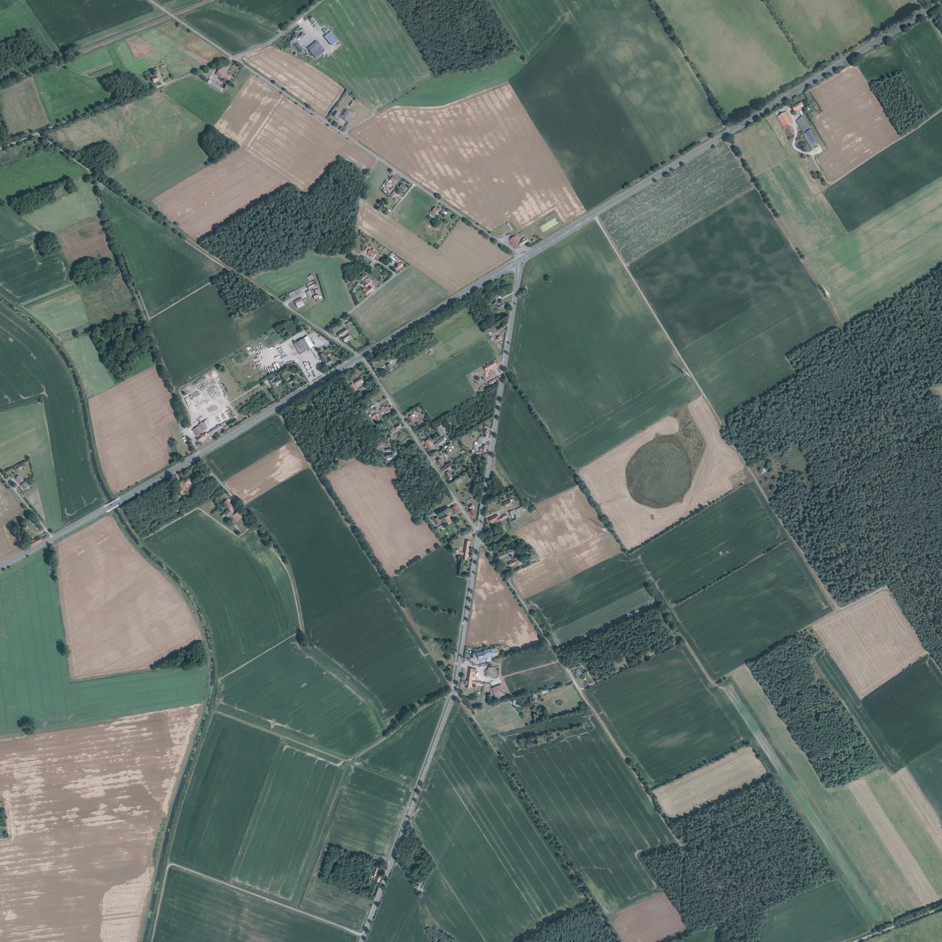
Die Neustädter Straße in Barver ist eine zweispurige, asphaltierte Kreisstraße (100 km/h). Die Straße verfügt über einen Radweg. Diese Straße liegt an der Fernstraße „K 42". Hier verläuft die Buslinie 168. Die nächste Haltestelle in der Nähe ist Barver, Auf dem Vorrel (ca. 350 m entfernt). Eine Neustädter Straße gibt es auch in Samtgemeinde Kirchdorf.
- Fahrrad
- Nebenweg nutzen
- Straßentyp
- Kreisstraße
- Fahrspuren
- 2
- Höchstgeschwindigkeit
- 100
Bild
Bäckereien
Bushaltestellen
- Buslinien 168
Straßen in der Umgebung
Auf dem VorrelBarver, Auf dem Vorrel
600 m
Am Kampe700 m
An der Aue750 m
An den Tannen800 m
Am Walde850 m
Am Moor900 m
Wehrblecker HeideSeidel
950 m
Kastanienweg1000 m
Im Mühlenmoor1,4 km
An den Eichen1,5 km
Zum Delloh1,6 km
Am Brandhövel2,0 km
Von-Lepel-StraßeFreistatt
2,0 km
Die Bracke2,0 km
Tegelplacken2,0 km
Diepholzer Straße2,0 km
Zur Flöthe2,0 km
Moorsiedlung2,1 km
Im Felde2,1 km
Freistatt, VerwaltungsgebäudeFreistatt, Verwaltungsgebäude
2,3 km
Sonnentau2,3 km
Roter Weg2,3 km
Von-Bodelschwingh-Straße2,3 km
DeckertstraßeFreistatt Hauptbahnhof, frischmarkt
2,4 km
FasanenwegBarver, Fasanenweg
2,4 km
Am Moorkanal2,5 km
Kirchstraße2,5 km
FlöthwegFlöthebrücke
2,5 km
Osterfeld2,6 km
Morgenland2,6 km
Meierort2,6 km
Die Ley2,6 km
In der FinkenstädtBarver, Kriesmann
2,6 km
Am Orte2,6 km
In den Hasten2,7 km
Im Rethbruche2,7 km
DorfstraßeBarver, Barver, Feuerwehrgerätehaus
2,7 km
Rhienweg2,8 km
Heideweg2,9 km
Arztpraxen in der Umgebung
Hausarztpraxis Olaf Rapsch2,3 km
Flüsse in der Umgebung
Wagenfelder Aue600 m
Gebäude in der Umgebung
Tischlerei Sandrock2,6 km
Gewerbegebiete in der Umgebung
Jübner750 m
Gotteshäuser in der Umgebung
Trauerhalle - Friedhof Barver2,8 km
Kirche Barver2,8 km
Gräben in der Umgebung
Moorgraben2,0 km
Flöthe2,4 km
Barver Moorgraben2,5 km
Supermärkte in der Umgebung
Tante Enso Barver2,8 km
 ÖPNV-Stadtplan Barver Legende
 | Bahn | |
| Bus | |
| Straßenbahn |
 Fahrradstadtplan Barver Legende
 | Radweg | |
| Fahrradspur auf der Fahrbahn | |
| Radfahren auf der Busspur | |
| Fahrradstraße | |
| Für Radfahrer frei | |
| Für Radfahrer frei, guter Weg | |
| Radfahren verboten | |
| Kopfsteinpflaster |
| Fernradweg | (je nach Maßstab) | |
| Fernradweg |
 Fußgängerstadtplan Barver Legende
 | Pfad |
| Fernwanderweg | (je nach Maßstab) | |
| Fernwanderweg | ||
| Fußgänger verboten |