
Steinloher Damm in Bahrenborstel Holzhausen
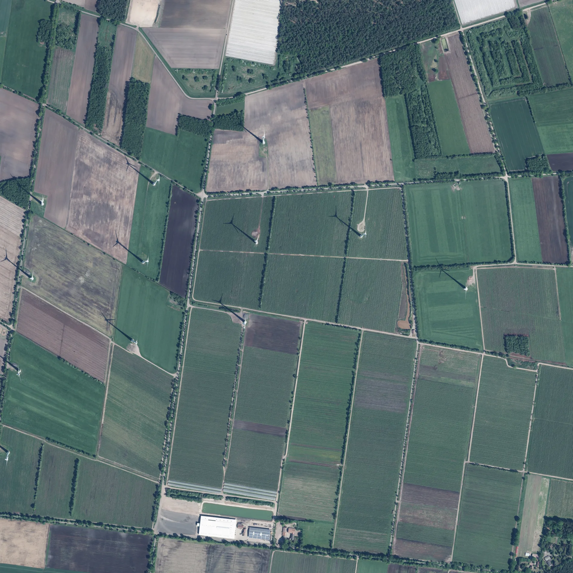
Der Steinloher Damm in Holzhausen in Bahrenborstel ist ein wassergebundener Feldweg (30 km/h, Schotterweg). Er verläuft in Nord-Süd-Richtung vom Tempelberg kommend und kreuzt den Linteler Graben und die Straße An der Landriede. In der Umgebung befindet sich ein Unterstand. Diese Straße liegt an den Fahrradrouten 41-54 🔗 und 54-67 🔗.
- Straßentyp
- Feldweg
- Höchstgeschwindigkeit
- 30
- Verlauf
- Nord-Süd
Bild
Unterstände
Straßen in der Umgebung
Jägerweg650 m
Zum Hespeloh1,6 km
Linteler Graben1,7 km
DarlatenDarlaten, Darlaten, Administration, Abfahrt Darlaten, Abzweig Hespeloh
1,8 km
Tempelberg2,0 km
Vorm Stellohberg2,0 km
An der Landriede2,0 km
Darlatener Straße2,1 km
Ströher StraßeHolzhausen, Zum Hespeloh, Zum Hespeloh
2,1 km
GöthenGöthen, Holzhausen (DH)
2,2 km
ErlenwegHolzhausen
2,3 km
Im Feld2,4 km
Mühlenweg2,4 km
Holzhauser StraßeHolzhausen (DH)
2,4 km
Linteler Berg2,5 km
Grüne Riede2,5 km
Holzhausen (DH)2,6 km
Im Hespeloher Moor2,7 km
Heerder Moorweg2,8 km
Knappheide2,8 km
Kirschallee2,9 km
Tangenweg3,0 km
An den Kuhlen3,0 km
Zum HakenmoorHakenmoor
3,1 km
Darlatener Weg3,2 km
Pommernweg3,2 km
Schlesier Weg3,3 km
Ostpreußenstraße3,3 km
Göthener StraßeBahrenborstel, Siedlung, Siedlung
3,6 km
EichenstraßeSchule Bahrenborstel, Ela's Hofcafe
3,6 km
Koppelweg3,6 km
In den Gärten3,7 km
FuchsbergFuchsberg, Darlaten, Fuchsberg
3,8 km
Am Schafdamm3,8 km
Feuerwachen in der Umgebung
Freiwillige Feuerwehr Darlaten2,2 km
Friedhöfe in der Umgebung
Friedhof Darlaten1,8 km
Gebäude in der Umgebung
Dorfgemeinschaftshaus Darlaten2,2 km
Torfwerk3,7 km
Gräben in der Umgebung
Landriede2,2 km
Schmollgraben2,7 km
Schafdammgraben3,1 km
Moorkanal3,5 km
Seemoorgraben3,6 km
Industriegebiete in der Umgebung
Bahrenborstel Z022,7 km
Mischstation Bahrenborstel3,2 km
Landbäckerei Niemeyer3,7 km
Torfwerk Darlaten / Uchte3,8 km
Kapellen in der Umgebung
Friedhofskapelle Darlaten1,7 km
Vogelbeobachtungshütten in der Umgebung
Vogelbeobachtungsplatz Uchter Moor2,2 km
 ÖPNV-Stadtplan Holzhausen Legende
| Bahn | |
| Bus | |
| Straßenbahn |
 Fahrradstadtplan Holzhausen Legende
| Radweg | |
| Fahrradspur auf der Fahrbahn | |
| Radfahren auf der Busspur | |
| Fahrradstraße | |
| Für Radfahrer frei | |
| Für Radfahrer frei, guter Weg | |
| Radfahren verboten | |
| Kopfsteinpflaster |
| Fernradweg | (je nach Maßstab) | |
| Fernradweg |
 Fußgängerstadtplan Holzhausen Legende
| Pfad |
| Fernwanderweg | (je nach Maßstab) | |
| Fernwanderweg | ||
| Fußgänger verboten |