
Hünkenweg in Schwarme
Der Hünkenweg in Schwarme ist eine Wohnstraße. Die nächste Haltestelle in der Nähe ist Klinkerweg (ca. 300 m entfernt).
- Straßentyp
- Wohnstraße
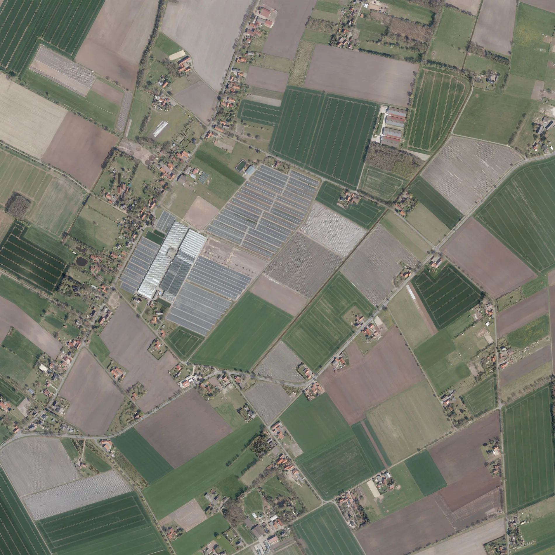
Bild
Friseursalons
Bushaltestellen
Straßen in der Umgebung
Klinkerweg250 m
An der HeideKlinkerweg, An der Heide
600 m
KirchstraßeSchuhhaus Wacker, Schnittpunkt, Mühlenweg
800 m
Heideweg800 m
MittelwegMittelweg
850 m
Uhlenbruchsdamm1000 m
An der RietlakeTulpenweg
1000 m
Am MoorAm Moor
1,2 km
Ditzenkamp1,2 km
Lütjenkamp1,2 km
Coorskamp1,2 km
Am Heidkamp1,2 km
Benzkamp1,3 km
Stüringsweg1,3 km
Bruchweg1,4 km
MühlenwegGrundschule Schwarme
1,4 km
Wilmsweg1,4 km
In der Heide1,4 km
Schwarmer StraßeBruchstraße, Alte Landwehr
1,5 km
Bremer Freunde Weg1,5 km
Im Moor1,5 km
Verdener StraßeKindergarten Schwarme, Tulpenweg, Verdener Straße
1,5 km
Hinterm Felde1,6 km
Stührweg1,6 km
Kirchweg1,7 km
Tulpenweg1,7 km
Auf dem Stühr1,7 km
Eichenstraße1,7 km
Unter den Eichen1,7 km
ForststraßeDesire
1,8 km
Beppener StraßeMeliorationstour (grün)
1,8 km
Birkenweg1,9 km
Vorwiese2,0 km
Einster Straße2,0 km
Auf der BrakeSchwarme
2,0 km
HauptstraßeSparkasse, Classic
2,0 km
Im Fleut2,0 km
Ancinner Ring2,1 km
Bruchhausener StraßeMilano zur Post, Waldstraße
2,1 km
Unter den Linden2,1 km
Bremer StraßeRosenhagen, Volksbank Sulingen
2,1 km
Augustusburger Straße2,1 km
Hustedter Weg2,2 km
Ackerland in der Umgebung
Beppener Bruch1,9 km
Betriebsgebäude in der Umgebung
Deutsche Telekom AG2,1 km
Feuerwachen in der Umgebung
Feuerwehr Schwarme1,3 km
Gebäude in der Umgebung
Praxis J. Hoffmann1,4 km
Gotteshäuser in der Umgebung
Schwarmer Kirche1,5 km
Schwimmbäder in der Umgebung
Freibad Schwarme1,4 km
 ÖPNV-Stadtplan Schwarme Legende
 | Bahn | |
| Bus | |
| Straßenbahn |
 Fahrradstadtplan Schwarme Legende
 | Radweg | |
| Fahrradspur auf der Fahrbahn | |
| Radfahren auf der Busspur | |
| Fahrradstraße | |
| Für Radfahrer frei | |
| Für Radfahrer frei, guter Weg | |
| Radfahren verboten | |
| Kopfsteinpflaster |
| Fernradweg | (je nach Maßstab) | |
| Fernradweg |
 Fußgängerstadtplan Schwarme Legende
 | Pfad |
| Fernwanderweg | (je nach Maßstab) | |
| Fernwanderweg | ||
| Fußgänger verboten |