
Schierelberg in Drentwede Bockstedt
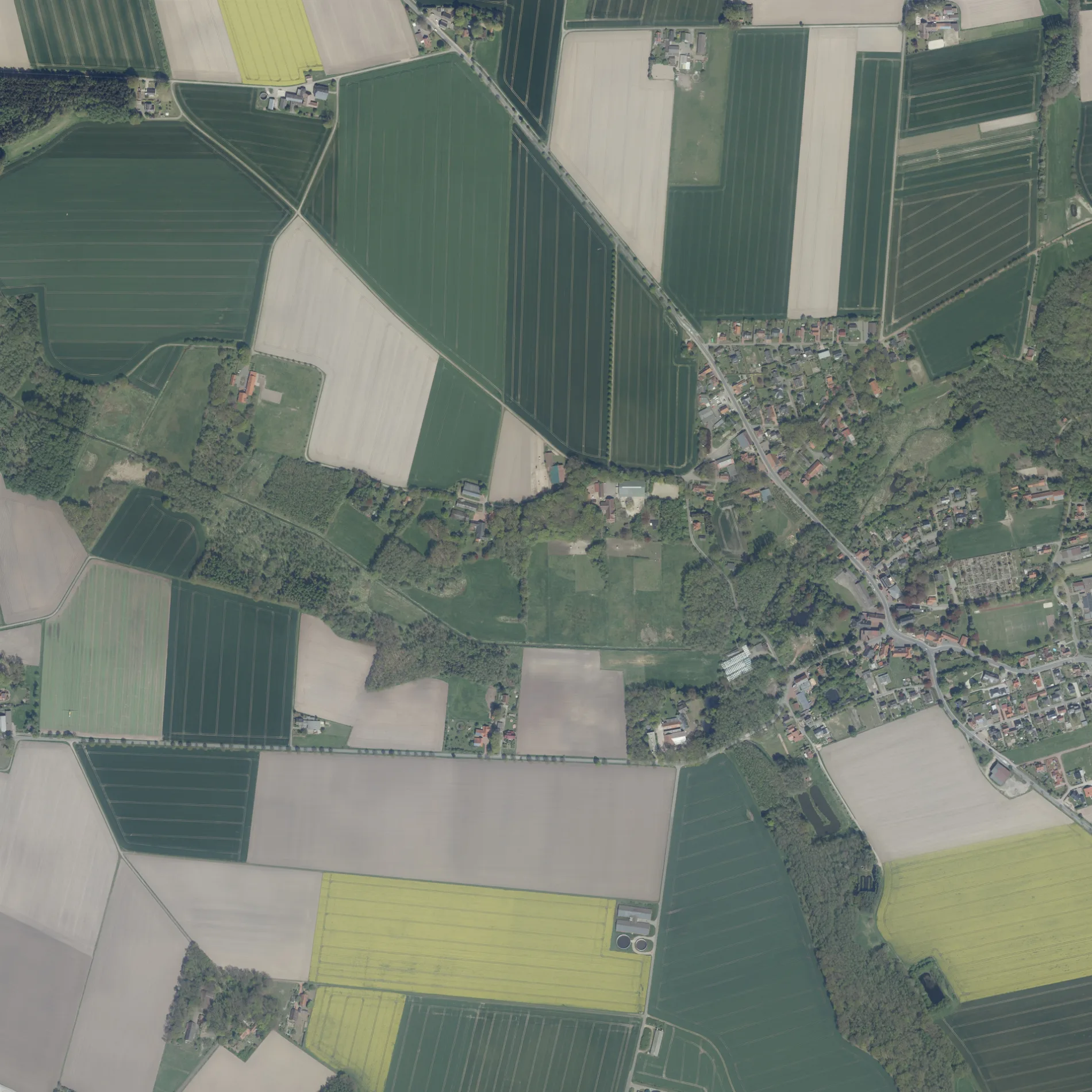
Der Schierelberg in Bockstedt in Drentwede ist eine einspurige Nebenstraße.
- Straßentyp
- Nebenstraße
- Fahrspuren
- 1
Bild
Touristeninformationen
Straßen in der Umgebung
Knappheide600 m
HespeEntdeckertour
700 m
Am SchützenplatzFeuerwehr Bockstedt, Ortsmitte
800 m
Ohlendiek900 m
BockstedtBockstedt
900 m
Zum Heiligenberg1,1 km
MühlendammExoGa, Twistringer Erlebnisroute Archäologie
1,1 km
HünenheideTwistringer Erlebnisroute Archäologie
1,1 km
Bockstedter Straße1,2 km
Bockstedter WegEntdeckertour
1,3 km
PoststraßeSeniorenwohnpark Heiligenloh
1,3 km
In der SohlriedeEntdeckertour
1,3 km
HauptstraßeLändlichen Pflege- und Sozialberatungsdienst Heiligenloh, Twistringer Erlebnisroute Archäologie, Heide, nah und gut Humpe, Kaffeezeit, Fahrzeughaus Johann Abeling GmbH, Humpe
1,3 km
Rüssener Heerweg1,3 km
Gartenstraße1,3 km
HermannstraßeGaststätte Bitter, Entdeckertour, Kindergarten Lollypop
1,4 km
Am PfarrgartenHeiligenloh, Volksbank Vechta eG, Filiale Volksbank Heiligenloh, Twistringer Erlebnisroute Archäologie
1,4 km
Parkstraße1,4 km
Alte DorfstraßeTwistringer Erlebnisroute Archäologie, Entdeckertour, Galerie Veting
1,4 km
Am Hang1,4 km
Am Kiekbusch1,5 km
SchulstraßeSchule
1,6 km
Oderstraße1,6 km
Auf der Heide1,7 km
Heithaus1,7 km
Vor Harms Holt1,7 km
Vor dem FangGrundschule Heiligenloh
1,7 km
HeiligenlohTwistringer Erlebnisroute Archäologie
1,8 km
Achter Harms HoltTwistringer Erlebnisroute Archäologie, Kreuzung Stophel
1,8 km
An der HenckemühleTwistringer Erlebnisroute Archäologie
1,9 km
Adelhorn2,1 km
Am Holze2,3 km
Uhlhorn2,4 km
Rüstinger Feld2,5 km
Betriebsgebäude in der Umgebung
Deutsche Telekom AG1,3 km
Bäche in der Umgebung
Aldorfer Bach1,7 km
Heiligenloher Beeke2,2 km
Natenstedter Beeke2,6 km
Feuerwachen in der Umgebung
Feuerwehr Heiligenloh1,6 km
Friedhöfe in der Umgebung
Friedhof1,5 km
Gebäude in der Umgebung
Verwaltung St. Marien-Kirchengemeinde Heiligenloh-Colnrade1,4 km
Gotteshäuser in der Umgebung
Kirche Heiligenloh1,3 km
Gräben in der Umgebung
Riedegraben1,2 km
Grenzgraben "Ohlendiek"1,2 km
Riedegraben-Bissenhausen2,0 km
Röper Graben2,1 km
Industriegebiete in der Umgebung
Trafo Bockstedt 141,2 km
Bockstedt 2 / 28 / 87 / 881,4 km
Hünenheide S11,9 km
 ÖPNV-Stadtplan Bockstedt Legende
 | Bahn | |
| Bus | |
| Straßenbahn |
 Fahrradstadtplan Bockstedt Legende
 | Radweg | |
| Fahrradspur auf der Fahrbahn | |
| Radfahren auf der Busspur | |
| Fahrradstraße | |
| Für Radfahrer frei | |
| Für Radfahrer frei, guter Weg | |
| Radfahren verboten | |
| Kopfsteinpflaster |
| Fernradweg | (je nach Maßstab) | |
| Fernradweg |
 Fußgängerstadtplan Bockstedt Legende
 | Pfad |
| Fernwanderweg | (je nach Maßstab) | |
| Fernwanderweg | ||
| Fußgänger verboten |