
Marschstraße in Geestland Köhlen
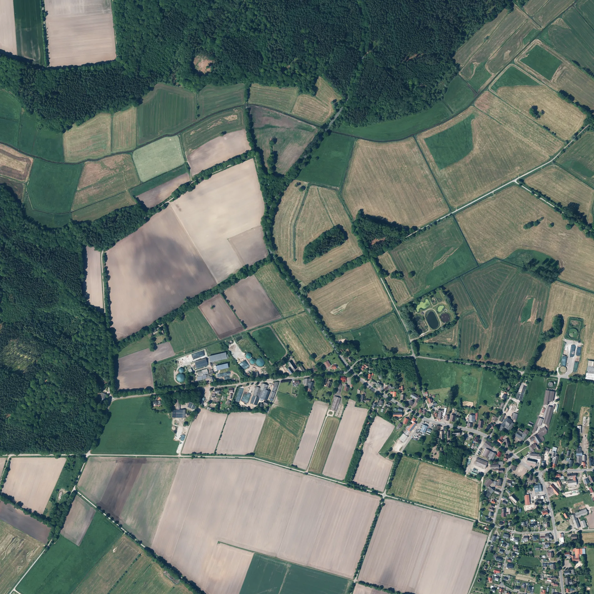
Die Marschstraße in Geestland ist eine geschotterte Nebenstraße (50 km/h). Sie verläuft in Ost-West-Richtung und kreuzt Dorfstraße-West und endet an Deichwiesen. Die nächste Haltestelle in der Nähe ist Köhlen, Deichwiesen (ca. 350 m entfernt).
- Straßentyp
- Wohnstraße
- Höchstgeschwindigkeit
- 50
- Verlauf
- Ost-West
Bild
Bushaltestellen
Straßen in der Umgebung
Eicksgang550 m
Im Stegen600 m
Dorfstraße-WestKöhlen, Deichwiesen, Köhlen, Zur Mühle
800 m
Nordbruch900 m
Am Kreuzacker900 m
Deichwiesen900 m
Zur MühleKöhlen, Zur Mühle
900 m
Karl-Friederich-Straße1,0 km
Geestensether Straße1,0 km
Alter Kirchweg1,1 km
Am Mühlenberg1,1 km
Vorm MoorVorm Moor, Köhlen, Vorm Moor Nr. 44, Köhlen, Vorm Moor Nr. 4
1,2 km
Zum HornackerCafé „Yesterday“, Oldtimer-Museum "Yesterday"
1,2 km
FlötenkielRingstedt, Flötenkiel
1,2 km
An den Köhlstätten1,3 km
Ortbruch1,4 km
Feldhorn1,6 km
Dorfstraße-OstKöhlen, Unter den Linden, Köhlen
1,6 km
Martin-Döscher-Weg1,8 km
Stichstraße1,9 km
Abläufe in der Umgebung
Hohenpohlsmoorgraben1,3 km
Höllengraben1,9 km
Autowerkstätten in der Umgebung
Von Glahn Autoservice600 m
Baumärkte in der Umgebung
Raiffeisen-Markt1000 m
Bäckereien in der Umgebung
Bäckerei Hoops1,1 km
Feuerwachen in der Umgebung
Freiwillige Feuerwehr Köhlen900 m
Flüsse in der Umgebung
Scheidebach900 m
Friedhöfe in der Umgebung
Friedhof Köhlen1,8 km
Friseursalons in der Umgebung
Die Schnippelstube1,1 km
Gebäude in der Umgebung
Dieter-Warnke-Halle550 m
Claus Hillebrandt Tischlereiwerkstatt900 m
Warnke1,2 km
Dorfgemeinschaftshaus Köhlen1,2 km
Sportlerheim Köhlen1,2 km
Sand + Kies Döscher1,6 km
Gräben in der Umgebung
Westerholzgraben350 m
Dorfgraben800 m
Desebruchgraben850 m
Deichwiesengraben1,1 km
Wildes Moor Graben1,3 km
Geestensether Deichseitengraben2,0 km
Vorm-Moor-Graben2,0 km
Häuser in der Umgebung
HZ100 m
Industriegebiete in der Umgebung
Teichkläranlage Köhlen550 m
Kindergärten in der Umgebung
Kita Köhlen1,2 km
Metzgereien in der Umgebung
Fleischerei und Partyservice Volkens650 m
Sporthallen in der Umgebung
Turnhalle Köhlen1,2 km
Tankstellen in der Umgebung
Hubert Tankstelle1,0 km
Wälder in der Umgebung
Westerholz500 m
 ÖPNV-Stadtplan Köhlen Legende
 | Bahn | |
| Bus | |
| Straßenbahn |
 Fahrradstadtplan Köhlen Legende
 | Radweg | |
| Fahrradspur auf der Fahrbahn | |
| Radfahren auf der Busspur | |
| Fahrradstraße | |
| Für Radfahrer frei | |
| Für Radfahrer frei, guter Weg | |
| Radfahren verboten | |
| Kopfsteinpflaster |
| Fernradweg | (je nach Maßstab) | |
| Fernradweg |
 Fußgängerstadtplan Köhlen Legende
 | Pfad |
| Fernwanderweg | (je nach Maßstab) | |
| Fernwanderweg | ||
| Fußgänger verboten |