
Bischofsbrücker Straße in Molbergen
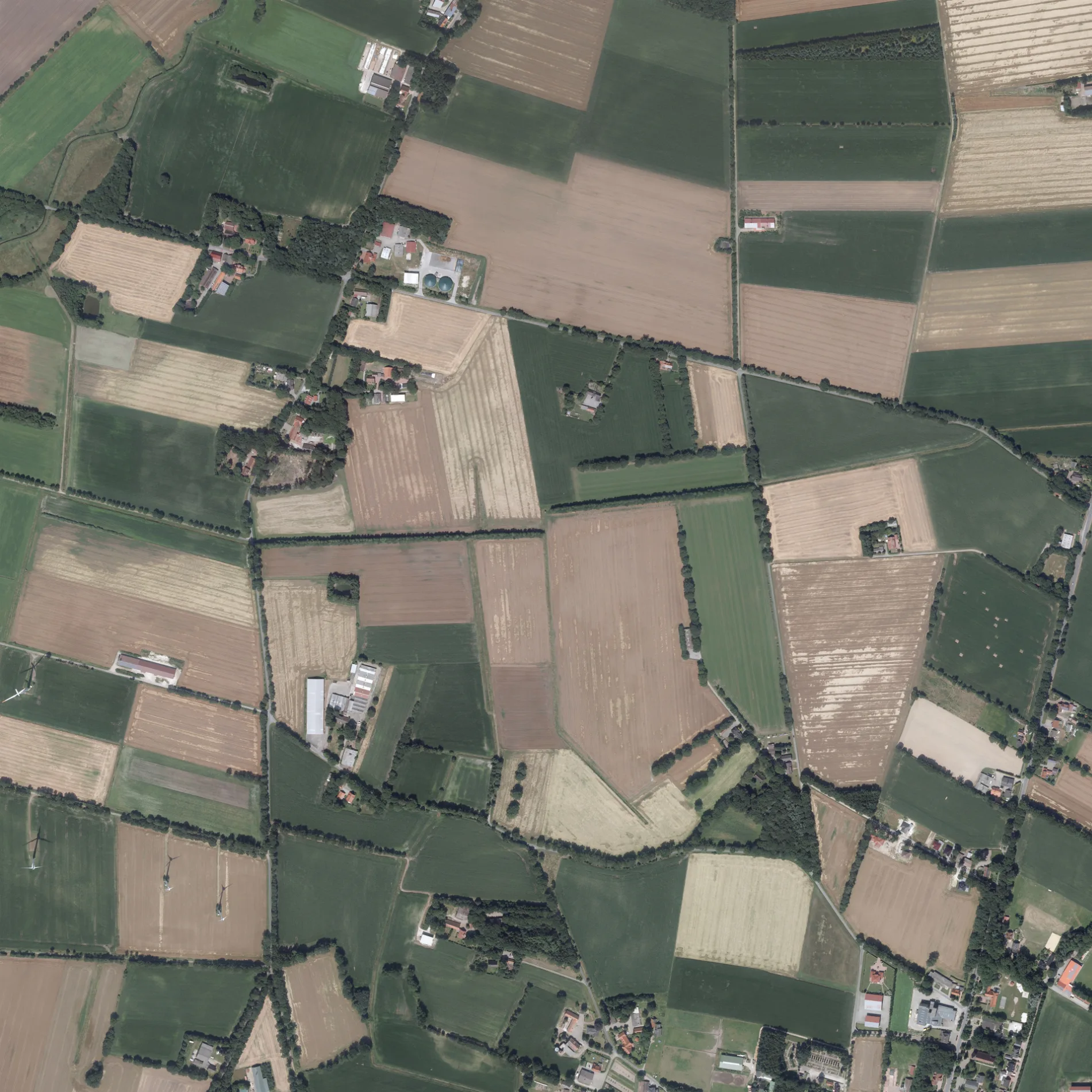
Die Bischofsbrücker Straße in Molbergen ist eine asphaltierte, unbeleuchtete nicht klassifizierte Straße (100 km/h). Es ist kein Radweg vorhanden. Diese Straße liegt an den Fahrradrouten Geestweg 🔗, Boxenstopp-Route 🔗, Cloppenburger Radtour 🔗, Radtour durch Geest und Moor 🔗, Radroute der Megalithkultur 🔗, (54) - (92) 🔗, 80-92 🔗, Land-Schafft-Kultur 🔗 und Molberger Meilen Westroute 🔗. Die nächste Haltestelle ist Brügger-Treff.
- Straßentyp
- nicht klassifizierte Straße
- Höchstgeschwindigkeit
- 100
Bild
Bushaltestellen
Straßen in der Umgebung
Am Hasseford400 m
Molkereiweg800 m
Zur Bäke800 m
Vreesner Straße800 m
Neuen Winkel800 m
Querkamp850 m
Raiffeisenstraße900 m
Geschwister-Scholl-Straße950 m
Zum HünengrabBrügger-Treff, Ortmann
1000 m
Dietrich-Bonhoeffer-Straße1,0 km
Von-Galen-Straße1,0 km
Von-Bingen-Straße1,0 km
Friedhofstraße1,1 km
Kleines Feld1,1 km
Kolpingstraße1,1 km
St.-Anna-StraßeVolksbank Peheim
1,2 km
Markhauser StraßeMarkhauser Straße, Dämpfanlage
1,2 km
Auf der Handlage1,2 km
Zum Sportzentrum1,2 km
Linderner Straßenah und gut Willenborg
1,3 km
Bischofsbrücker Weg1,3 km
Von-Meurers-Straße1,4 km
KirchwegPeheim
1,4 km
Pedostraße1,4 km
Dämpfanlage1,4 km
Kaspelhauk1,5 km
Lürken Tannen1,5 km
Hegeler Damm1,5 km
SostelGS energie, GS agri
1,6 km
Eichenweg1,6 km
Bussardstraße1,7 km
Feldstraße1,7 km
Ermker Damm1,7 km
Niedriger Weg1,7 km
Peheimer StraßeFindlinge, Vrees
1,8 km
Grenzstraße1,8 km
Eichenkamp1,9 km
Bauernhöfe in der Umgebung
Hof Wewer800 m
Bäche in der Umgebung
Marka1,0 km
Computergeschäfte in der Umgebung
Böckmann Computer1,0 km
Eisdielen in der Umgebung
Softeis Lampe1,7 km
Gebäude in der Umgebung
Katholische Grundschule Peheim1,3 km
SV Peheim-Grönheim1,4 km
Gemeinschaftszentren in der Umgebung
Pfarrheim Peheim1,3 km
Geschäfte in der Umgebung
Viehhandlung Gerhard Brake1,1 km
Gotteshäuser in der Umgebung
Filialkirche St. Anna, Peheim1,3 km
Kindergärten in der Umgebung
St.-Anna-Kindergarten1,3 km
Spielplätze in der Umgebung
Spielplatz Bischofsbrück700 m
Sportzentren in der Umgebung
Sportzentrum Peheim1,4 km
 ÖPNV-Stadtplan Molbergen Legende
 | Bahn | |
| Bus | |
| Straßenbahn |
 Fahrradstadtplan Molbergen Legende
 | Radweg | |
| Fahrradspur auf der Fahrbahn | |
| Radfahren auf der Busspur | |
| Fahrradstraße | |
| Für Radfahrer frei | |
| Für Radfahrer frei, guter Weg | |
| Radfahren verboten | |
| Kopfsteinpflaster |
| Fernradweg | (je nach Maßstab) | |
| Fernradweg |
 Fußgängerstadtplan Molbergen Legende
 | Pfad |
| Fernwanderweg | (je nach Maßstab) | |
| Fernwanderweg | ||
| Fußgänger verboten |