
Fang Damm in Löningen
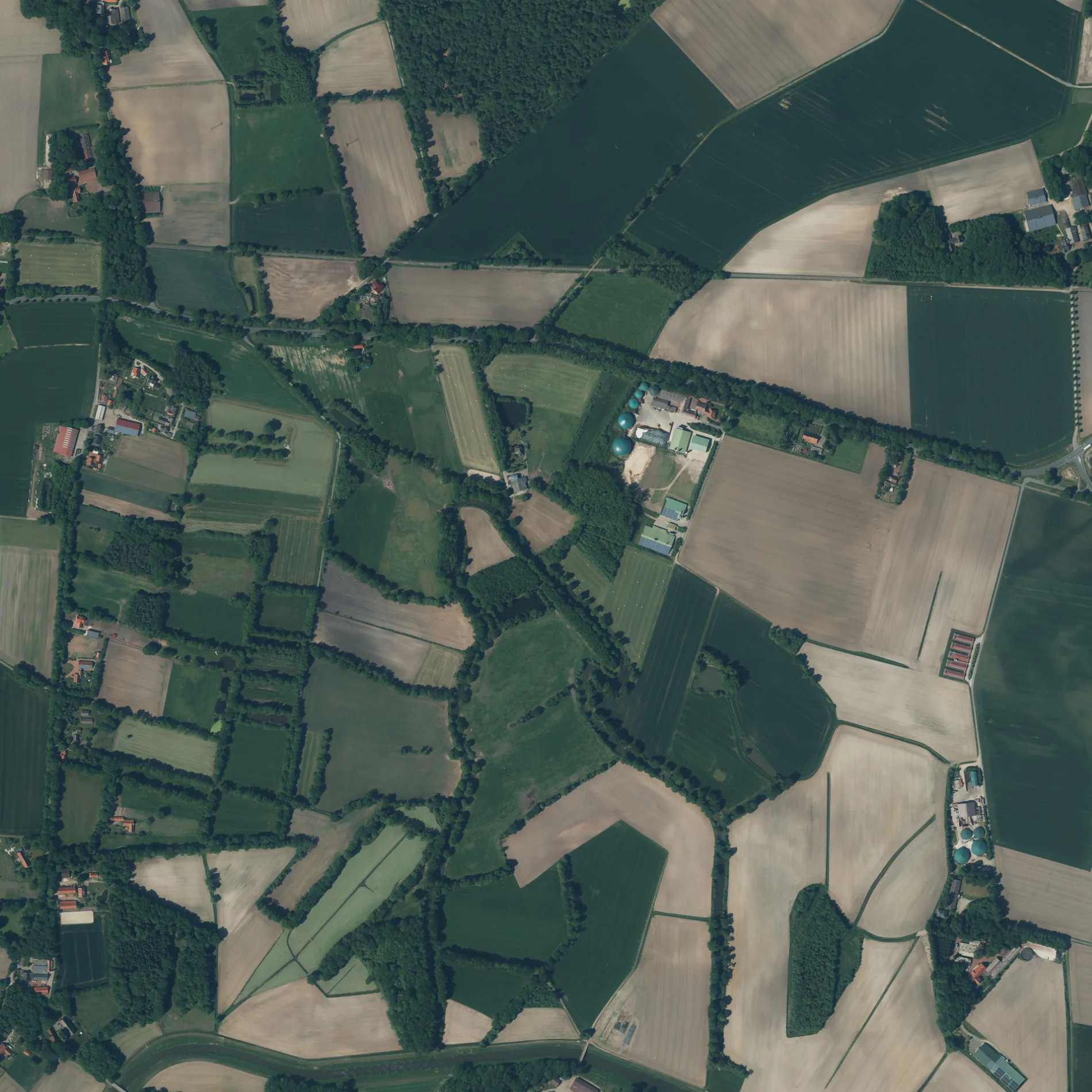
Der Fang Damm in Löningen ist ein wassergebundener Feldweg (befestigter Weg). Die nächste Haltestelle in der Nähe ist Farwick, Ort (ca. 300 m entfernt).
- Straßentyp
- Feldweg
Bild
Straßen in der Umgebung
SternbuschSternbusch, Gasthof Hemmen
350 m
Farwicker Weg500 m
Farwicker StraßeFarwick, Ort
650 m
Hageler Kirchweg850 m
Brokstreeker Straße900 m
Bunner StraßeBunner Straße, Heinrich Rolfes Transportbeton & Erdarbeiten GmbH & Co. KG - Werk Löningen
900 m
Fangweg900 m
Zum Stein900 m
Am Stau950 m
Kornfeld1,0 km
Am Altarm1,1 km
St. MichaelNeuenbunnen, Bunnen Ort, everit, Sansi GmbH
1,1 km
KammerwegBunnen, Grundschule, Grundschule
1,1 km
DorfstraßeHemmens Dressurpferde, Altenbunnen, Gasthaus Bunnen, Lübken`s Gaststätte
1,1 km
Möhlendamm1,2 km
HeckenwegLüllmann Eduard Blumen
1,2 km
An der Quebbe1,2 km
Stadtskeller1,3 km
Waldweg1,3 km
Löninger StraßeParadies
1,3 km
Schelmkapper StraßeDeutschen Kurzhaar Zwinger von Neuenbunnen, Schwarte Anika Kosmetik, Bunnen, Bokah, Bokah / Masuren, Bokah
1,3 km
Zur Mühle1,3 km
Niehaus-StraßeDeters TV - Video - Hifi - Sat - Telekom
1,3 km
Gosekamp1,4 km
Woer Ackers1,4 km
Blömerweg1,4 km
LangedammHollah
1,5 km
Melkweg1,6 km
SchlichtfeldLuna's Corner
1,6 km
Kohlbruch1,7 km
Forstweg1,7 km
Kuhdamm1,8 km
Bahnsteige in der Umgebung
Farwick, Ort300 m
Bauernhöfe in der Umgebung
Hof Große Macke950 m
Bäche in der Umgebung
mittl. Stockshagenbach800 m
Quebbe1,1 km
Oberer Stockshagenbach1,3 km
Kohlbruchbach1,7 km
Flüsse in der Umgebung
Hase600 m
Altwasser1,2 km
Gebäude in der Umgebung
Kluse Hemmens/Niemann1000 m
Gemeinschaftszentren in der Umgebung
Pfarrheim St. Michael in Bunnen1,4 km
Gewässer in der Umgebung
Altarm Bunnen1,3 km
Gotteshäuser in der Umgebung
Friedhofskapelle1,3 km
Picknickplätze in der Umgebung
Grillplatz Abeln, Bunnen1,2 km
Sporthallen in der Umgebung
Turnhalle Bunnen1,2 km
Sportplätze in der Umgebung
Kleinfeld-Fußballfeld1,2 km
Sportplatz Bunnen1,3 km
Tierheime in der Umgebung
Hagel-Hof e.V.1,1 km
 ÖPNV-Stadtplan Löningen Legende
 | Bahn | |
| Bus | |
| Straßenbahn |
 Fahrradstadtplan Löningen Legende
 | Radweg | |
| Fahrradspur auf der Fahrbahn | |
| Radfahren auf der Busspur | |
| Fahrradstraße | |
| Für Radfahrer frei | |
| Für Radfahrer frei, guter Weg | |
| Radfahren verboten | |
| Kopfsteinpflaster |
| Fernradweg | (je nach Maßstab) | |
| Fernradweg |
 Fußgängerstadtplan Löningen Legende
 | Pfad |
| Fernwanderweg | (je nach Maßstab) | |
| Fernwanderweg | ||
| Fußgänger verboten |