
Reenkamp in Essen (Oldenburg) Ahausen
Der Reenkamp in Ahausen in Essen (Oldenburg) ist ein Feldweg. Er verläuft in Südost-Nordwest-Richtung vom Stockkamp kommend und endet an Holthoke. Die nächste Bushaltestelle in der Nähe ist Sandloh (ca. 550 m entfernt).
- Straßentyp
- Feldweg
- Verlauf
- Südost-Nordwest
Bild
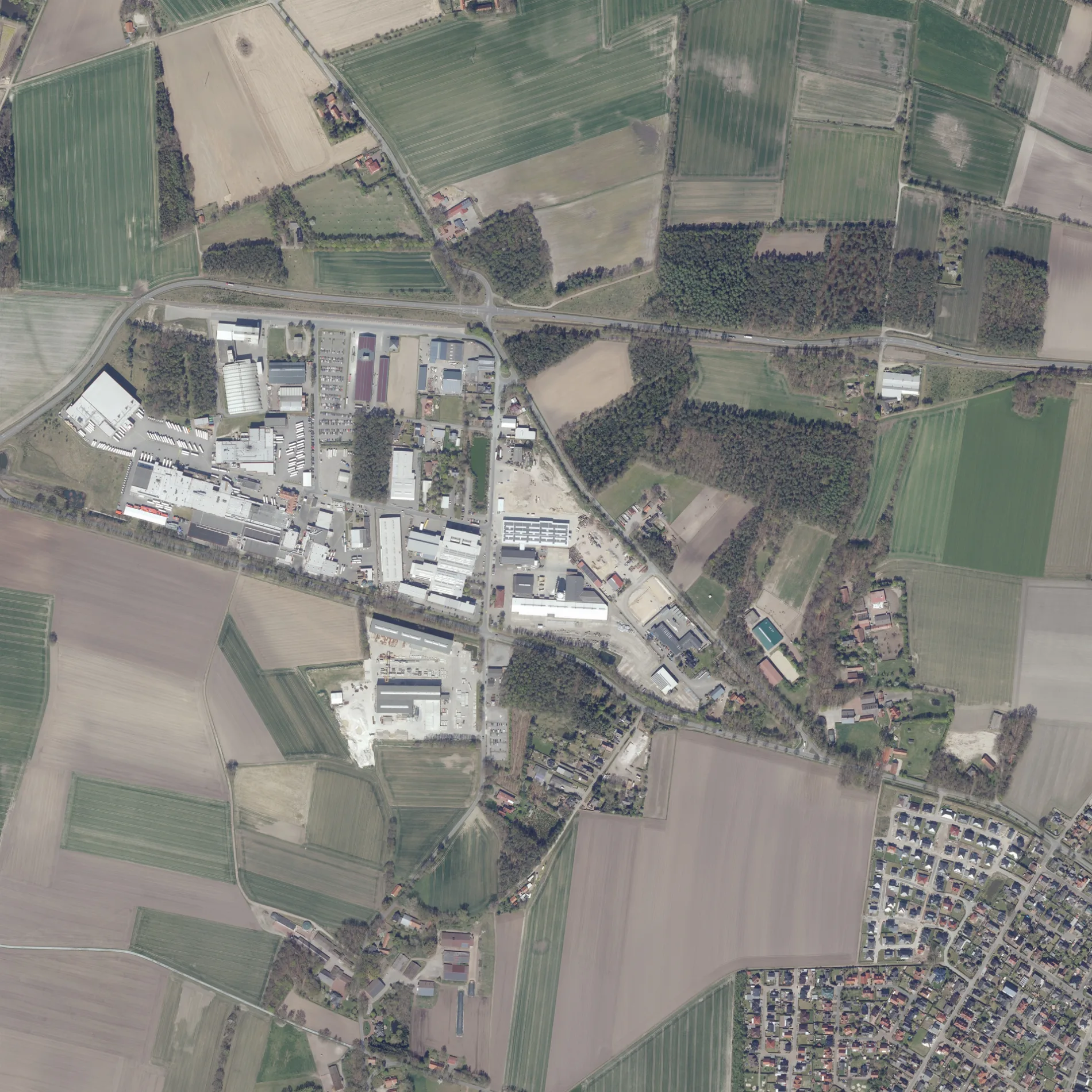
Touristeninformationen
Aussichtspunkte
Straßen in der Umgebung
Holthoke300 m
Stockkamp300 m
Am Erdkamp400 m
Schoapweg450 m
Waldstraße600 m
Hoher Kamp600 m
Forstweg700 m
Holthöge700 m
Auert750 m
Vor den Wiesen800 m
Zur Strüh850 m
Heideweg850 m
Bloumenplacken850 m
Lastruper Straße900 m
Gravenhorster WegGravenhorst
900 m
Veilchenring950 m
Tulpenring1000 m
Nordwest-Tangente1000 m
Pastorenbusch1000 m
Nelkenstraße1000 m
Dahlienstraße1,0 km
Löninger StraßeSandloh
1,0 km
Mohnstraße1,0 km
Rosenstraße1,0 km
Haferstraße1,1 km
Lilienstraße1,1 km
Auf der Hardt1,1 km
Weizenring1,1 km
Dannenkamp1,2 km
Horststraße1,2 km
AsternstraßeMaria Vahrmann
1,2 km
Alte Eschstraße1,2 km
Brinkstraße1,2 km
Ahauser StraßeCaritas Sozialstation, Marcus Aß, Dr. Thomas Revermann, Dr. med. Ute Brandenburg, Sebastian Brandenburg
1,2 km
Femeweg1,3 km
Richters Diek1,3 km
Richters Weg1,3 km
Postkamp1,3 km
Thingstraße1,4 km
Wiesenstraße1,4 km
Gerstenstraße1,4 km
Eschstraße1,4 km
Ahauser Meer1,4 km
Koppelstraße1,4 km
Alte Weide1,5 km
Eisenbahnstrecken in der Umgebung
Meppen - Essen850 m
Industriegebäude in der Umgebung
Vogelsang Maschinenbau400 m
Alfons Greten Betonwerk GmbH & Co. KG450 m
Danish Crown550 m
 ÖPNV-Stadtplan Ahausen Legende
| Bahn | |
| Bus | |
| Straßenbahn |
 Fahrradstadtplan Ahausen Legende
| Radweg | |
| Fahrradspur auf der Fahrbahn | |
| Radfahren auf der Busspur | |
| Fahrradstraße | |
| Für Radfahrer frei | |
| Für Radfahrer frei, guter Weg | |
| Radfahren verboten | |
| Kopfsteinpflaster |
| Fernradweg | (je nach Maßstab) | |
| Fernradweg |
 Fußgängerstadtplan Ahausen Legende
| Pfad |
| Fernwanderweg | (je nach Maßstab) | |
| Fernwanderweg | ||
| Fußgänger verboten |