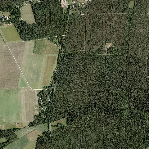
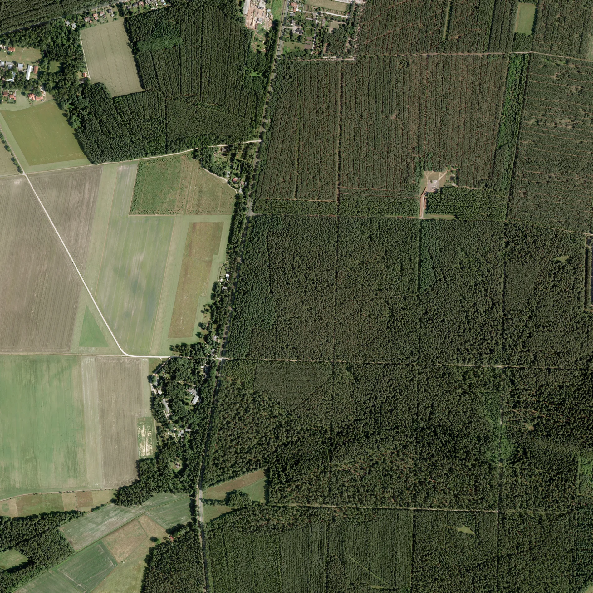
 RGB orthophoto with approx. 15 MiB in a standard resolution of 20 cm per pixel and 2 km × 2 km per tile. The file is lossy with JPEG compression (as a so-called JPEG-compressed Cloud Optimized GeoTiff (RGB)). The coordinate reference system is EPSG 25832 (ETRS89/UTM 32N). The file name reveals properties about the file: (dop20rgb: as a digital orthophoto with a sampling of 20 cm per pixel and the color channels red, green, blue, 32_376_5838 coordinates of the image, 2 for the tile dimensions in km, ni for the federal state of Lower Saxony, 2017-05-28 as the presumed date of creation (unlikely to be the publication date). – Landesamt für Geoinformation und Landesvermessung Niedersachsen (LGLN)/© GeoBasis-DE/LGLN, cc by – Wikimedia Commons
Der Waldkaterring in Celle ist eine Wohnstraße (befestigter Weg). Die nächste Haltestelle ist Hustedt, Waldkater.


 ÖPNV-Stadtplan Celle Legende
  Fahrradstadtplan Celle Legende
  Fußgängerstadtplan Celle Legende