
Hennekenmoor in Celle Garßen
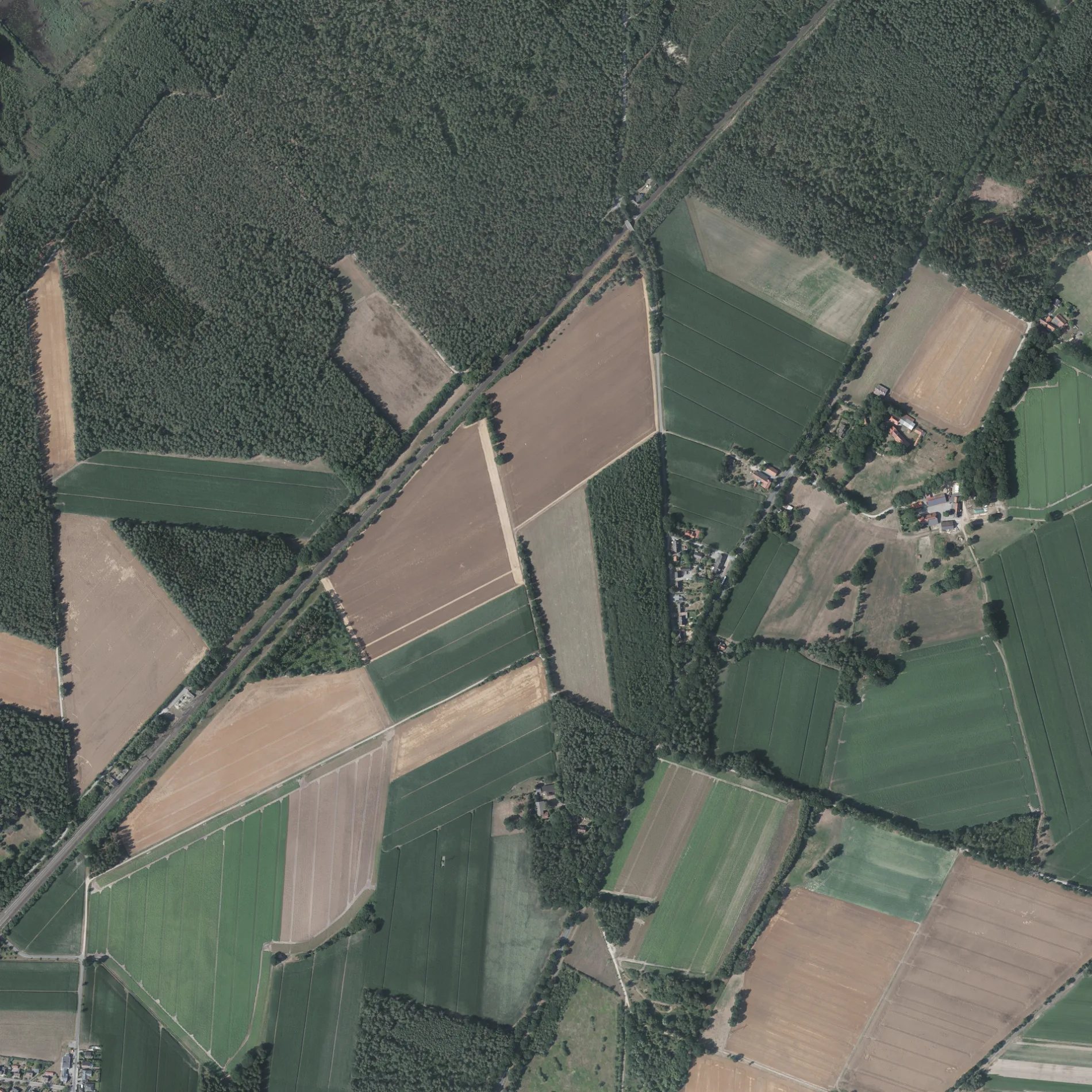
Das Hennekenmoor in Celle ist eine asphaltierte nicht klassifizierte Straße und verläuft in Südost-Nordwest-Richtung.
- Straßentyp
- nicht klassifizierte Straße
- Verlauf
- Südost-Nordwest
Bild
Autohäuser
Bushaltestellen
Straßen in der Umgebung
Stellwerksweg300 m
Brennmoor400 m
Zum Hartsteinwerk400 m
Riethkamp450 m
Alte Feldscheune700 m
Lehmkuhlenbusch850 m
Garßloh850 m
Neißestraße950 m
Warthestraße950 m
Oderstraße1000 m
Masurenstraße1000 m
Bürgermeister-Sohnemann-Straße1,0 km
Bürgermeister-Sohnemann-Platz1,0 km
Stölpmoor1,1 km
Von-Stephan-Straße1,1 km
Geibelstraße1,1 km
Purgoldstraße1,1 km
Celler Heerstraße1,2 km
Kantstraße1,2 km
Flachsberg1,2 km
Staatsmoor1,2 km
Schoopwäsche1,2 km
Wittenbergstraße1,3 km
Eickdamm1,3 km
Schinderberg1,3 km
Hamburger Weg1,3 km
Osterbergs Feld1,4 km
Gersnethe1,4 km
Im Winkel1,4 km
Koppelweg1,4 km
Grauenbarge1,4 km
Alvernsche Straße1,4 km
Quellweg1,5 km
Arztpraxen in der Umgebung
Dentzien/Bischoff1,1 km
Autoteileshops in der Umgebung
Felgnwerk1,1 km
Banken in der Umgebung
Sparkasse1,4 km
Bäckereien in der Umgebung
Misch1,5 km
Eisenbahn in der Umgebung
Garßen400 m
Garßen Gf400 m
Eisenbahnstrecken in der Umgebung
Hamburg-Hannover200 m
Hannover–Hamburg400 m
Kindergärten in der Umgebung
Krümelkiste1,4 km
Sozialeinrichtungen in der Umgebung
Seniorenheim Garßen250 m
Spielplätze in der Umgebung
Spielplatz Binsenweg1,3 km
Supermärkte in der Umgebung
Rewe1,4 km
Norma1,4 km
Tankstellen in der Umgebung
SB-Tanktreff1,3 km
Wohngebiete in der Umgebung
Blaues Land850 m
Sonstiges in der Umgebung
Unterwerk Garßen550 m
ÖPNV-Stadtplan Garßen Legende
| Bahn | |
| Bus | |
| Straßenbahn |
Fahrradstadtplan Garßen Legende
| Radweg | |
| Fahrradspur auf der Fahrbahn | |
| Radfahren auf der Busspur | |
| Fahrradstraße | |
| Für Radfahrer frei | |
| Für Radfahrer frei, guter Weg | |
| Radfahren verboten | |
| Kopfsteinpflaster |
| Fernradweg | (je nach Maßstab) | |
| Fernradweg |
Fußgängerstadtplan Garßen Legende
| Pfad |
| Fernwanderweg | (je nach Maßstab) | |
| Fernwanderweg | ||
| Fußgänger verboten |