
Teichweg in Berumbur
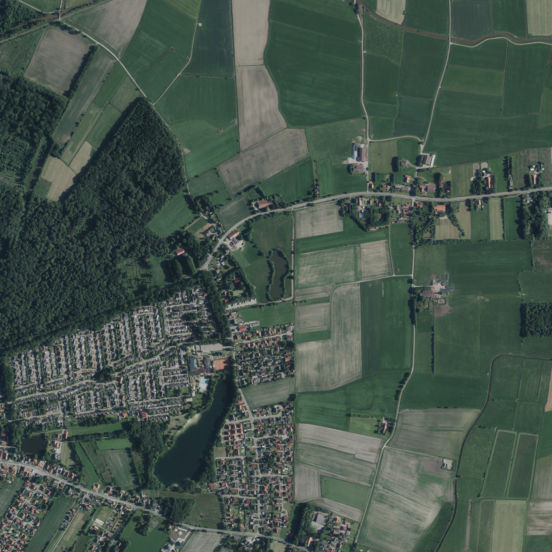
Der Teichweg in Berumbur ist eine gepflasterte Wohnstraße. Die Straße verfügt über eine Fahrbahnbreite von 3 m. Die nächste Bushaltestelle in der Nähe ist Am Starenkasten (ca. 200 m entfernt).
- Straßentyp
- Wohnstraße
Bild
Schulen
Bushaltestellen
Straßen in der Umgebung
Gänsepfad200 m
Lüch Up200 m
Schleiweg200 m
Schnepfensteg250 m
Spechthöhle250 m
Reiherhorst250 m
Eulenweg250 m
Rebhuhnweg250 m
Stintweg250 m
Am Finkenschlag250 m
Am Schwalbennest250 m
Buchenweg300 m
Taubengasse300 m
Schwanenpfad300 m
Ulmenstraße300 m
Fasanengasse300 m
HauptstraßeHauptstr./Fleu Herut, Wichter Weg, Hauptstr./Eichenstr.
350 m
Hirschwiese350 m
Brassenweg350 m
Wedig's Pad350 m
FrieslandstraßeSchwanenpfad, Schwimmbad, Am Starenkasten
350 m
Hamsterbau350 m
Reiherholt350 m
Eibenweg350 m
Kirschbaumweg350 m
Elsternweg400 m
Am Starenkasten400 m
Holzdorfer StraßePoststraße, Wiesengrund, GS Berumbur
400 m
Evers Land400 m
Ameisenpfad400 m
Drosselgasse400 m
Fuchsbau450 m
Natterpfad450 m
Auf dem Mooshügel450 m
Kiesweg450 m
Im Buchenhain450 m
Binsenweg450 m
Pferdesprung500 m
Im Schilfgürtel500 m
Fleu Herut500 m
Fischteichhörn550 m
Biddeloh600 m
Eskenleg600 m
Kiesauer TriftBerumbur
600 m
Gebäude in der Umgebung
Physiotherapie Wolbergs300 m
Geschäftsgebäude in der Umgebung
Garten- und Landschaftsbau Bohlen300 m
Gewässer in der Umgebung
Heidemanns Kuhle100 m
Berumer Kiessee400 m
Spielplätze in der Umgebung
Bolzplatz350 m
 ÖPNV-Stadtplan Berumbur Legende
 | Bahn | |
| Bus | |
| Straßenbahn |
 Fahrradstadtplan Berumbur Legende
 | Radweg | |
| Fahrradspur auf der Fahrbahn | |
| Radfahren auf der Busspur | |
| Fahrradstraße | |
| Für Radfahrer frei | |
| Für Radfahrer frei, guter Weg | |
| Radfahren verboten | |
| Kopfsteinpflaster |
| Fernradweg | (je nach Maßstab) | |
| Fernradweg |
 Fußgängerstadtplan Berumbur Legende
 | Pfad |
| Fernwanderweg | (je nach Maßstab) | |
| Fernwanderweg | ||
| Fußgänger verboten |