
Heideweg in Berumbur
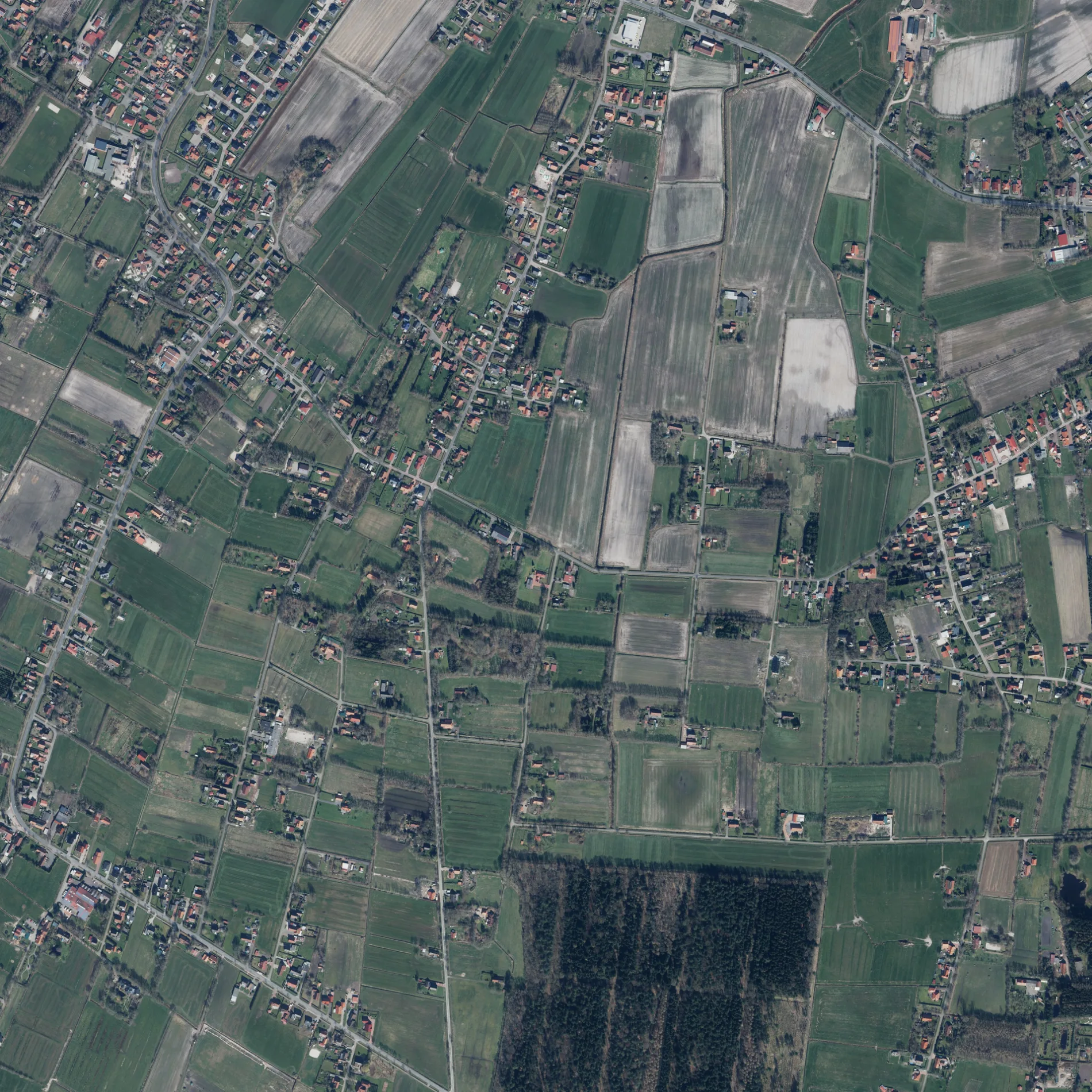
Der Heideweg in Berumbur ist eine gepflasterte Wohnstraße. Die Straße verfügt über eine Fahrbahnbreite von 4 m. Die nächste Bushaltestelle in der Nähe ist Heideweg (ca. 250 m entfernt). Einen Heideweg gibt es auch in Samtgemeinde Brookmerland.
- Straßentyp
- Wohnstraße
Bild
Schulen
Bushaltestellen
Straßen in der Umgebung
Verbindungsweg300 m
Gartenstraße350 m
Lange Straße350 m
Holtenbrück500 m
Lütje Mörken500 m
Wiesenstraße500 m
Feldkamp500 m
Hungerkamp600 m
Forstweg600 m
Holzdorfer StraßePoststraße, Wiesengrund, GS Berumbur
700 m
Roggenkamp700 m
Rosenweg750 m
Postdrift850 m
PoststraßeAlter Postweg, Kleinheide
850 m
LinienwegHeideweg, Holzdorfer Straße/Schulstraße
900 m
Erlenweg900 m
Pumpweg950 m
Königsfeld950 m
Grenzstraße950 m
Feldstraße1000 m
Kurzer Weg1000 m
Grüner Weg1000 m
Radstocksweg1,0 km
Kleeweg1,1 km
Garrelts Land1,1 km
Knapperei1,1 km
Hooge Trift1,1 km
SandlageSandlage, Erlenweg
1,2 km
Ruhrweg1,2 km
Leeglumland1,2 km
SchulstraßeHolzdorfer Straße/Schulstraße, Grundschule Berumbur
1,2 km
Kiesauer TriftBerumbur
1,2 km
Kleinheider Weg1,2 km
Pappelweg1,2 km
Waldweg1,3 km
Achterum1,3 km
Hochlumland1,3 km
Heidtrift1,3 km
Torfweg1,4 km
Klappbrücker WegKlappbrücker Weg
1,4 km
Schlicktrift1,5 km
Wiesengrund1,6 km
Bäckereien in der Umgebung
Bäckerei Schuirmann400 m
Gebäude in der Umgebung
KBV Berumbur1,2 km
Gräben in der Umgebung
Westermoordorfer Schulschloot1,4 km
Holzdorfer Zugschloot1,4 km
Kanäle in der Umgebung
Norder Tief750 m
Berumerfehnkanal1,4 km
Sportzentren in der Umgebung
Sporthalle1,3 km
 ÖPNV-Stadtplan Berumbur Legende
 | Bahn | |
| Bus | |
| Straßenbahn |
 Fahrradstadtplan Berumbur Legende
 | Radweg | |
| Fahrradspur auf der Fahrbahn | |
| Radfahren auf der Busspur | |
| Fahrradstraße | |
| Für Radfahrer frei | |
| Für Radfahrer frei, guter Weg | |
| Radfahren verboten | |
| Kopfsteinpflaster |
| Fernradweg | (je nach Maßstab) | |
| Fernradweg |
 Fußgängerstadtplan Berumbur Legende
 | Pfad |
| Fernwanderweg | (je nach Maßstab) | |
| Fernwanderweg | ||
| Fußgänger verboten |