
Hacktiller Weg in Ihlow Ihlowerfehn
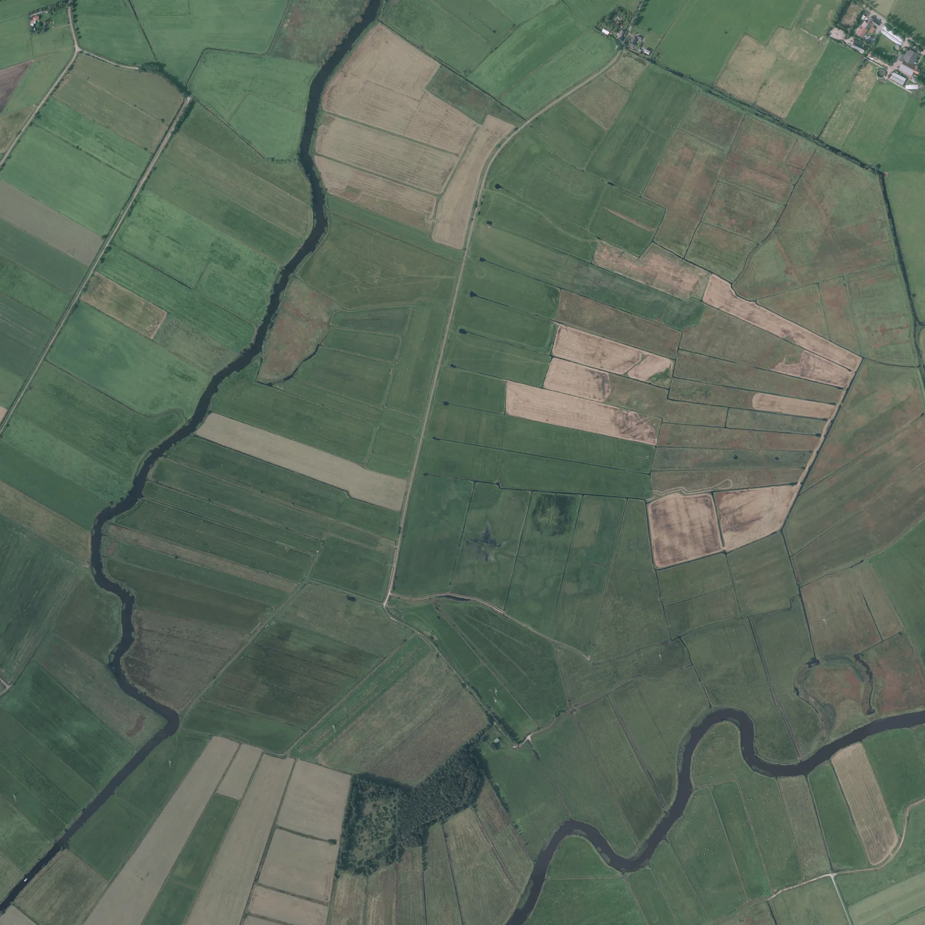
Der Hacktiller Weg in Ihlow ist eine Nebenstraße.
- Straßentyp
- Nebenstraße
Bild
Tankstellen
Supermärkte
Bushaltestellen
Bäckereien
Postfilialen
Ferienwohnungen
Apotheken
Straßen in der Umgebung
Bunkfahner Weg600 m
Footlandsweg600 m
Reithkampsweg700 m
Achtert Sandwater850 m
Schweindorfer Straße1,0 km
Bunkfahner Straße1,2 km
Hochackerweg1,4 km
Oldersumer StraßeBunkfahner Straße, Reuter, Leeger Weg
1,4 km
Ostermoorweg1,6 km
Ihlower StraßeSchweigerner Straße, Grundschule, Zum Sportzentrum, Addi's Hofkiste
1,7 km
Deefhörnweg1,8 km
Utmeedeweg1,9 km
Puddeweg2,0 km
Am Fehntjer Tief2,0 km
Krummlandsweg2,0 km
Zingelstraße2,1 km
Am Sengelsiel2,1 km
Sandmeerweg2,1 km
Strangeweg2,2 km
Weelinger Straße2,2 km
Treidelweg2,2 km
FalkenhüttenstraßeWeelinger Straße
2,3 km
Braasteree2,3 km
Ibelikenmeerstraße2,3 km
Hammweg2,3 km
Zum SportzentrumSimonswolde Kampenweg, Simonswolde Eckweg
2,3 km
Kielweg2,4 km
Suntkeland2,4 km
KlapphörnMühle, Klapphörn
2,4 km
Hüllenerfehner Straße2,4 km
Blumenstraße2,4 km
Sandhöcht2,5 km
Am Krummen Tief2,6 km
Flüsse in der Umgebung
Kattdarm Nord1,4 km
Fehntjer Tief2,3 km
Gebäude in der Umgebung
Schöpfwerk Sandwater950 m
Sandwatermühle Simonswolde1,7 km
Schöpfwerk Ayenwolde1,9 km
Mühle "Berta"2,5 km
Gewerbegebiete in der Umgebung
de Berg - Lohnunternehmen2,4 km
Gräben in der Umgebung
Molkereischloot1,8 km
Kiefgatt2,2 km
Kattdarm2,3 km
Kanäle in der Umgebung
Krummes Tief1000 m
Hüllener Wieke2,1 km
Alte Inwieke2,3 km
Naturschutzgebiete in der Umgebung
Sandwater1,5 km
Fehntjer Tief und Umgebung2,1 km
Wälder in der Umgebung
Frielings Holt1000 m
 ÖPNV-Stadtplan Ihlowerfehn Legende
 | Bahn | |
| Bus | |
| Straßenbahn |
 Fahrradstadtplan Ihlowerfehn Legende
 | Radweg | |
| Fahrradspur auf der Fahrbahn | |
| Radfahren auf der Busspur | |
| Fahrradstraße | |
| Für Radfahrer frei | |
| Für Radfahrer frei, guter Weg | |
| Radfahren verboten | |
| Kopfsteinpflaster |
| Fernradweg | (je nach Maßstab) | |
| Fernradweg |
 Fußgängerstadtplan Ihlowerfehn Legende
 | Pfad |
| Fernwanderweg | (je nach Maßstab) | |
| Fernwanderweg | ||
| Fußgänger verboten |