
Ostbrander Weg in Großheide Westerende
Der Ostbrander Weg in Großheide ist eine Nebenstraße. Die nächste Bushaltestelle in der Nähe ist L6/Bentswaller Weg (ca. 650 m entfernt).
- Straßentyp
- Nebenstraße
Bild
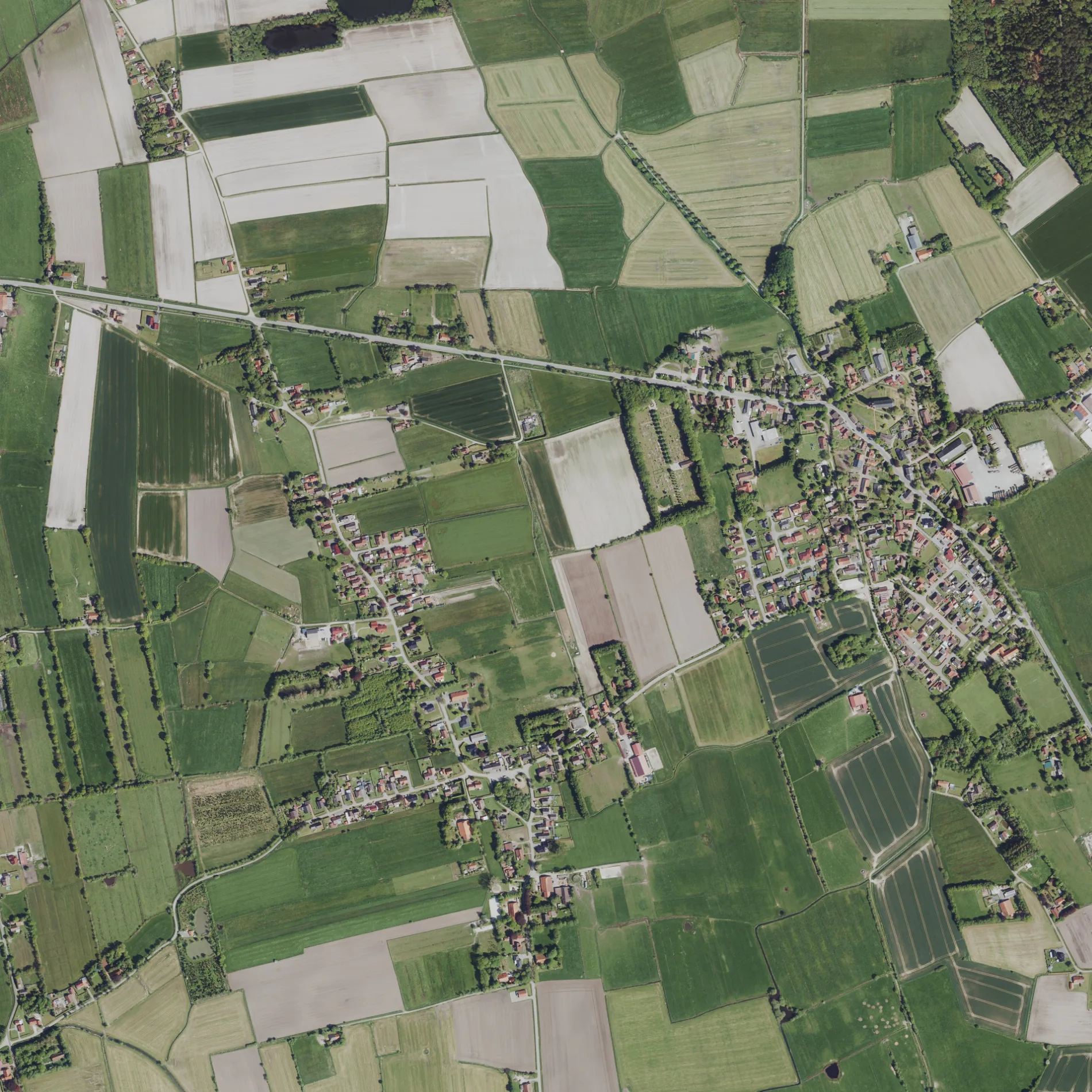
Straßen in der Umgebung
Brandjeweg300 m
Mittelweg300 m
Holtackers500 m
Bentswaller Weg550 m
KlosterwegKlosterweg/Strücker Weg, Holdeweg/Klosterweg, Mensteder Weg
550 m
Sandweg550 m
Am Büscherkamp600 m
Tunackers600 m
Westerbrander Weg800 m
AchterumswegMenstede
800 m
Maanweg800 m
Arler StraßeL6/Bentswaller Weg, L6/Kirche, Arler Straße/Friedhof, L6/Süderkampen, Komper Kleen
900 m
Steener950 m
Pergmoor1000 m
Holdeweg1000 m
Hofweg1,0 km
Bürgermeister-Oldewurtel-StraßeBgm.-Oldewurtel-Straße
1,0 km
Mensteder WegPuppen und Bären Cafe
1,1 km
Hasenweg1,1 km
SchleenSchleen
1,2 km
Tundjekampen1,2 km
Kuperkamp1,3 km
Donnersweg1,3 km
Kölker Weg1,3 km
Strücker Weg1,4 km
Klosterlander Weg1,4 km
Huckstede1,4 km
Hielweg1,4 km
Hinterlohne1,4 km
Nordweg1,4 km
Terhaller WegTerhalle
1,4 km
Westerender StraßeLiebermann, Westerende Ort, L6/Brandjeweg, Westerende, L6/Donnersweg
1,5 km
Brockackers1,5 km
Fenneweg1,5 km
Blandorfer Straße1,8 km
Peerhamsweg1,8 km
Lüttje Pad1,9 km
Coldinner StraßeGroons Gaststuuv, Coldinner Straße 4, ALDI Nord, Netto Marken-Discount
1,9 km
Teefelsweg1,9 km
Wiesenweg1,9 km
Bauernhöfe in der Umgebung
Biogas Anlage Großheide1,8 km
Bekleidungsgeschäfte in der Umgebung
Textil Blumenfeld1,8 km
Feuerwachen in der Umgebung
Freiwillige Feuerwehr Arle1,3 km
Gebäude in der Umgebung
Vereinsheim und Halle 11,2 km
Halle 21,3 km
Kanäle in der Umgebung
Norder Tief1,8 km
Pensionen in der Umgebung
Ferienhof Wäcken1,1 km
Sportplätze in der Umgebung
Sportplatz850 m
Reitplatz - Reit- und Fahrverein Westerende e.V.1,1 km
 ÖPNV-Stadtplan Westerende Legende
 | Bahn | |
| Bus | |
| Straßenbahn |
 Fahrradstadtplan Westerende Legende
 | Radweg | |
| Fahrradspur auf der Fahrbahn | |
| Radfahren auf der Busspur | |
| Fahrradstraße | |
| Für Radfahrer frei | |
| Für Radfahrer frei, guter Weg | |
| Radfahren verboten | |
| Kopfsteinpflaster |
| Fernradweg | (je nach Maßstab) | |
| Fernradweg |
 Fußgängerstadtplan Westerende Legende
 | Pfad |
| Fernwanderweg | (je nach Maßstab) | |
| Fernwanderweg | ||
| Fußgänger verboten |