
Totengasse in Feldatal Stumpertenrod
Die Totengasse in Feldatal ist eine asphaltierte Wohnstraße. Die nächste Bushaltestelle in der Nähe ist Stumpertenrod (ca. 100 m entfernt).
- Straßentyp
- Wohnstraße
Bild
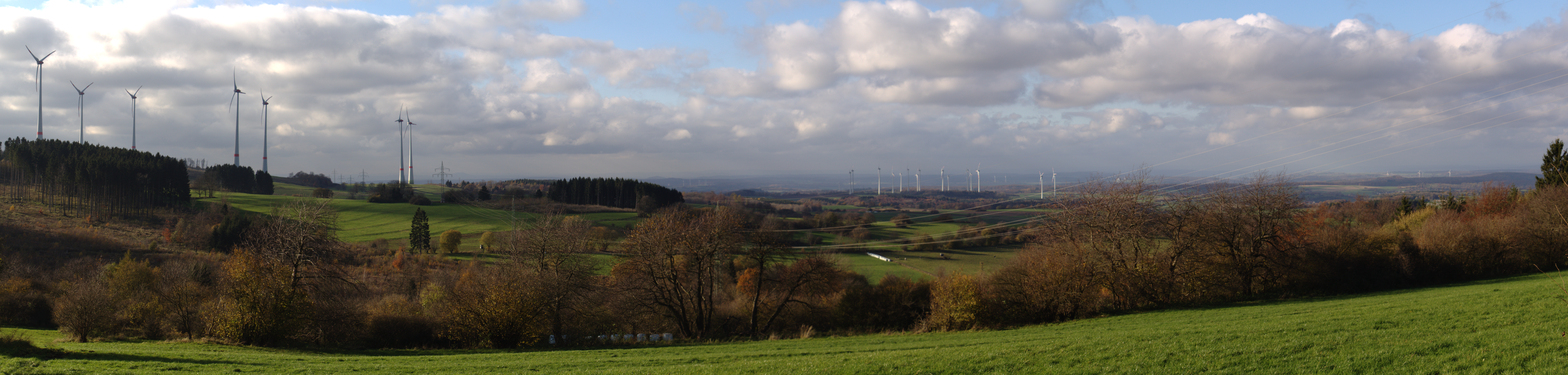
Touristeninformationen
Straßen in der Umgebung
Kirchgasse50 m
An der Kirche100 m
MittelgasseStumpertenrod
150 m
Ulrichsteiner StraßeStumpertenrod, Edeka
200 m
Hintergasse250 m
Breitenweg250 m
Heiligenweg250 m
Sackgasse300 m
Im Unterdorf350 m
Am Teich450 m
Gartenweg500 m
Hauswiesenweg550 m
Pappelweg600 m
Hangelsbergweg2,0 km
Am Bornrain2,0 km
Borneck2,0 km
Nebenstraße2,0 km
Am Pflaster2,0 km
Im Kälberhof2,1 km
Talweg2,1 km
Helpershainer StraßeKöddingen, Tierarztpraxis Köddingen, DRK Ortsvereinigung Köddingen, Elektro Sauer
2,1 km
Sandgasse2,1 km
Vogelsbergweg2,1 km
Lehmkaute2,1 km
Kirchenhübel2,1 km
Raiffeisenplatz2,1 km
Alter Bergweg2,2 km
Meicheser Straße2,2 km
Windhäuser Straße2,2 km
Im Burggarten2,3 km
RingstraßeKnickschussbar
2,3 km
Mittelweg2,3 km
Auf den Biegen2,3 km
Eckertsberg2,3 km
Mühlhof2,3 km
Bäche in der Umgebung
Gronzbach800 m
Trockenauer Bach1,6 km
Einrichtungen in der Umgebung
DRK Rettungswache Köddingen2,0 km
Friedhöfe in der Umgebung
Friedhof Stumpertenrod250 m
Friedhof Köddingen2,2 km
Gebäude in der Umgebung
Waltersche Mühle250 m
Schützenhaus850 m
Zimmerei Reinhold Rühl2,0 km
Freizeitanlage Köddingen2,1 km
Gemeinschaftszentren in der Umgebung
Dorfgemeinschaftshaus2,2 km
Gemischtwarenläden in der Umgebung
Iris Scharmann Gemischtwaren Lebensmittel2,1 km
Grasflächen in der Umgebung
Sternenwelt Vogelsberg e.V.750 m
Industriegebäude in der Umgebung
PLURAMEX Metallbau Hans Tuppi2,3 km
Parks in der Umgebung
Stumpertenröder Mini Park650 m
 ÖPNV-Stadtplan Stumpertenrod Legende
 | Bahn | |
| Bus | |
| Straßenbahn |
 Fahrradstadtplan Stumpertenrod Legende
 | Radweg | |
| Fahrradspur auf der Fahrbahn | |
| Radfahren auf der Busspur | |
| Fahrradstraße | |
| Für Radfahrer frei | |
| Für Radfahrer frei, guter Weg | |
| Radfahren verboten | |
| Kopfsteinpflaster |
| Fernradweg | (je nach Maßstab) | |
| Fernradweg |
 Fußgängerstadtplan Stumpertenrod Legende
 | Pfad |
| Fernwanderweg | (je nach Maßstab) | |
| Fernwanderweg | ||
| Fußgänger verboten |