Kartogiraffe.de

Akazienweg in Mixdorf
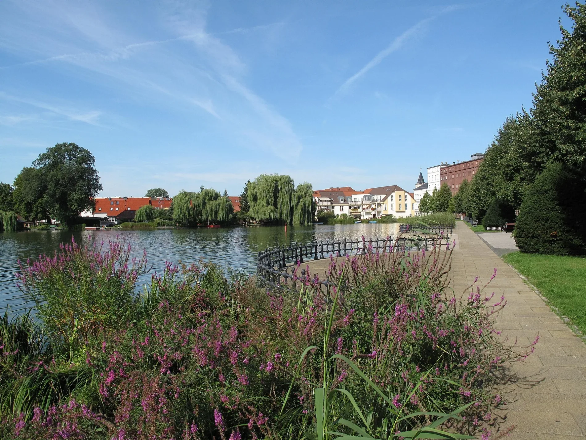
Lake promenade at the northern bank of the Großer Müllroser See in Müllrose. The lake is situated between the town Müllrose in the north and the municipality Mixdorf in the south in the District Oder-Spree, Brandenburg, Germany. The lake covers 1,32 km² and is a part of the Schlaube Valley Nature Park.
Lake promenade at the northern bank of the Großer Müllroser See in Müllrose. The lake is situated between the town Müllrose in the north and the municipality Mixdorf in the south in the District Oder-Spree, Brandenburg, Germany. The lake covers 1,32 km² and is a part of the Schlaube Valley Nature Park. – Lienhard Schulz, cc by-sa – Wikimedia Commons
Der Akazienweg in Mixdorf ist ein Fußweg. Die nächste Haltestelle in der Nähe ist Mixdorf, Dorf (ca. 250 m entfernt). Einen Akazienweg gibt es auch in Müllrose.

Bibliotheken in Mixdorf

  • 📚 Fahrbibliothek Oder-Spree - Mixdorf ist eine Bibliothek (Träger: Landkreis Oder-Spree, Öffnungszeiten: Mi 18–18:30 " Uhr; alle 4 Wochen" Uhr) in der Dorfstraße (15299) 🌐 – ca. 300 m 🗺.

Feuerwachen in Mixdorf

  • 🚒 Freiwillige Feuerwehr Mixdorf ist eine Feuerwache – ca. 400 m 🗺.

Touristeninformationen in Mixdorf

  • ℹ️ Schule ist eine Touristeninformation – ca. 400 m 🗺.
  • ℹ️ Aus der Geschichte von Kupferhammer ist eine Touristeninformation – ca. 2200 m 🗺.

Picknickplätze in Mixdorf

  • 🧺 Rastplatz Mäanderblick ist ein Picknickplatz – ca. 2100 m 🗺.

Kartenmarkierung Akazienweg

Straßentyp
Fußweg
ÖPNV-Stadtplan ÖPNV-Stadtplan Mixdorf Legende
Bahn
Bus
Straßenbahn
Fahrradstadtplan Fahrradstadtplan Mixdorf Legende
Radweg
Fahrradspur auf der Fahrbahn
Radfahren auf der Busspur
Fahrradstraße
Für Radfahrer frei
Für Radfahrer frei, guter Weg
Radfahren verboten
Kopfsteinpflaster
Fernradweg (je nach Maßstab)
Fernradweg
Fußgängerstadtplan Fußgängerstadtplan Mixdorf Legende
Pfad
Fernwanderweg (je nach Maßstab)
Fernwanderweg
Fußgänger verboten