
Alte Steige in Winterhausen
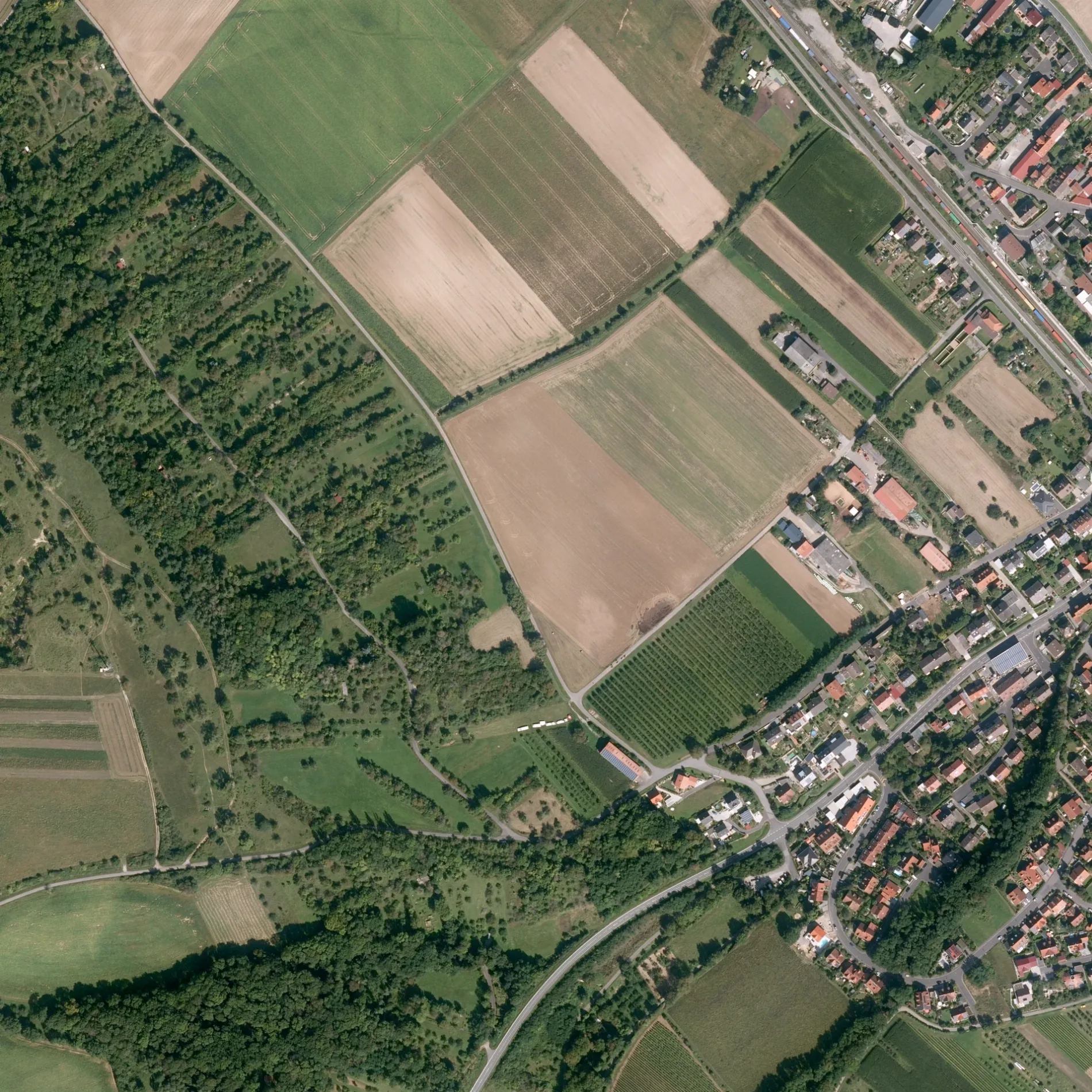
Alte Steige in Winterhausen ist eine Wohnstraße (30 km/h). Diese Straße liegt an der Fahrradroute „ 🔗" sowie den Wanderwegen Heuchelhof - Ochsenfurt, Fränkischer Marienweg Route 3 und Muschelkalkweg Winterhausen. In der Umgebung befindet sich eine Feuerwache. Die nächste Haltestelle in der Nähe ist Winterhausen (ca. 500 m entfernt). Alte Steige gibt es auch in Estenfeld (VGem).
- Straßentyp
- Wohnstraße
- Höchstgeschwindigkeit
- 30
Bild
Feuerwachen
Straßen in der Umgebung
An der LängHofladen Familie Trunk
100 m
Uptalstraße100 m
SchönleitePorta Luna
150 m
Am Hohlweg200 m
Leitenweg400 m
Am Walch450 m
HeigernGetränke Trunk
450 m
SchützenwegWinterhausen
450 m
Am Stiegel500 m
Bucksweg550 m
BierkellerMondsch(t)ein-Serenade
550 m
Fuchsstadter StraßeBürgerhaus
550 m
Kirchberg550 m
RathausplatzWinterhausen, Rathausplatz und Kirchberg
600 m
Schulhof600 m
BahnbergP+R Bahnhof, Schreinerei Lignum
600 m
Hauptstraße650 m
Hintere Gasse650 m
Goßmannsdorfer Straße650 m
BrückenrainSteinhauerweg
650 m
Äußere Gasse650 m
Alte BrückenstraßeBäckerei Fuchs
650 m
Mittlere Gasse650 m
Häckergasse700 m
Rosenweg700 m
Gänglein700 m
Sportplatzweg700 m
Scheinsbergweg700 m
Dözel750 m
Lange Gasse750 m
KirchgasseTheater Sommerhaus
750 m
MaingasseStöcklein´s Wirtshaus
750 m
Obere Hofstatt750 m
Heidingsfelder StraßeFW-Metalltechnik, Rottenbauer
750 m
Fährweg750 m
Wiesenweg800 m
Untere HofstattMusikkapelle Winterhausen
800 m
MauritiusplatzRund um den Mauritiusplatz
800 m
Hirtenweg800 m
Moritzgässlein800 m
Bahnsteige in der Umgebung
Winterhausen500 m
Biergärten in der Umgebung
Biergarten am Main in Winterhausen800 m
Gebäude in der Umgebung
Schützenhaus500 m
Aussegnungshalle600 m
Kantorat600 m
Theater Sommerhaus Foyer750 m
Alte Brücke750 m
Gotteshäuser in der Umgebung
St. Nikolaus550 m
Rathäuser in der Umgebung
Rathaus600 m
 ÖPNV-Stadtplan Winterhausen Legende
 | Bahn | |
| Bus | |
| Straßenbahn |
 Fahrradstadtplan Winterhausen Legende
 | Radweg | |
| Fahrradspur auf der Fahrbahn | |
| Radfahren auf der Busspur | |
| Fahrradstraße | |
| Für Radfahrer frei | |
| Für Radfahrer frei, guter Weg | |
| Radfahren verboten | |
| Kopfsteinpflaster |
| Fernradweg | (je nach Maßstab) | |
| Fernradweg |
 Fußgängerstadtplan Winterhausen Legende
 | Pfad |
| Fernwanderweg | (je nach Maßstab) | |
| Fernwanderweg | ||
| Fußgänger verboten |