
Schnippenhütte in Bad Hindelang
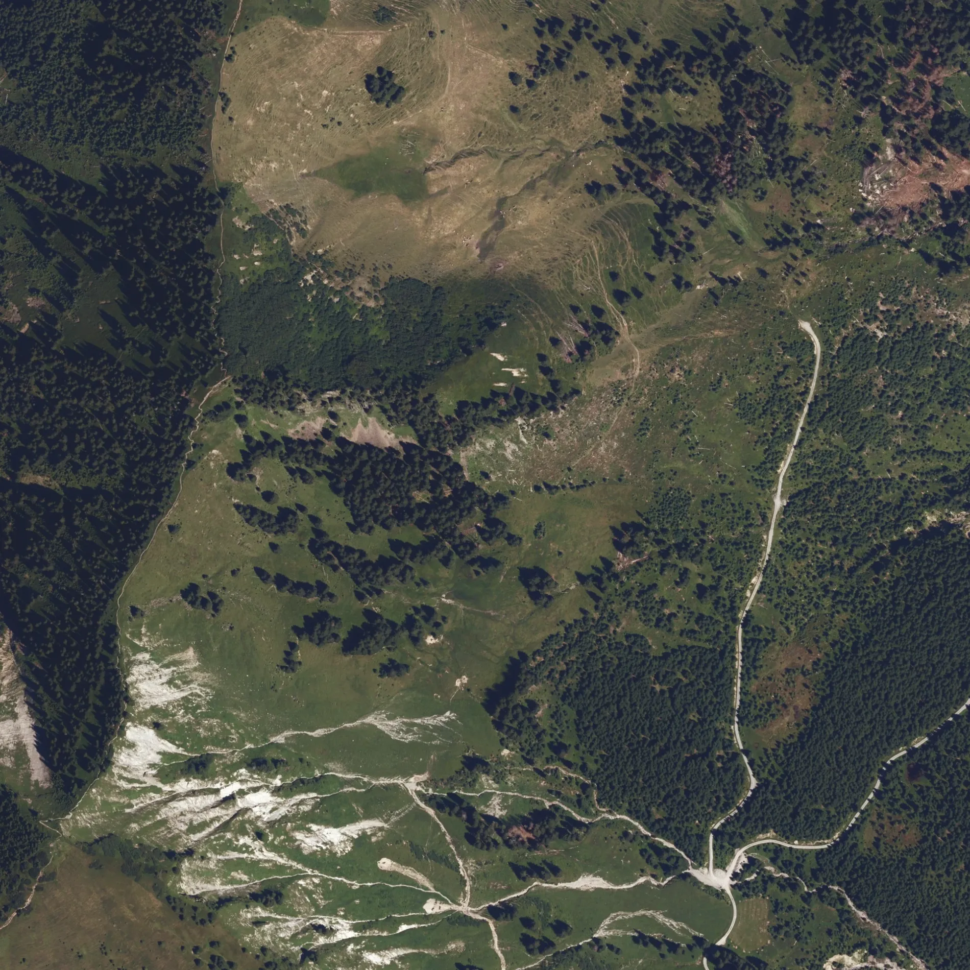
 Normale Karte
Hofläden in Bad Hindelang
Touristeninformationen in Bad Hindelang
- ℹ️ Mitterhaus ist eine Touristeninformation – ca. 1700 m 🗺.
- ℹ️ M. Haseneck-A. ist eine Touristeninformation – ca. 3000 m 🗺.
- ℹ️ Rautbrücke ist eine Touristeninformation – ca. 3000 m 🗺.
- ℹ️ Häbelesgund ist eine Touristeninformation – ca. 3300 m 🗺.
- ℹ️ Retterschwang ist eine Touristeninformation – ca. 3600 m 🗺.
- ℹ️ Naturschutzgebiet Allgäuer Hochaplen ist eine Touristeninformation – ca. 3600 m 🗺.
- ℹ️ Wald im Wandel ist eine Touristeninformation – ca. 3700 m 🗺.
- ℹ️ Hinter der Kehle ist eine Touristeninformation – ca. 3900 m 🗺.
- ℹ️ Rw. Burgschrofen ist eine Touristeninformation – ca. 4200 m 🗺.
- ℹ️ Burgschrofen ist eine Touristeninformation – ca. 4300 m 🗺.
- ℹ️ Sponsoren ist eine Touristeninformation – ca. 4300 m 🗺.
- ℹ️ Burgschrofen ist eine Touristeninformation – ca. 4300 m 🗺.
Kunstwerke in Bad Hindelang
- 🗿 Pfeifen ist eine Installation – ca. 4300 m 🗺.
Aussichtspunkte in Bad Hindelang
- 🔭 Burgschrofen ist ein Aussichtspunkt – ca. 4300 m 🗺.

 ÖPNV-Stadtplan Bad Hindelang Legende
 | Bahn | |
| Bus | |
| Straßenbahn |
 Fahrradstadtplan Bad Hindelang Legende
 | Radweg | |
| Fahrradspur auf der Fahrbahn | |
| Radfahren auf der Busspur | |
| Fahrradstraße | |
| Für Radfahrer frei | |
| Für Radfahrer frei, guter Weg | |
| Radfahren verboten | |
| Kopfsteinpflaster |
| Fernradweg | (je nach Maßstab) | |
| Fernradweg |
 Fußgängerstadtplan Bad Hindelang Legende
 | Pfad |
| Fernwanderweg | (je nach Maßstab) | |
| Fernwanderweg | ||
| Fußgänger verboten |