
Spitzwegstraße in Teublitz
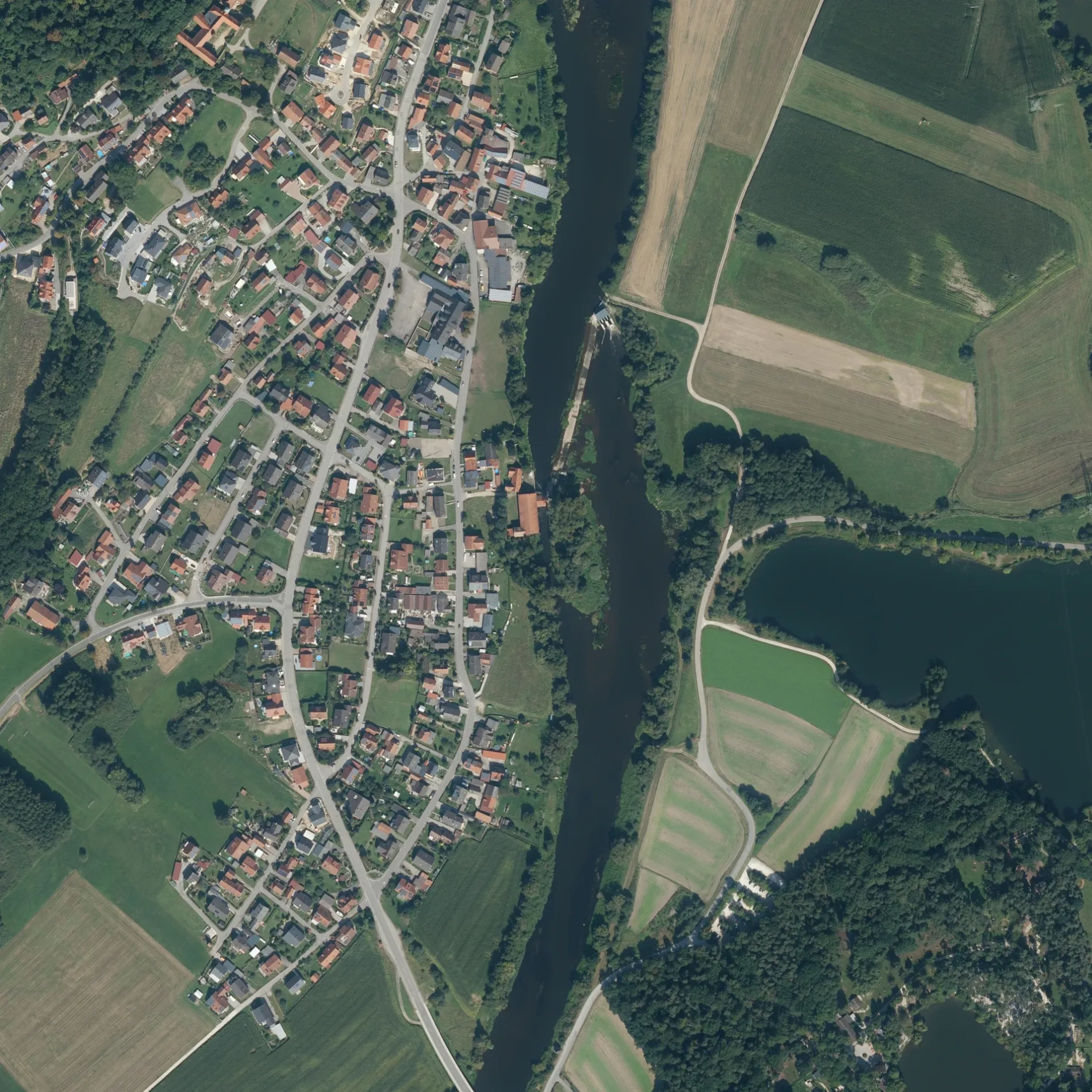
Die Spitzwegstraße in Teublitz ist eine asphaltierte Wohnstraße. Die nächste Bushaltestelle in der Nähe ist Münchshofen, Ortsmitte (ca. 100 m entfernt). Eine Spitzwegstraße gibt es auch in Maxhütte-Haidhof.
- Straßentyp
- Wohnstraße
Bild
Touristeninformationen
Gotteshäuser
Schnellrestaurants
Sehenswürdigkeiten
Straßen in der Umgebung
Rubensstraße100 m
BrunnenstraßeMünchshofen, Brunnenstr.
100 m
Brunnäcker100 m
Lukas-Cranach-Straße200 m
UferstraßeMünchshofen, Abzw. Uferstraße, Münchshofen
200 m
JurastraßeMünchshofen, Ortsmitte
250 m
Armannspergstraße250 m
Adolph-Kolping-Straße250 m
Wirthswiese300 m
Bergstraße300 m
SchloßstraßeSchloßkirche Münchshofen
350 m
Am Herrnberg350 m
Pachnerstraße450 m
Hans-Holbein-Straße450 m
Albrecht-Dürer-StraßeMünchshofen, Abzw. Uferstr.
500 m
Am WildparkMünchshofen, Brücke, Voliere mit Schauteich, Ziervögel, Rebhühner, Schautafel Rote Waldameise, Esel
550 m
Am Haferbründl600 m
St.-Martin-StraßePremberg, Am Haferbründl, Premberg, Premberg, Wh
800 m
Münchshofener StraßeDr. med.dent. Johannes Kirschneck, Facharztpraxis Allgemeinmedizin Marko Pfaff & Eike Haas, Metzgerei Wilhelm, Münchshofen, Brücke
900 m
Pfad der PoesieFeuchtbiotop
1000 m
RötlsteinstraßeSaltendorf an der Naab, Saltendorf, Schule, Saltendorf, Feuerwehr
1,1 km
Friedrich-Ebert-Straße1,1 km
Richtstraße1,1 km
Brandlohstraße1,2 km
Angerstraße1,2 km
Kurt-Schumacher-Straße1,2 km
Rudolf-Harbig-Straße1,2 km
SalzstraßePremberg, Brücke, Dorfstodl
1,3 km
ErlenstraßeSaltendorf, Getränke Hausler
1,3 km
Ludwig-Thoma-Straße1,3 km
Hans-Sachs-Straße1,4 km
Schillerstraße1,4 km
Feuerwachen in der Umgebung
Feuerwehr Münchshofen350 m
Feuerwehr Premberg1,4 km
Flüsse in der Umgebung
Naab400 m
Gebäude in der Umgebung
Schloss Münchshofen450 m
Pegel Münchshofen650 m
Hebewerk700 m
Gasreduzierstation800 m
Aufseherhaus850 m
Schützenheim1,1 km
Wasserwacht Teublitz1,3 km
Gewässer in der Umgebung
Naturbad Kleiner Strebelweiher1,3 km
Gotteshäuser in der Umgebung
Haferbründl600 m
St. Martin1,4 km
Kindergärten in der Umgebung
AWO Kinderhaus Rappelkiste1,0 km
Sportplätze in der Umgebung
Eisstockbahn1,1 km
Zoos in der Umgebung
Wild- und Freizeitpark Höllohe1,2 km
Überdachte Bereiche in der Umgebung
Vogelvoliere750 m
 ÖPNV-Stadtplan Teublitz Legende
 | Bahn | |
| Bus | |
| Straßenbahn |
 Fahrradstadtplan Teublitz Legende
 | Radweg | |
| Fahrradspur auf der Fahrbahn | |
| Radfahren auf der Busspur | |
| Fahrradstraße | |
| Für Radfahrer frei | |
| Für Radfahrer frei, guter Weg | |
| Radfahren verboten | |
| Kopfsteinpflaster |
| Fernradweg | (je nach Maßstab) | |
| Fernradweg |
 Fußgängerstadtplan Teublitz Legende
 | Pfad |
| Fernwanderweg | (je nach Maßstab) | |
| Fernwanderweg | ||
| Fußgänger verboten |