
Pentlhofstraße in Landkreis Regensburg
Die Pentlhofstraße in Landkreis Regensburg ist eine asphaltierte Wohnstraße.
- Straßentyp
- Wohnstraße
Bild
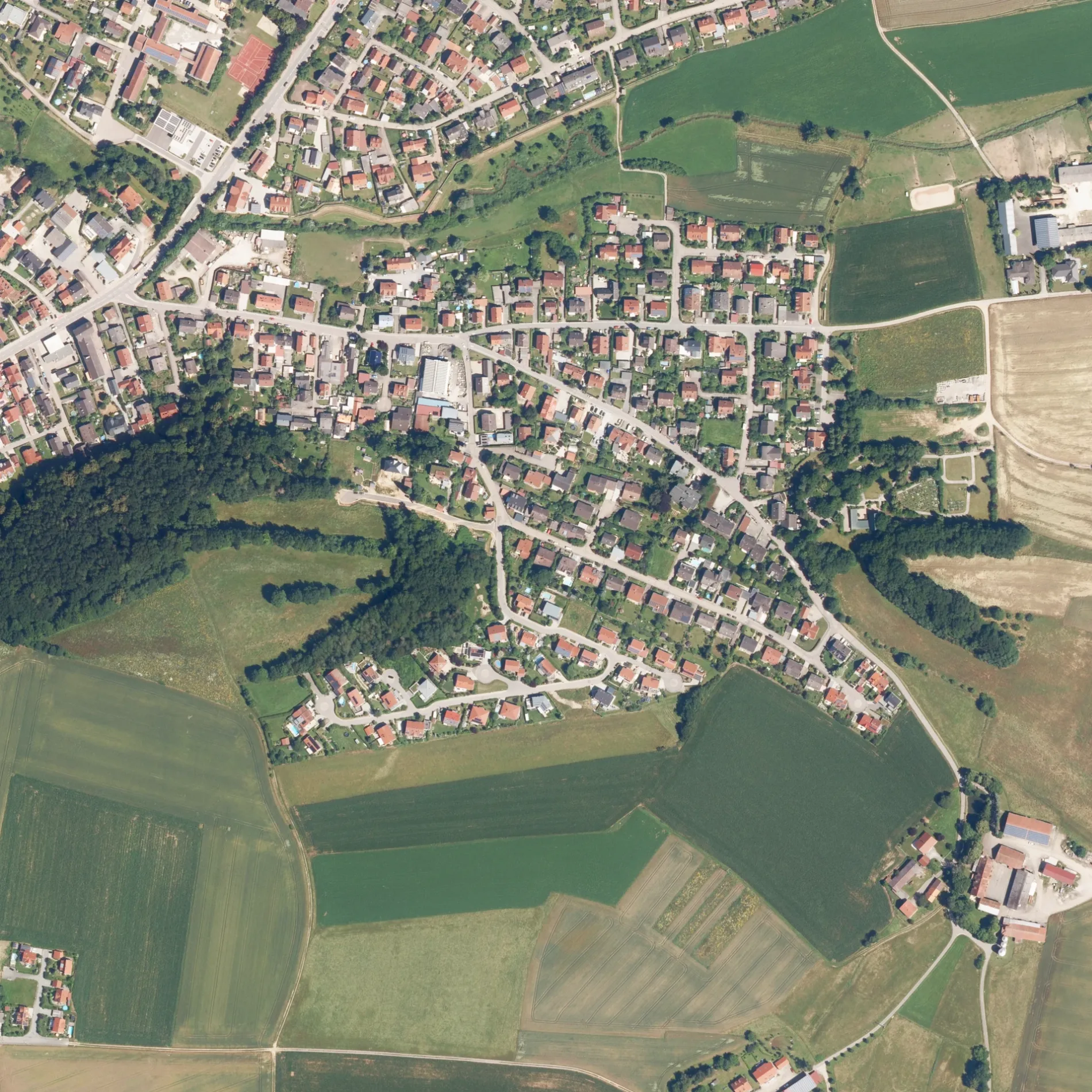
Straßen in der Umgebung
Hopfenweg400 m
Am Gedersberg450 m
Schlehenweg450 m
Wacholderweg450 m
Holunderweg500 m
Siebenbürger Straße500 m
Traubenweg550 m
Am Steinbruch550 m
Am Wenzenbach650 m
Meisenweg700 m
Schwalbenweg800 m
Drosselgasse800 m
Reichenberger Straße800 m
Sudetenstraße850 m
ÖdenthalÖdenthal
900 m
Aussiger Straße900 m
Karlsbader Straße900 m
Falkenauer Straße900 m
Finkenweg900 m
Troppauer Straße950 m
Altvaterstraße950 m
Brunnholzweg950 m
Ödenthaler Weg1000 m
Ödenthaler Straße1000 m
Jägerndorfer Straße1000 m
Zum Weinberg1000 m
Pentlbergweg1000 m
Schwandorfer StraßeNeuhof Gem. Zeitlarn, Zeitlarn Mitterfeld, Zeitlarn Hochstetten, Regendorf, Zeitlarn Siedlung
1000 m
Marienbader Straße1000 m
Iglauer Straße1,1 km
Am Vogelberg1,1 km
Eschenbacher StraßeHändlmaier Werksverkauf
1,2 km
Lichtenfelser Straße1,2 km
Zeitlarner WegHaslbach, Nabburger Straße
1,3 km
Bürogebäude in der Umgebung
MR - Ausbildungszentrum1,1 km
Deponien in der Umgebung
Abraum850 m
Deponie950 m
Freizeitgelände in der Umgebung
Jugendfreizeitstätte Haslbach900 m
Friedhöfe in der Umgebung
Friedhof350 m
Geschäftsgebäude in der Umgebung
Götz Gerüstbau GmbH1,2 km
„Meine Gold-Burg“1,2 km
Luise Händlmaier GmbH1,2 km
Haber & Brandner GmbH1,2 km
Pental Metallbau GmbH1,3 km
Gestrüppe in der Umgebung
Säureharzdeponie950 m
Industriegebäude in der Umgebung
Reinhausen Plasma GmbH1,2 km
Kindergärten in der Umgebung
Zeitlarner Bienenstock1,0 km
Küchenstudios in der Umgebung
homeier küchentechnik GmbH1,2 km
Steinbrüche in der Umgebung
Tongrube Gut Pentlhof450 m
 ÖPNV-Stadtplan Landkreis Regensburg Legende
 | Bahn | |
| Bus | |
| Straßenbahn |
 Fahrradstadtplan Landkreis Regensburg Legende
 | Radweg | |
| Fahrradspur auf der Fahrbahn | |
| Radfahren auf der Busspur | |
| Fahrradstraße | |
| Für Radfahrer frei | |
| Für Radfahrer frei, guter Weg | |
| Radfahren verboten | |
| Kopfsteinpflaster |
| Fernradweg | (je nach Maßstab) | |
| Fernradweg |
 Fußgängerstadtplan Landkreis Regensburg Legende
 | Pfad |
| Fernwanderweg | (je nach Maßstab) | |
| Fernwanderweg | ||
| Fußgänger verboten |