
Wunsiedler Straße in Thiersheim
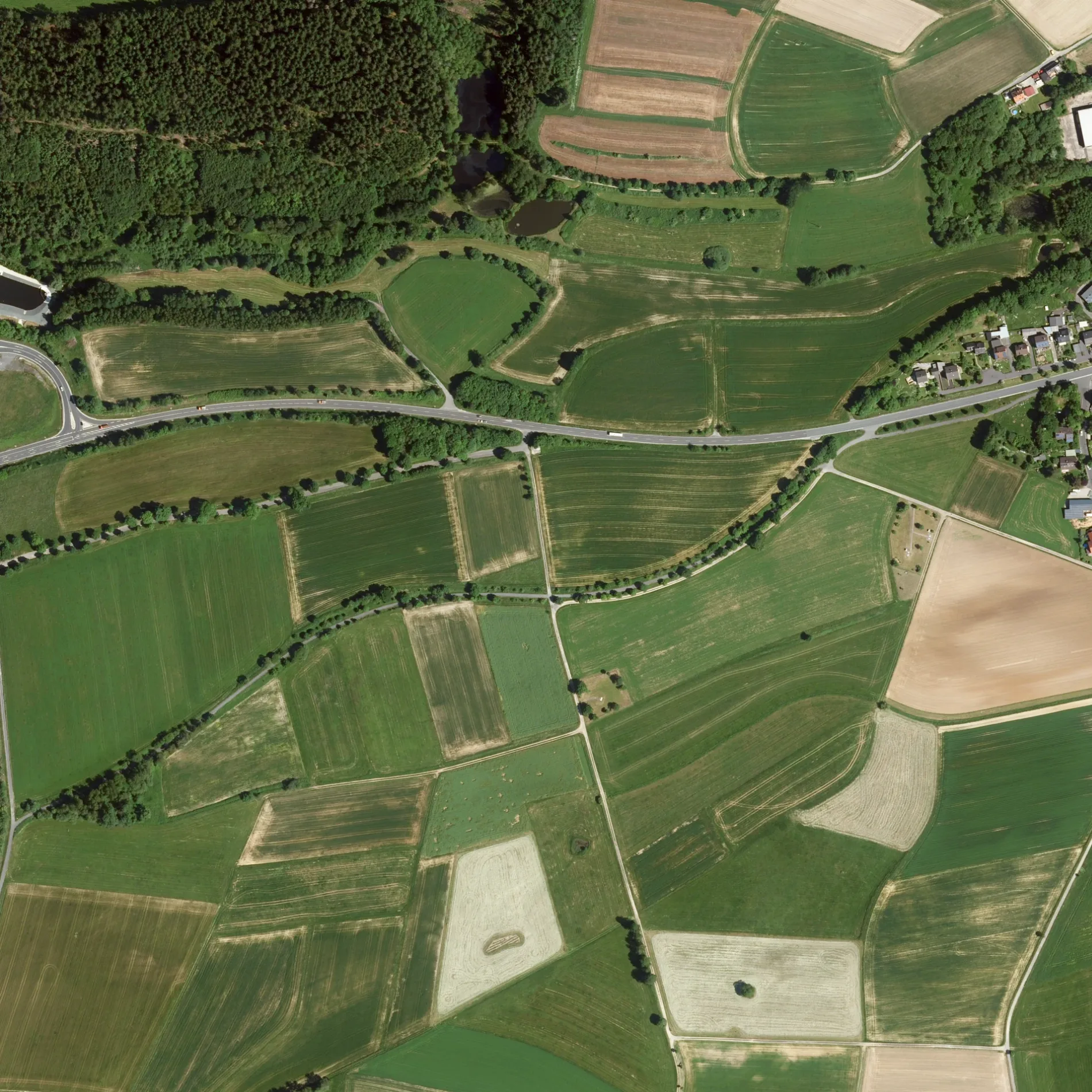
Die Wunsiedler Straße in Thiersheim ist eine asphaltierte Landesstraße (50 km/h). Sie verläuft in Ost-West-Richtung und kreuzt Vorstadt, den Friedhofsteig, die Bahnhofstraße, die Straße Am Thiersbach, die Straße Am Steinbühl und die Jahnstraße. Sie endet in einer Sackgasse. Die nächsten Haltestellen sind Thiersheim, Wunsiedler Str. 27, Mast 2 und Thiersheim, Wunsiedler Str. 27, Mast 1. Hier hält die Buslinie 1701. Eine Wunsiedler Straße gibt es auch in Thierstein. Diese Straße liegt an den Fernstraßen St 2180 und Porzellanstraße.
- Straßentyp
- Landesstraße
- Höchstgeschwindigkeit
- 50
- Verlauf
- Ost-West
Bild
Bushaltestellen
- Buslinien 1701
Straßen in der Umgebung
Pfarrweg300 m
Am Steinbühl300 m
Blumenweg350 m
Rosenweg350 m
Jahnstraße350 m
Wendeplatz450 m
BahnhofstraßeDoktor Schaffhauser, Vorstadteis
450 m
Am ThiersbachKastaniengarten
500 m
Werkstraße500 m
Marktredwitzer Straße550 m
Am Bahnhof550 m
Friedhofsteig600 m
VorstadtKristalliner Kalkmarmorfindling, Bäckerei Schöffel
600 m
Fichtenweg600 m
Braunersgrüner StraßeThiersheim, Am Bahnhof 1, Thiersheim, Am Bahnhof 2
600 m
Heideweg700 m
HeidePension Carola
750 m
HauptstraßeGasthof zur Post, Sparkasse, Tante-M, Pizzeria Da Laura, Gemeindebücherei Thiersheim, Bücherzelle, Fahrschule Müller
800 m
Burgstraße800 m
Sandstraße800 m
Peuntweg800 m
Badegasse850 m
MarktplatzRathaus Thiersheim, Weißes Ross
850 m
Dr.-M.-Luther-StraßeThiersheim
850 m
Am AngerThiersheim, Feuerwehrhaus, Mast 2
900 m
Oberer Stadtgraben900 m
Thiersteiner StraßeKrüger Zahnarztpraxis
900 m
FeuerwehrhausThiersheim, Feuerwehrhaus, Mast 2
900 m
SchulstraßeFlurnamenstein
950 m
Unterer StadtgrabenThiersheim, Feuerwehrhaus, Mast 1, Freiwillige Feuerwehr Thiersheim
950 m
Am Hopfengarten1000 m
Kolpingstraße1000 m
Erbweg1,0 km
Neuenreuther Straße1,0 km
Bäche in der Umgebung
Thiersbach600 m
Fachhandel in der Umgebung
BayWa Agrar Thiersheim500 m
Gebäude in der Umgebung
Geipel Sanitär und Heizungstechnik GmbH350 m
L. Wegmann GmbH Schreinerei - Balkonbau400 m
BayWa Thiersheim500 m
KS Agrar-Handel600 m
Reihl Landmaschinen GmbH850 m
Wasserturm1,1 km
Gotteshäuser in der Umgebung
St. Ägidien850 m
Mariä Himmelfahrt950 m
Industriegebäude in der Umgebung
König Porzellan GmbH200 m
Thermodach Dachtechnik Vertriebs GmbH250 m
Baumann Waagen- und Maschinenbau GmbH550 m
Schulen in der Umgebung
Grundschule Thiersheim950 m
Spielplätze in der Umgebung
Skateboard-Parkour1,0 km
 ÖPNV-Stadtplan Thiersheim Legende
| Bahn | |
| Bus | |
| Straßenbahn |
 Fahrradstadtplan Thiersheim Legende
| Radweg | |
| Fahrradspur auf der Fahrbahn | |
| Radfahren auf der Busspur | |
| Fahrradstraße | |
| Für Radfahrer frei | |
| Für Radfahrer frei, guter Weg | |
| Radfahren verboten | |
| Kopfsteinpflaster |
| Fernradweg | (je nach Maßstab) | |
| Fernradweg |
 Fußgängerstadtplan Thiersheim Legende
| Pfad |
| Fernwanderweg | (je nach Maßstab) | |
| Fernwanderweg | ||
| Fußgänger verboten |