
Schulstraße in Gattendorf
Die Schulstraße in Gattendorf ist eine Wohnstraße. Die nächste Haltestelle ist Warte. Eine Schulstraße gibt es auch in Feilitzsch und Trogen.
- Straßentyp
- Wohnstraße
Bild
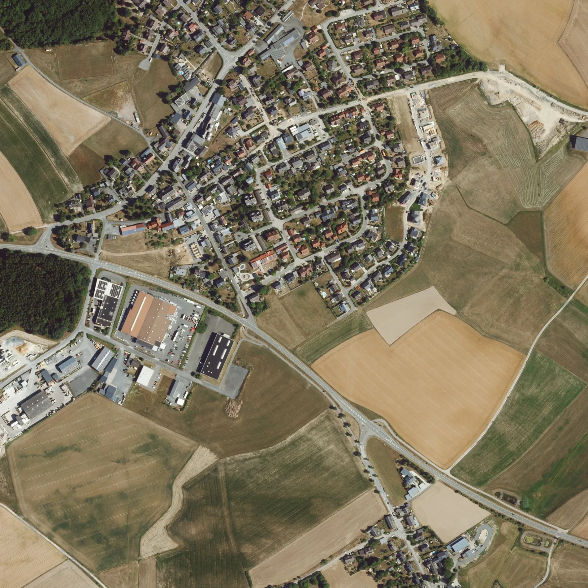
Bushaltestellen
Straßen in der Umgebung
KirchstraßeBürgerhaus "Alte Schule", Neugattendorf Gemeindeverwaltung, Gemeinde Gattendorf, Neugattendorf, Getränke Spinnler
150 m
Auenstraße150 m
Obere AuWald & Kräuter
200 m
Ringstraße200 m
Langenbachstraße200 m
Forstweg200 m
Gumpertsreuther StraßeSchulbushaltestelle Neugattendorf
200 m
BergstraßePinwand
250 m
Am Sonnenbühl300 m
Birkenweg300 m
Untere Au350 m
Oelsnitzer StraßeNeugattendorf Warte, Dorfladen Müller, Dorfschänke
400 m
Wiesenstraße400 m
Am Alten Steinbruch400 m
Brunnenstraße500 m
Am Gewerbegebiet500 m
Im WaldIm Wald
750 m
Flurweg800 m
Mühlberg850 m
AhornwegUnterhöll, Aceretum, Musikhaisla Zum Lenz
850 m
Kirchberg900 m
KirchwegLang
1000 m
BurgstraßeSchloßgattendorf, Schlosshotel, Schloßgattendorf Wende
1,0 km
Döberlitzer StraßeRettungstreffpunkt, Khalife & Kuttkowski
1,1 km
Lindenstraße1,2 km
WaldfriedenNeuenreuth, Waldfrieden
1,3 km
Trogenauer Weg1,5 km
BärenholzRastplatz Bärenholz
1,9 km
Weidigweg2,0 km
Wieselweg2,1 km
HauptstraßeJägersruh Forststr., Jägersruh, Abzw Waldfrieden, Richter, Döberlitzerstr., Schützenhaus Jägersruh
2,1 km
Ginsterweg2,1 km
Holunderweg2,1 km
Bauflächen in der Umgebung
Baugebiet Sonnenbühl II450 m
Bäche in der Umgebung
Dorschenbach2,1 km
Feuerwachen in der Umgebung
Freiwillige Feuerwehr Gattendorf150 m
Feuerwehr Gerätehaus FFW Gattendorf150 m
Friedhöfe in der Umgebung
Friedhof950 m
Gebäude in der Umgebung
Feuerwehr und Wohnhaus150 m
Lagerhaus Gattendorf150 m
Sch.1,6 km
Gewässer in der Umgebung
Quellitzteiche2,1 km
Gotteshäuser in der Umgebung
Pfarrkirche Gattendorf950 m
Industriegebiete in der Umgebung
Bayerlein-Transporte500 m
Industriegebäude in der Umgebung
Spacewall Ladenbausysteme450 m
Arndt Fenstertechnik GmbH & Co. KG500 m
Max Pharma GmbH550 m
Bauer Recycling GmbH700 m
Steinbrüche in der Umgebung
Betonmischanlage550 m
 ÖPNV-Stadtplan Gattendorf Legende
 | Bahn | |
| Bus | |
| Straßenbahn |
 Fahrradstadtplan Gattendorf Legende
 | Radweg | |
| Fahrradspur auf der Fahrbahn | |
| Radfahren auf der Busspur | |
| Fahrradstraße | |
| Für Radfahrer frei | |
| Für Radfahrer frei, guter Weg | |
| Radfahren verboten | |
| Kopfsteinpflaster |
| Fernradweg | (je nach Maßstab) | |
| Fernradweg |
 Fußgängerstadtplan Gattendorf Legende
 | Pfad |
| Fernwanderweg | (je nach Maßstab) | |
| Fernwanderweg | ||
| Fußgänger verboten |