
Karl-Muck-Straße in Bayreuth Gartenstadt
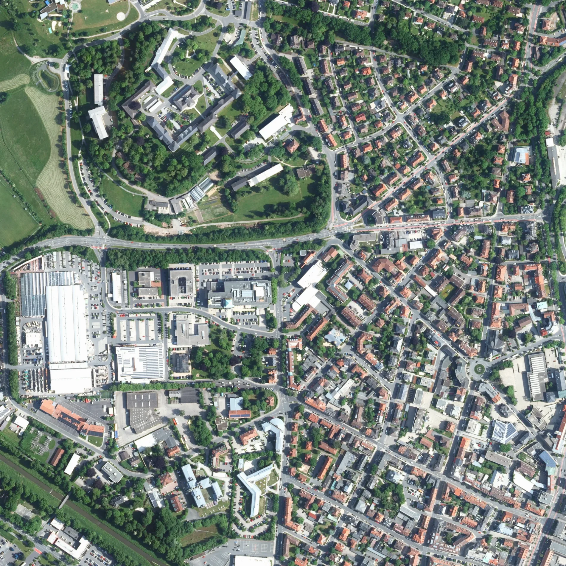
Die Karl-Muck-Straße in Bayreuther Stadtteil Gartenstadt ist eine asphaltierte, beleuchtete Wohnstraße (30 km/h). Die Straße verfügt über Gehwege (Pflastersteine). Die nächste Bushaltestelle in der Nähe ist Gartenstadt (ca. 200 m entfernt).
- Straßentyp
- Wohnstraße
- Höchstgeschwindigkeit
- 30
Bild
Friseursalons
Straßen in der Umgebung
Dr.-Hans-Richter-Straße100 m
Adolf-von-Groß-Straße150 m
NibelungenstraßeGüterbahnhof
150 m
Hugo-Rüdel-Straße200 m
Meistersingerstraße200 m
Bürgerreuther StraßeGartenstadt
200 m
Ursula-Kastner-Weg200 m
Burgenlandplatz200 m
Julius-Kniese-Straße200 m
Felix-Mottl-Straße200 m
Gontardstraße250 m
FeustelstraßeDr. med. Nicolai Schineis, HaarZeitlos
250 m
ParsifalstraßeOrthopädische Chirurgie Bayreuth - Prof. Dr. Klaus Fritsch, 222,5º Arc x 5
300 m
Rheingoldstraße300 m
Friedelind-Wagner-Straße350 m
Heinrich-Schütz-Straße350 m
Cottenbacher StraßeCottenbacher Straße, Wendelhöfen
350 m
GravenreutherstraßeKutzer
400 m
Hofer Straße400 m
KnappertsbuschstraßeGartenstadt
400 m
Siegfried-Wagner-Allee450 m
TristanstraßeSchnitzelhaus am Festspielpark, Am Festspielhaus, Prometheus
450 m
FestspielhügelDer Traum, Festspiel-Shop
550 m
Wolfgang-Wagner-Platzwahnfood GmbH Festspielrestauration, Draupnir mit den Raben Hugin und Munin
550 m
WendelhöfenWendelhöfen
650 m
MorethsgutMorethsgut
700 m
Einfamilienhäuser in der Umgebung
W1300 m
W2300 m
W3300 m
Gebäude in der Umgebung
Villa H. Müller400 m
Wirtschaftsgebäude450 m
Luisenburg600 m
Hostels in der Umgebung
1A Auberge Hostel400 m
Industriegebiete in der Umgebung
Walküre400 m
Kleingartenanlagen in der Umgebung
Kleingartenanlage Bürgerreuth650 m
Krankenhäuser in der Umgebung
Alte Wäscherei400 m
W5450 m
Technik450 m
F8450 m
F1500 m
F3500 m
M6600 m
FO3650 m
Mehrfamilienhäuser in der Umgebung
W4350 m
Sehenswürdigkeiten in der Umgebung
Festspielhaus550 m
Öffentliche Gebäude in der Umgebung
Bezirk Oberfranken - Sozialhilfeverwaltung400 m
F10400 m
F9450 m
VW450 m
 ÖPNV-Stadtplan Gartenstadt Legende
 | Bahn | |
| Bus | |
| Straßenbahn |
 Fahrradstadtplan Gartenstadt Legende
 | Radweg | |
| Fahrradspur auf der Fahrbahn | |
| Radfahren auf der Busspur | |
| Fahrradstraße | |
| Für Radfahrer frei | |
| Für Radfahrer frei, guter Weg | |
| Radfahren verboten | |
| Kopfsteinpflaster |
| Fernradweg | (je nach Maßstab) | |
| Fernradweg |
 Fußgängerstadtplan Gartenstadt Legende
 | Pfad |
| Fernwanderweg | (je nach Maßstab) | |
| Fernwanderweg | ||
| Fußgänger verboten |